This is Central City Mobility Project update #6.
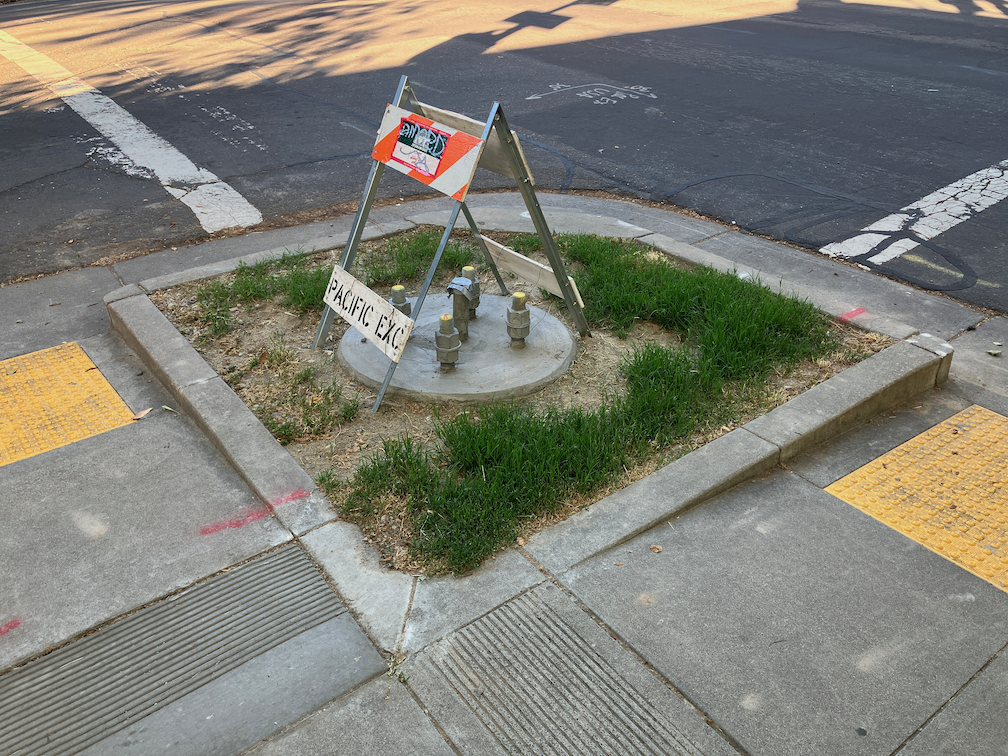
One of the elements of the Central City Mobility Project is the conversion of 5th Street from a one-way, two-lane street, to a two-way, one-lane each direction street. Some work is underway: wiring and signal bases have been installed for the signals necessary for two way traffic at the existing signal locations. Looking at the bases, photo below, I’m guessing that there will be new signal poles and mast arms, not re-use of the existing signals equipment. That seems like a waste of money to me, but the city loves to spend money on new signals, and signal controllers.
I am not sure that many of the current signal locations are even needed. After the conversion, 5th Street will be a lower speed and probably lower volume street. Four-way stops at some major cross streets (such as T Street) might work just fine. Again, the city loves to spend money on signals, and already has unneeded signals at a number of locations (too many traffic signals?).
The Central City Mobility Project map shows the 5th Street conversion as extending from Broadway to I Street. The block between Broadway and X Street is already two-way, as are the two blocks between L Street and J Street (the DOCO underpass). It is also two-way north of I Street.
I wonder what, if anything, will be done for the block between X Street and W Street, under the Hwy 50 freeway. This is a very complex block, with a freeway onramp west of 5th Street and a freeway offramp west of 5th Street. The onramp and off-ramp have separate signal phases from X Street and W Street. Traffic westbound onto the ramp, if it makes the green light, is already traveling at freeway speeds, about 65 mph as it crosses 5th Street. Similarly, but not as egregious, the off-ramp traffic, if it makes the green light, is traveling a bit below freeway speeds. I am really not sure how this complex situation can be made safe for bicyclists. Northbound bicyclists only have to deal with drivers running the red light at 5th Street from W Street, but southbound bicyclists would have to deal with multiple turning vehicle movements. In general, the only way to make complex situations like this safe is to have exclusive bicycle phases in which only bicyclists and walkers are moving, no vehicle movement or turns are permitted. But the city is very unlikely to select that safe alternative because it would lengthen the signal cycles and therefore slow motor vehicle traffic to some degree. The city doesn’t want to slow motor vehicle traffic.
The diagram below, from Google Maps, indicates the complexity of this block, but the reality on the ground is even worse.


Your thoughtful, fact- and use-based examinations of how the City is evolving the various plan implementations is always so helpful, sir! Is there any reason you’re not a member of the City’s Active Transportation Commission?
LikeLike
Thanks for the question. 1) when the SacATC was formed (it was my idea), I was considering applying, and was told by staff to not bother because I am too outspoken and would not be selected; not sure if that is still true; 2) I live in D4, and there are a number of enthusiastic and qualified candidates in D4, so I don’t feel the commission is missing anything by it not being me; and 3) my perception is that I’m more effective as a member of the public than I would be on the commission. I am often the only person to speak, and I can say what needs to be said.
LikeLike
As you say, biking northbound here is not great, but better than you would expect. It is quite obvious that the cross streets are potentially high speed, there is good visibility, and the ramps are on the other side of the road. You can protect yourself and don’t need to trust drivers. The sharrow section between Broadway and the freeway is actually worse. I have no idea how you could possibly comfortably proceed southbound through this intersection, though.
You’d either need to move the bike route to 6th street, or do the bidirectional path thing which is really awkward for these short intervals. Maybe the bidirectional path could extend down the east side of 5th street to Broadway (or farther down to the new apartment building opposite the Mill), which would be a little better. 5th street is also the truck route down to the gasoline depots, though, so maybe it can’t be narrowed much.
LikeLike
The more I look at this, the more I think they should leave the block under the freeway one-way (for cars). The extra car turning movement onto X (there would be cars coming from 4 directions!) will make the through bike connection even worse. A conventional bike lane southbound would end up as unused as 15th street.
It would also allow pretty easy signal timing for a bidirectional bike track. The car-bike conflicts would be right-on-red from 5th->X and W->5th so you “just” need to ban right on red on W to northbound 5th, and have a dedicated (or leading?) walk/bike interval before the northbound green on 5th at X. You’d need exotic bike signals for southbound traffic though.
I am morbidly fascinated to see how this intersection actually turns out.
LikeLike
I hadn’t thought of a two-way cycletrack, but that may be the only viable solution here. As you mention, doing this for a single block would create two transitions, into and out of, in a short distance. But what else to do?
I suppose the city already has a design for this section, but they have not shared it with the public.
LikeLike
Whatever the design ends up being, as I said, previous block between Broadway and X is a big issue as well. They will need to remove lanes to fit even painted bike gutters in there, and making the under-freeway block two-way will only increase the need for car lanes in that and adjoining blocks (which will also make it less comfortable to bike or walk).
I find it very odd that there is no plan released, as the Stockton and Freeport plans were.
LikeLike
[…] had earlier expressed concern and lack of information about where the 5th Street one-way to two-way conversion will be handled where 5th Street passes under Hwy 50. (Yes, I know, that this is technically not […]
LikeLike