This is just a collection of maps that I’ve made over time for the Getting Around Sacramento blog, for your entertainment. Some of these were drawings using base maps such as Google Maps, but most were created with ArcGIS, usually my own but sometimes ArcGIS platforms provided by others.
And, charts I’ve made, for further entertainment. These were created with the charting function of Apple Numbers.
2012
- WalkScore detail for 1615 O St
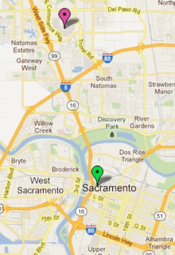
- WalkScore for 1615 O St
- SacRT Route 1 proposed extension
- Power Balance Pavilion vs Railyards
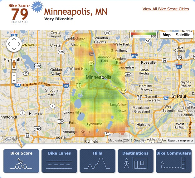
- BikeScore Minneapolis
- Freeport Blvd Bike Lane Project
2013
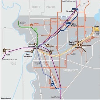
- SacRT Transit Action Plan Scenario C
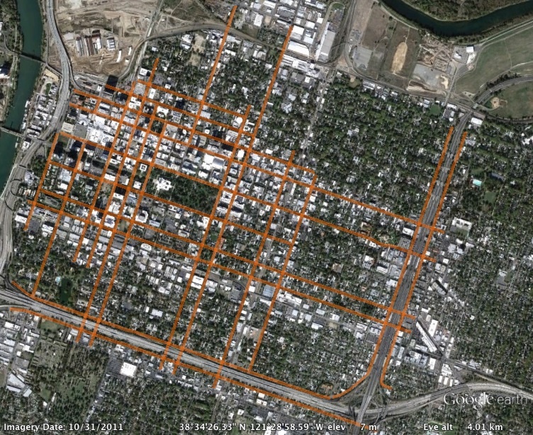
- 3-lane streets in Sacramento central city
- 1-way streets in Sacramento central city
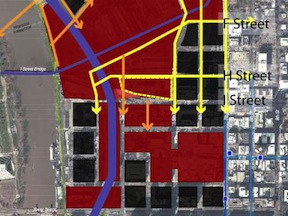
- ULI reconnecting the grid
- Abogo transportation costs 1615 O St
- Abogo transportation costs 8319 Lichen Dr
- 5th St Sacramento convert to 2-way
- I St Sacramento original alignment
- I-5 trench and deck
2014
