sidewalk maintenance by property owners is racist

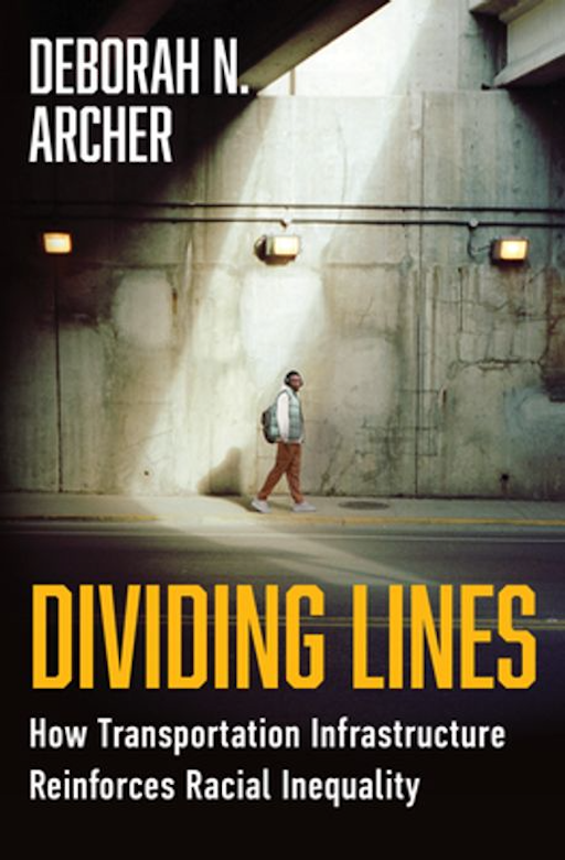
In the 2025 book Dividing Lines: How Transportation Infrastructure Reinforces Racial Inequity (2025; ISBN 978-1-324-13056-7), Deborah N Archer lays out the issues that have long plagued the Black community as their neighborhoods were underinvested, and broken up by transportation infrastructure built for the convenience of white people. She also covers the past legal frameworks that encouraged this, as well as the laws which can be used to fight it and correct it. I am part way though reading the book, but it has deepened my understanding of the racial bias built into our transportation system.

This is not just a problem of other cities. The alignment of Interstate 5 was designed to both erase low income housing and the people of color that lived there, as well as related businesses, and to isolate what remained from the rest of the city. The alignment of Highway 50 was designed to remove low income housing and the people of color that lived there, to isolate the higher income Land Park neighborhood from the city, and erased part of Southside Park. Highway 99 cut directly through south Sacramento and isolated the Black neighborhoods on both sides. And this is just the freeways. Arterial roadways were placed, and widened, and widened again, to separate people of color, and to cater to higher income while people. Many of these were not directed just at Black neighborhoods, but at all immigrant and low income people.

In Chapter 6, ‘The White Man’s Right of Way’, Archer delves more deeply into the issue of sidewalks:

“Even in cities that were not segregated by law, sidewalks in predominantly Black neighborhoods are less common and of poorer quality, often as the result of a legal regime that places greater reliance on private property owners. More than perhaps any other means of transportation, pedestrian infrastructure is highly localized in its construction, funding, and maintenance; the federal government does little to oversee or force accountability on sidewalk quality or even whether sidewalks are required on a particular road. Sidewalks are in some ways “public,” but are also closely associated with adjacent properties or lots. The result is that neighborhood socioeconomic disparities map directly onto pedestrian infrastructure quality, as poorer neighborhoods that are disproportionately Black and Brown are less able to invest private capital into maintaining their sidewalks.”

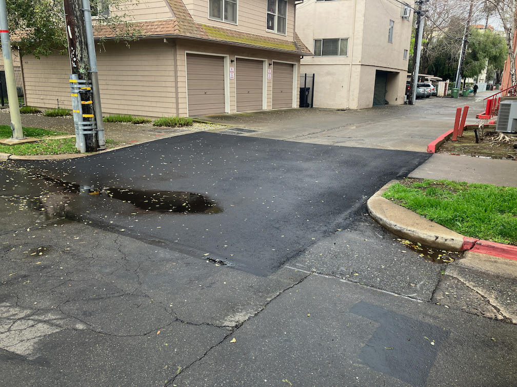
The City of Sacramento responds to complaints about sidewalk condition such as root heaves by making the adjacent property owner repair the sidewalk, or if the property owner does not do so, doing the repair through a contractor and billing the property owner. This is the city’s policy. State law allows the city to impose this, though it does not require the city to impose it. And just because something is in state law does not make it constitutional. As I have said before, requiring a private property owner to maintain city property is prima facie unconstitutional.

The city could take on responsibility, if it so chose. It is worth noting that some of the most poorly maintained sidewalks in the city are adjacent to property the city itself owns. The city often does not apply the requirement to itself.

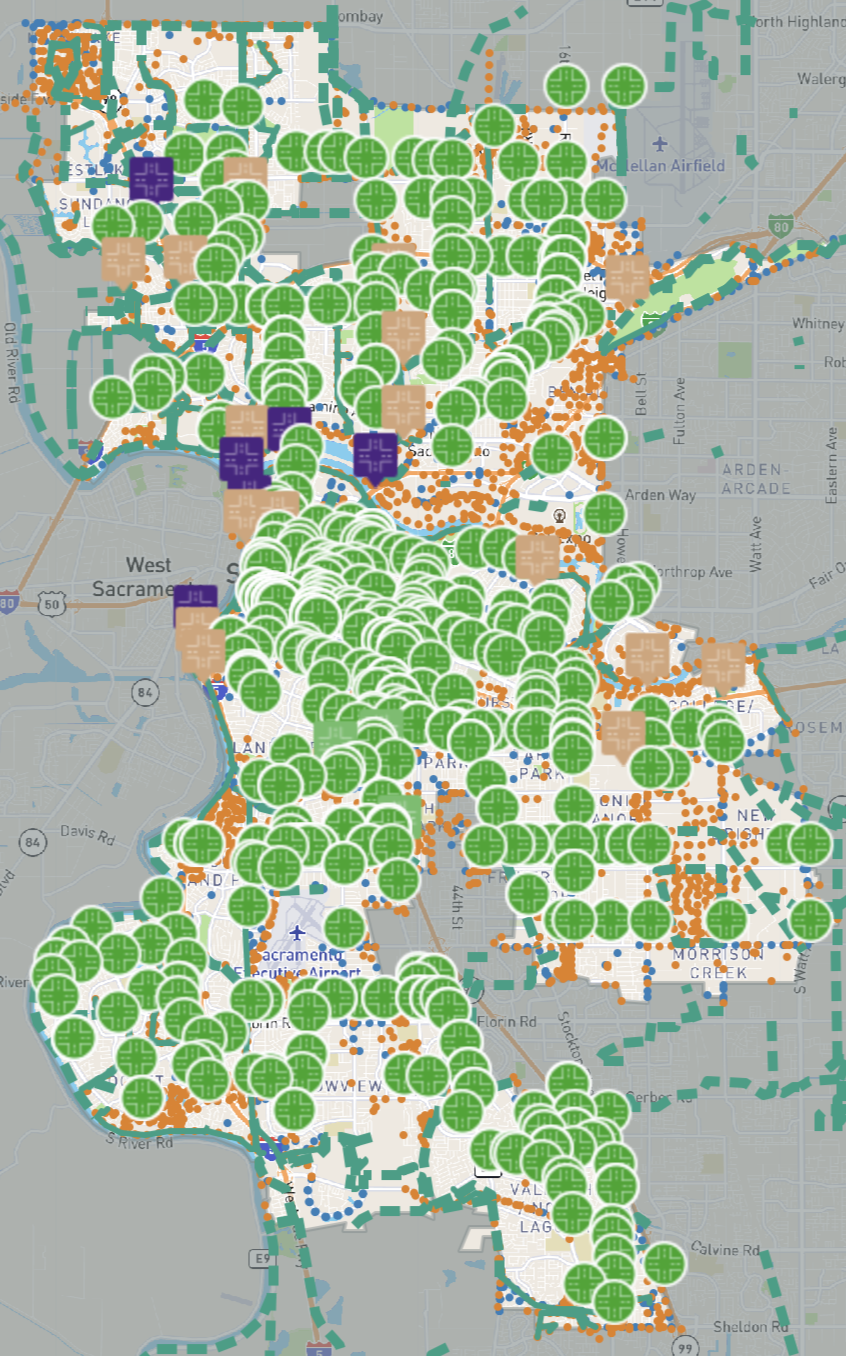
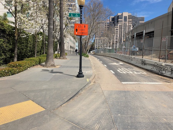
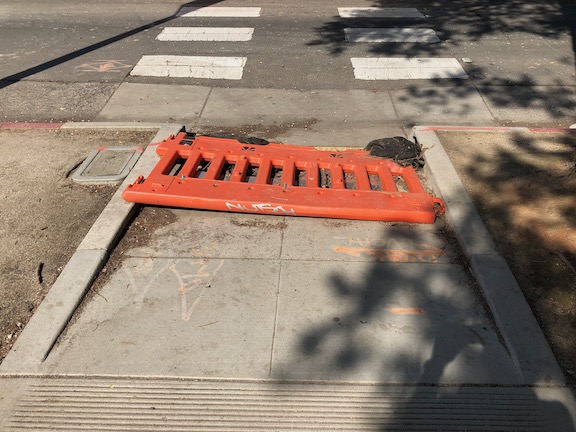
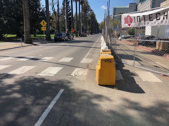
The cost of a sidewalk repair does not fall equitably. A commercial property owner or a high income property owner may be able to handle the cost of repair, which can be quite expensive. A low income or even moderate income property owner cannot. So where are low income and moderate income property owners located? In those parts of the city where sidewalks were narrow or nonexistent, where the standards of construction were lower or overlooked, where sidewalk buffers, if they were present at all, were too narrow to allow for healthy trees. In other words, north Sacramento and south Sacramento.

Archer says: “Municipalities that require private property owners to maintain sidewalks can worsen disparities when they enforce those rules in inequitable or unreasonable ways. For example, when cities pay for the cost of repairs themselves, they often will bill the adjacent property owner. This debt can be enforced through a lien that may ultimately result in foreclosure on the property. It should not be a surprise that Black communities bear the brunt of this practice.”

I used to file 311 reports on sidewalks, before I understood that the financial burden fell on property owns, and not on the city. Once I realized this, I stopped reporting. Archer says:

“A related problem comes when cities rely on private complaints to determine where and when the city should repair damaged sidewalks. Several cities use voluntary complaint systems like “311” phone calls to assess which sidewalks need work. Low-income communities of color are far less likely to call to request help. Seattle, Washington, switched from a 311 system to a fixed repair schedule after officials realized that relying on 311 led the city to make a disproportionate number of repairs in high-income, white neighborhoods. Those residents were more comfortable filing complaints and likely had higher expectations that those complaints would be addressed. When Boston embarked on a citywide campaign to address sidewalk inequities in 2017, it opted not to use a 311 system. Instead, city officials went block by block over Boston’s 1,600 miles of sidewalk to set repair priorities. But not all cities have the interest or the resources to follow Seattle’s and Boston’s leads.”

One can argue about whether these disparities were intentional on the part of the city, or inattention by the city, or the result of private developers, or any number of other excuses. The fact remains that Black, Latinx, and immigrant communities have lower quality walking environments, and lower quality sidewalks, and many of the property owners there cannot afford to maintain these sidewalks.

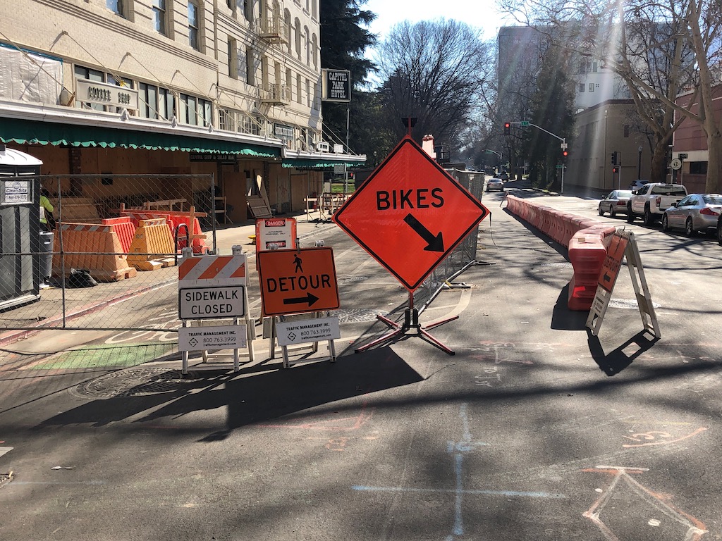
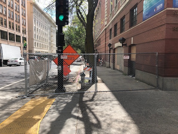
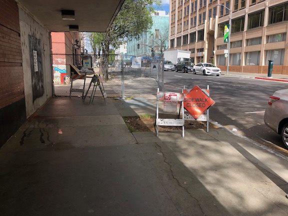
Placing the burden of sidewalk repair on adjacent property owners is racist, if not in intent, then in practice. It is time to change this. It is time for the city to take on responsibility for maintaining sidewalks. I am not talking about situations where damage to a sidewalk is clearly the result of trees planted on private property too close to the sidewalk, or where driving over sidewalks by private property owners (or their tenants) caused damage. But I am most certainly talking about sidewalks where trees in the city right-of-way, which includes sidewalk buffers (planting strips), have caused the damage, and deterioration due to natural causes or substandard construction led to damage. I have looked at miles of sidewalks in the city, and can say with certainty that the city often accepted substandard sidewalk construction because it did not care about the neighborhoods where this shoddy construction was the pattern.

I have written about Denver’s solution (Denver’s approach to sidewalk maintenance, 2024-11-05), and will have more (much more) to say about sidewalks. They are the neglected part of our transportation system.

Talking Headways/Jeff Wood just had an interview (Episode 578, Sidewalk Nation) with Michael Pollack, author of Sidewalk Nation: The Life and Law of America’s Most Overlooked Resource (ISBN 9780674305366), to be published in June. I will take a look at that book when it becomes available, and it should be even more to the point.

Stockton Boulevard Safety and Transit Enhancement Project (STEP)

And yet another City of Sacramento planning effort, the Stockton Boulevard Safety and Transit Enhancement Project. This is a Vision Zero project. Two segments are on the Vision Zero High Injury Network Top 5, Broadway and Stockton (Broadway between Martin Luther King Blvd and Stockton Blvd, and Stockton Blvd between Broadway and 13th Street), and Stockton Blvd South (Stockton between 65th Street and 37th Avenue). However, the project includes the entire route of SacRT 51, from downtown, along 8th and 9th Streets, Broadway, and Stockton as far as Florin Road. It is also a transit project, to enhance bus service along the Stockton part of Route 51, in particular.

Stockton has long been a focus for the city, and county, with many plans developed but none implemented. The current effort is a revision of those efforts to emphasize a potential Bus Rapid Transit (BRT) service along Stockton Blvd, and perhaps some enhancements to the other sections.

A community workshop was held this week at the Southgate Library, with city staff, consultants, and county staff present. Some issues that came up during the workshop include:

  • ridership on bus 51 drops off sharply south of Fruitridge Road, so investment should be focused on the section of Stockton between Broadway and Fruitridge; the nature of the neighborhoods north and south of Fruitridge are quite different, with south being significantly more car-dominated, and so less likely to generate ridership
  • sloped driveway ramps, common along Stockton, must be repaired so that they are compliant with PROWAG; provision of sidewalk buffers which contain the sloped driveways are the optimal solution
  • earlier outreach for Stockton, and every project the city has planned, surfaced a strong community desire for more street trees; healthy street trees need wide sidewalk buffers (the city calls them planting strips) of 8 feet; tiny sidewalk buffers lead to unhealthy trees and root heaves of the sidewalks
  • additional housing going in right now on Stockton, particularly around 8th to 10th Avenues, will generate a lot of walking, and the sidewalks there need to be improved and widened, not in the future, but now
  • several of the design concepts show a center turn lane throughout the project; in most sections, these are a waste of valuable roadway right-of-way; instead, left turn pockets should be provided where clearly needed
  • businesses have concerns about unhoused people using bus shelters and shelter, and crossing Stockton at random places
  • though rail is not being proposed for Stockton, the BRT design should not preclude rail being added at a later time as adjacent density and high ridership develop to justify an investment in rail

The project is also considering changing SacRT Route 51 so that it runs on Stockton from Broadway to Alhambra, and thence on surface streets to downtown. This section of Stockton has a narrower right-of-way, but it also hosts UC Davis Medical Center which could be a major generator of ridership for the bus. The existing Broadway Complete Streets project, and the additional segments from 24th Street to Stockton, have designs with a single general purpose lane in each direction and a center turn lane, which is not a good setting for BRT. The map below shows this option. If SacRT Route 51 was re-routed, there would need to be additional bus service along Broadway, since it is a high transit use corridor.

City and county staff, and consultants, seem to be supportive of a transformed Stockton Blvd, which will effectively serve transit riders, bicyclists, and walkers (and rollers). But there is likely to be pushback from the car-centric people who drive through on their way somewhere else, and who feel that time saving is more important than safety. It will take concerted effort to ensure a strong project.

map of Stockton Blvd Safety and Transit Enhancement Project (STEP)

where the streets have no… sidewalks

Where the Streets Have No Name, U2, 1987

The City of Sacramento has a GIS database of sidewalks, but has not made it available to the public. The Sacramento Active Transportation Commission has requested that the data be made public. A number of active transportation advocates have requested that it be made public. The response is usually vague, but includes the excuses: the quality of the data is too low to make public; it is incomplete, as some streets were never surveyed; it was developed by the consultants and the city doesn’t have permission to publish.

It was shared in Streets for All Active Transportation Plan (Appendix 2, Gap Analysis, page 13). But this is a screen capture of a map, and can’t be zoomed in for detail. (pdf)

The Neighborhood Connections Network Map probably has sidewalk information, and can be zoomed in, but it shows only recommended improvements to create a network, not sidewalk details, and a legend is lacking, so it is not possible to say for certain what the lines indicate. It may be the same information as the Neighborhood Connections Network map that is in the Neighborhood Connections Existing Conditions appendix. (pdf) This map does have a legend, but can’t be zoomed.

The final Streets For People Active Transportation Plan includes the ‘Recommendations for People Walking and Rolling in Sacramento map on page 67 (pdf), but again, it can’t be zoomed in, and includes recommendations, not existing sidewalk conditions. One could assume that the New Sidewalk on Both Sides indicates that there is no existing sidewalk, and New Sidewalk on One Side indicates that a sidewalk exists on the other side, but not both sides. The plan contains six detailed maps, so it is easy to pick out streets, but again, no information about existing.

There is also a recommendations map that was part of public outreach in developing the plan, the Streets for People Draft Network Recommendations. It can be zoomed in, but it is not clear whether the street designations came from the city, or the public, or both.

All of this uncertainty could be resolved if the city would post the data to its GIS (Geographic Information Systems) portal. If the data needs a disclaimer, this is easy to include.

Sidewalks are part of the transportation network, and should be repaired as such

California Streets and Highways Code (SHC) Division 7, Part 3, Chapter 22, Article 2: Repairs, states that the responsibility for repairing sidewalks lies with the adjacent property owner. This is, on its face, unconstitutional, regardless of state code. The state is saying that a government agency can require a property owner to maintain property that belongs to the government, without any compensation. It has long been hoped that a public interest entity would sue the state to declare this code unconstitutional, but so far that has not happened. The ability of the public to sue is overmatched by the power of the cities and counties to fight any such lawsuit. Therefore, it is imperative that the legislature remove this unconstitutional requirement from state law.

It is worth noting that this code dates from 1941. Society’s view of the responsibility of governments to its citizens, what characterizes a livable and walkable place, and equitable transportation systems, have evolved considerably since that time. State law, on the topic of sidewalks, has not.

Code defines sidewalk (paragraph 5600): “As used in this chapter “sidewalk” includes a park or parking strip maintained in the area between the property line and the street line and also includes curbing, bulkheads, retaining walls or other works for the protection of any sidewalk or of any such park or parking strip.” The lack of a definition for ‘parking strip’ is concerning. Is it the buffer area, or does it include parking areas on the roadway? Does the use of this term allow people to park motor vehicles in the buffer? The code is vague.

It is not clear that state code should require, or not require, adjacent property owners to maintain the ‘park or parking strip’, most commonly called sidewalk buffers. These buffers are not part of the transportation network, but they are a key part of enhancing walkability and overall livability through provision of shade trees.

Note that this does not address the day-to-day maintenance of sidewalks in the sense of removal of leaf fall and snow. However, neither does existing code. This is left to policy of the individual city or county, as it probably should be.

The replacement language would be very simple. Chapter 22 would read:

“Sidewalks and curbs are an integral part of the transportation network, and will be maintained for the benefit of all citizens using all modes of transportation, in a state of good repair, under the same requirements that apply to adjacent roadways.”

It is worth noting that the most poorly repaired sidewalks are often adjacent to government-owned property. Governments seem to view this code as applying to private property owners, and not to themselves.

Nothing in state law precludes a local government, city or county, from taking on responsibility for repairing sidewalks. They generally have not done so, because by shifting the responsibility for maintaining part of the transportation network onto private citizens, they can spend more money on infrastructure for motor vehicles. That is the real reason for this state law, and its continuance into modern times.

SacCity sidewalk design standards

I’ve written about existing sidewalk buffers or lack thereof (sidewalk buffer widths), and a solution for areas without sidewalk buffers (street trees in the parking lane), and now on to sidewalk standards. Sidewalk areas are composed of the sidewalk, sidewalk buffer (also called planting strip or furniture zone), and pedestrian scale lighting.

Design criteria:

  • All new or reconstructed streets will have sidewalks, sidewalk buffers, and pedestrian scale lighting
  • Reallocated or mitigated streets will have sidewalk buffers added if right-of-way can be reallocated
  • Sidewalk areas may also include sidewalk-level bicycle facilities
  • Attached sidewalks (sidewalk adjacent to the curb) will not be used for new or reconstructed streets
  • Sidewalk width:
    • Minimum sidewalk width will be six feet in areas of 85% of more residential
    • Minimum sidewalk width will be eight feet in all other areas
    • Sidewalks must be completely free of obstructions, encroachments, or driveway aprons into their minimum width
    • Sidewalks adjacent to and within 1/8 mile of schools will be a minimum of 8 feet; sidewalks used for drop off/pickup will be a minimum of 10 feet
  • Sidewalk buffer width:
    • Minimum sidewalk buffer width will be eight feet in order to accommodate a canopy of mature trees; if a lesser width is available, parking areas will be considered for tree placement
    • Sidewalk buffer may also accommodate street related infrastructure and utilities, street furniture, bike and scooter parking, dining areas, bioswales, and other related uses
  • Sidewalks will receive priority use of right-of-way; travel and parking lanes, and bike facilities, will be placed in remaining right-of-way
  • Bus stop amenities will not be placed within the sidewalk minimum width; the sidewalk buffer may serve as clear sidewalk abutting the curb, with appropriate design and transition; transit amenities may also be placed on transit islands away from the sidewalk and sidewalk buffer
  • Sidewalks will be continuous over driveways and alleys, without interruption of design or materials
  • Pedestrian scale lighting will be provided along the street length; motor vehicle scale lighting will not be considered sufficient; intersections and crosswalks may be lit with motor vehicle scale lighting

Design diagrams:

  • Sidewalks of six or eight feet, with sidewalk buffers of at least eight feet
  • Tree planters or wells in the parking lane or curb extensions
  • Alley entrances and sidewalk crossings of alleys
  • Driveway crossings of sidewalk, with design indicating walking priority
  • Bus stop amenities (benches, shelters, etc.) with a sidewalk area clear of encroachment
  • Transit island diagram here or in the transit section
walkers at Capitol Park sidewalk N St & 15th

sidewalks across alleys

Note: Please see post on City of Sacramento Street Design Standards. It turns out that there are at least two different sets of design standards.

The City of Sacramento has Standard Specifications and Drawings that require certain designs for the public right-of-way. There were last revised April 2020, and are available on the Utilities: Development Standards page. It is not clear why these are part of Utilities rather than Public Works or Community Development, but they are. Though I haven’t done an element by element comparison, they seem to be a considerable improvement over the previous standards, which seem to be June 2009.

There are designs which are not being followed, and others that should be eliminated. Today, I’ll address sidewalks crossing alleys. Alleys are only common in the central city, but they do exist other places throughout the city.

The city design standard is below (pdf of entire page). The detail is hard to see, but the alleyway, sidewalk, and alley driveway are all concrete, none are asphalt. The T-11 Standard Alley Entrance Detail page says “Portland Cement Concrete (PCC) is the city standard pavement for alleys.”

SacCity Specification detail alley entrance

Of course there are many alleyways that are asphalt, and some that are unpaved gravel. I don’t know when the city standards changed to require pavement, or when to require concrete, but those are the current standards. That means that if an alley, or a sidewalk, or the alley driveway is changed, it must meet current standards. Below is a photo of Neighbors Alley at 17th Street, which was just redone within the last two months. It clearly does not meet city standards. Both the driveway and the sidewalk are asphalt, not concrete. Though I noticed this work being done, I failed to notice who was doing it. City? Private? Private utility? Not sure.

photo of Neighbors Alley at 17th Street
Neighbors Alley at 17th Street
Read More »

Sacramento and sidewalks

The draft City of Sacramento Climate Action Plan (CAAP) section MEASURE TR-1: Improve Active Transportation Infrastructure to Achieve 6% Active Transportation Mode Share by 2030 and 12% by 2045, includes the performance indicator “Deploy 20,000 feet of new/repaired pedestrian infrastructure by 2030”. The final CAAP will become part of the city’s 2040 General Plan.

This is less than four miles of sidewalk repair. The city has approximately 2300 miles of sidewalk. At this rate, 8 years to repair 4 miles of sidewalk, it would take 4600 years to address the sidewalks in the city. What does the city intend instead? That private property owners repair sidewalks, even though the sidewalks and the land they sit on belong to the city (in most cases, though some wider sidewalks in the central city are a mix of city and private). From the city’s Sidewalks, Curbs & Gutters page:

Q: Isn’t it the City’s responsibility to maintain the sidewalk? Isn’t it public property?

A: The sidewalk is in the City’s right-of-way. However, California Streets and Highways Code sections 5610 through 5618 allow cities throughout California to require property owners to maintain the sidewalks in front of their property. Sacramento City Code section 12.32 sets forth the City’s procedures under these sections.  Sacramento is not the only city to require sidewalk repairs to be the property owner’s responsibility. However, curb and gutter maintenance is the City’s responsibility. As the property owner may bear civil liability for a person suffering personal injury or property damage caused by a defective sidewalk: it is in the property owners best interest to maintain the sidewalk and reduce the risk of a lawsuit.

Note the word ‘allows’. Nothing requires that the city shift the burden of sidewalk maintenance to private property owners. The city has simply decided to do so, so that it may shift responsibility of a critical part of the transportation infrastructure off the city and onto adjacent property owners (so that it may spend more on roadway capacity expansion, in case you were wondering). Though it would make sense to require property owners to repair sidewalk damage from root heaving due to trees on private property, it is ridiculous (and criminal, in my opinion) for the city to demand that private property owners repair sidewalks when the trees are in the city-owned sidewalk buffer area. This is the sort of action one would expect in a dictatorship, forcing citizens to take on individual responsibility for city actions.

See previous posts: Walkable Sacramento #4: sidewalks and whose responsibility are sidewalks?.

9th St fixed, sort of

Following on to the post 9th St blocked by construction, the city has partially fixed the issue.

At the south edge of the sidewalk and bikeway closure, at L Street, there is now some signing, below. However, the signing and fencing do not meet ADA detectability requirements. Though there is more than one way of meeting detectability, an example graphic follows, showing a low bar across the entire width, detectable by canes used by vision impaired people. See my earlier post signs and diagrams for construction zones and construction zone solutions for more information on signing and barriers.

9th St at L St sidewalk closure signing

What would otherwise be a reasonable route and signing for northbound pedestrians is blocked by an open construction gate. This open gate was not being actively used in any way, it had just been left open. A person walking is forced to walk outside the crosswalk to get to the bypass.

9th St at L St bypass entrance and signing, blocked by construction gate

For southbound bicyclists on 9th Street at K Street, the diversion starts suddenly, pushing bicyclists into the traffic lane without warning. This is not necessary, the construction cone placed blocking the separated bikeway should not be there. This is just plain sloppiness. The bikeway could remain open, with a half block available to place signing that explains there will be a diversion and bypass ahead.

9th St blocked separated bikeway

Then there is the entrance to the walking and bicycling bypass, below. The same lack of detectable barriers as in the first item also exists here. If a vision limited walker encountered the construction fencing across the sidewalk, they would have no idea where the bypass is. The ‘sidewalk closed’ and ‘pedestrian detour’ signs are MUTCD compliant signs, MUTCD R9-9 and MUTCD M9-4b respectively, but they need to be placed on or above a detectable barrier, not on sawhorses which do not meet detectability requirements. The ‘bikes’ sign is a made-up sign, and because of its size, it intrudes into the shared bike and pedestrian space. I can imagine bicyclists hitting the sign on their way into the bypass. The correct sign for the location is actually MUTCD M9-4a, shown below.

9th St pedestrian and bicyclist bypass
MUTCD M4-9a right

It took about four weeks for the city and construction company to come up with and implement a new traffic control plan, which is ridiculous. If there had been a problem with motor vehicle traffic instead of for walkers and bicyclists, it would have been solved in less than a week. And it would have been done right. Either the new traffic control plan does not really meet ADA requirements, or the signing and barricades placed do not follow the traffic control plan. Remember, this is a city project, reconstruction of Capitol Park Hotel, so not only is the city responsible for managing streets, but also for managing the construction project. Take a look at the photos, or go walk or bicycle the section of 9th Street between K Street and L Street. The sloppiness of the work is glaring. As I’ve said before, the city does not care about walkers and bicyclists, and is not fulfilling its legal responsibilities.

Why is that I, a private citizen, continually have to tell the city when they are doing things wrong, and how to do it right?

830K construction zone

Yet another. There is a construction project, or at least a fencing off for future construction, at 830K, a long abandoned building. Along 9th Street, a fence has been put up where there used to be a bus stop, extending from K Street to and including Kayak Alley.

Southbound at K Street, there is no signing on the fence at all. This is not a major flaw, as it is obvious the sidewalk is closed, but there is no information about how far the closure extends.

9th Street southbound at K Street, west side (830 K)

From the south end, things are much worse. There is no signing at L Street to indicate there is a closure ahead. When you get to the closure, there is a random assortment of barricades, each of which is non-ADA compliant, and not indication which way to go. If Kayak Alley were open, it would at least offer an alternative, but the alley is closed.

9th Street, northbound at Kayak Alley, west side (830 K)

The worst part of this is that, so far as I can tell, nothing is going on here. The sidewalk, and bus stop, was closed off by fencing, but since then, nothing is happening. The point here is that there should be requirements placed on construction projects that if they stall out, the sidewalks must be returned to their previous open condition until such time as construction resumes.

poor accommodation at 3C

The convention center and community center theater project (3C) project did a very poor job of preserving access for walkers and bicyclists at the beginning. Some issues have been resolved, but some never have, though the project has now been going on for just less than two years.

The most significant issue is that there was no provision made for northbound bicyclists on 13th Street, passing the construction between L Street and J Street. 13th is a major bicyclist route of travel, and the city knew this before the construction started. But the original traffic plan did not address this use at all. After public complaints, a sign was installed on the sidewalk for northbound bicyclists, photo below, but not the southbound. The numerous walkers using this sidewalk, adjacent to the Marriott and Sheraton convention facilities, were confused to see bicyclists on the crowded sidewalk. After more public complaints, a sign was added southbound, the second photo, though it is placed in a location where people coming from K Street would not necessarily see it. As you can see in the first photo, the sidewalk is narrow just north of the crosswalk, so bicyclists heading north are brought into immediate conflict with pedestrians heading south, many of whom are headed to the crosswalk over L Street. Of course having an angled ADA ramp here, rather than the two-to-a-corner design that should be used wherever there is significant pedestrian traffic, makes things worse.

Of course the best solution here would have been to just close 13th Street to motor vehicles between K Street and L Street, leaving the narrowed roadway available for two-way bicyclist traffic. There are far more bicyclists using this route than private vehicle drivers. Despite that, the city biased in favor of drivers.

13th Street northbound at L Street
13th Street southbound at K Street

One issue on which progress was made was the southeast corner of J Street and 13th Street. Initially this corner was closed, giving walkers only one choice of how to cross, despite this being one of the most heavily used intersection crossings in the city. There was no reason to close the corner off, the area behind the fence was never used for construction. After about a year and a half, the corner was re-opened, photo below, so that walkers have a choice of routes. Note that when the city finally worked on this corner, the work was not done behind the fence, but the fence was moved and then the sidewalk and ramp work done by closing off the corner until it was done.

J Street & 13th Street, southeast corner, finally re-opened

On the east side of the project, issues remain. The sidewalk from J Street south along 15th Street has no signing indicating that it is closed ahead, see photo. When you get half way, there is just a fence blocking access. In daylight, you can see the fence ahead, but a limited vision person and anyone walking at night would not see the fence until they got to it. This is simply unacceptable.

15th Street west side, southbound from J Street, no signage

There are several other less serious issues around the east and south sides. At K Street & 15th Street, there is no signing to indicate how to get to the other side, to go either northbound or southbound. This one is not hard to figure out, at least for sighted people, but it was still not done correctly. This crosswalk ramp should have been barriered off, just like the ADA compliant barriers in the previous post, since it only leads to a closed crosswalk.

On the south side of the project, there are plastic barriers for the crosswalk over 14th Street at L Street, and for the crosswalk over L Street on the west side of 14th Street. These barriers were knocked over months ago and have not been put up again. There were not sufficient to begin with, but laying down on the ground, are both useless and hazardous.

14th Street at L Street, failed barrier
L Street at 14th Street, west side crosswalk, failed barrier

I’m going to call this one a failure on the part of both the construction company and the city: the construction company for failing to monitor and maintain the traffic control devices for which they are legally responsible, and the city for failing to monitor the construction company. Blame all around!

And lastly, the closure of a lane on L Street for the construction was not handled well. As you can see, there is a narrow crosshatched area the length of the block. One might reasonable choose not to go this way, but then again I see people going this way every day, both walking and bicycling. I am not sure how this should have been handled, but there must be a better solution. Of course one solution would have been to continue a temporary pedestrian walkway on the north side of the street, set off by concrete barricade, and requiring only a simple fence to separate the walkway from the construction site. If more street width was required, parking could have been removed from the south side and the general purpose lanes shifted to the left. Note there there never was a bicycle lane present in this block, it is dropped at 15th Street and the traffic sewer 3-lane roadway continues west.

L Street westbound at 14th Street, narrow shoulder

In closing, this construction project is probably the worst in the city (though there is competition). It does not involve a private property owner, it does not involve a state construction project, it is a city project on city land. There is simply no excuse for such poor walker and bicyclist accommodation. It is a big middle finger to those to who don’t drive.