For previous posts on parking in the City of Sacramento, see category: parking management.
The proposed City of Sacramento budget has increases in penalty fees for parking illegally, as documented in the recent SacBee article (Sacramento proposes hiking parking violation fees amid $66M budget shortfall, Ishani Desai, 2026-04-30). Not explicitly stated, but implied, is that parking fees will not be increased at this time.
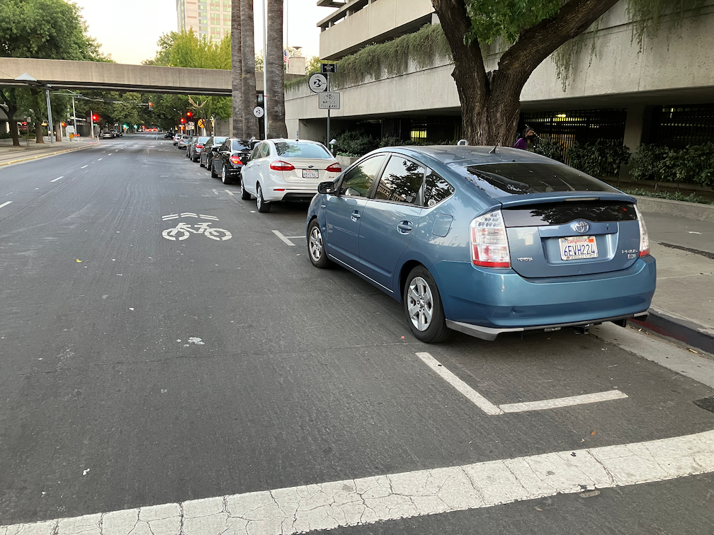
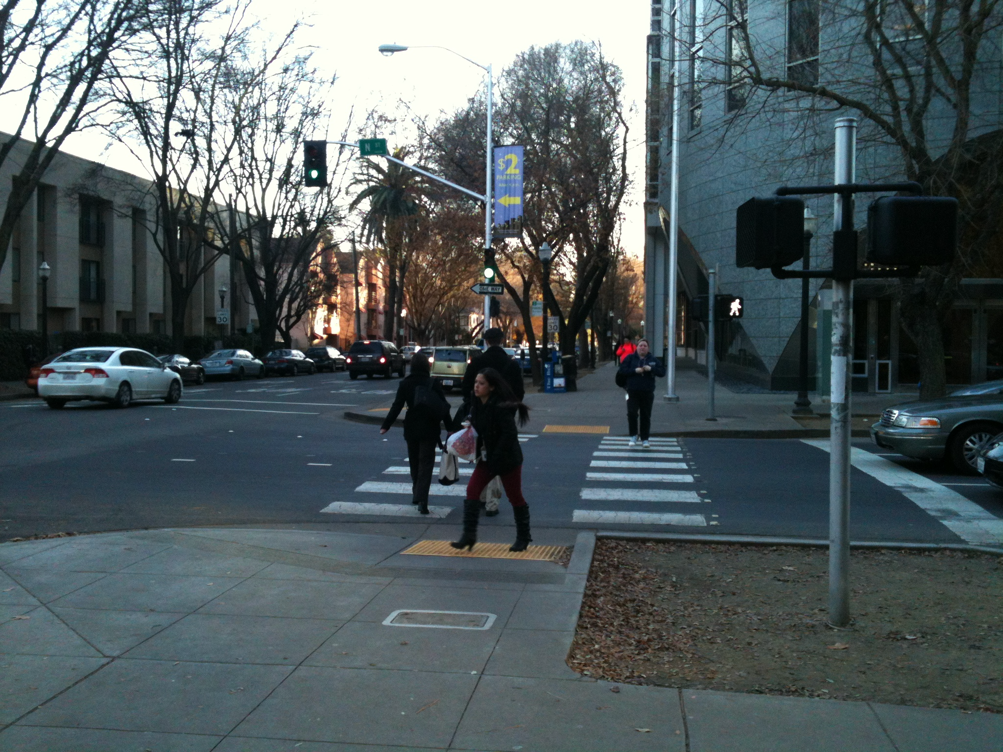
I am glad that penalties will be increased, though I think they should be increased a great deal more. The ‘The fee for parking in a bike lane could increase to $150, up from $50.’ is great, though it should be much higher. Not called out in the list is parking blocking crosswalks. This may fall under one of the other categories, or it may not. When I have reported blocked crosswalks via 311, the report back is usually either no citation was issued, or the vehicle was gone, though I have observed many times that the vehicle is still there. Apparently the parking officers don’t consider blocking crosswalks to be a big deal. I do! The penalty for blocking a crosswalk should be enforced, should be a separate listed category, and should be $500. When people walking have to go outside the crosswalk to cross a street, it reduces their visibility and increases their exposure to traffic violence. This is not a victimless habit.
Increasing parking fees was one of the possible budget solutions proposed by Public Works, which controls parking in the city. The proposed budget does not increase parking fees. I understand this, given the current focus on affordability. But I think increased fees should be on the table. Even in the highest rate zones, the parking fee does not cover the true cost of providing that on-street parking space.
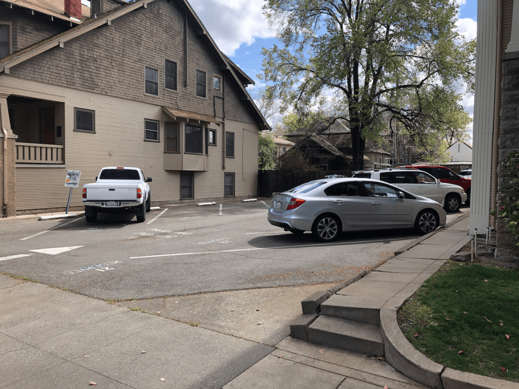
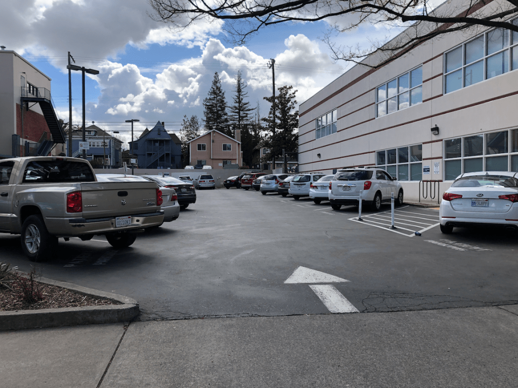
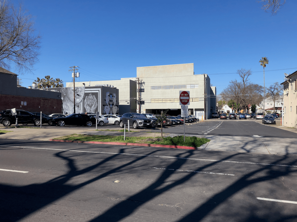
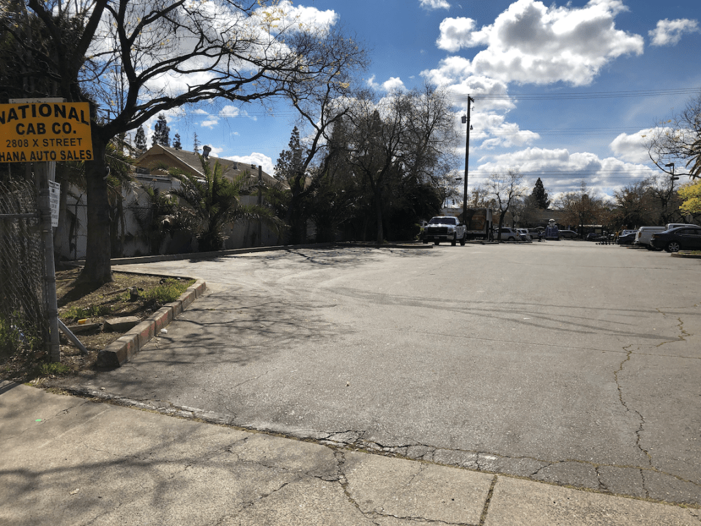
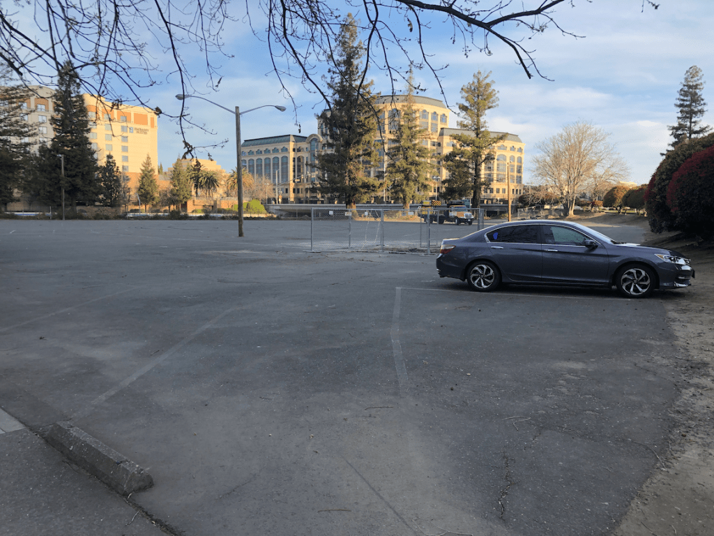
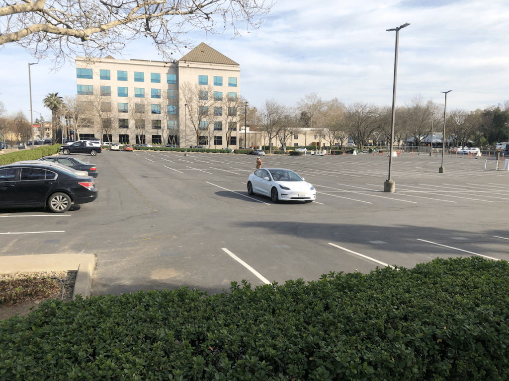
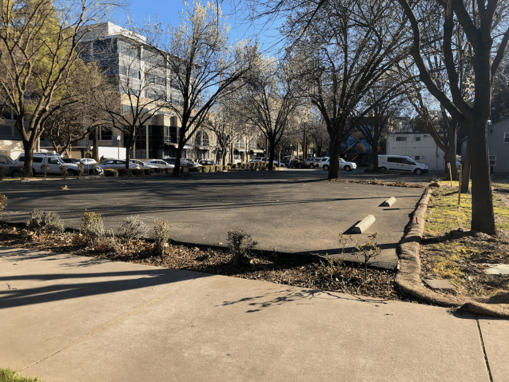
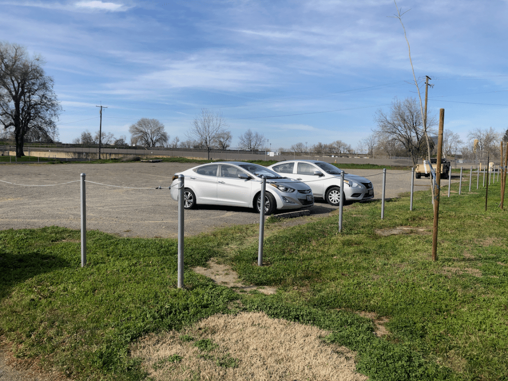
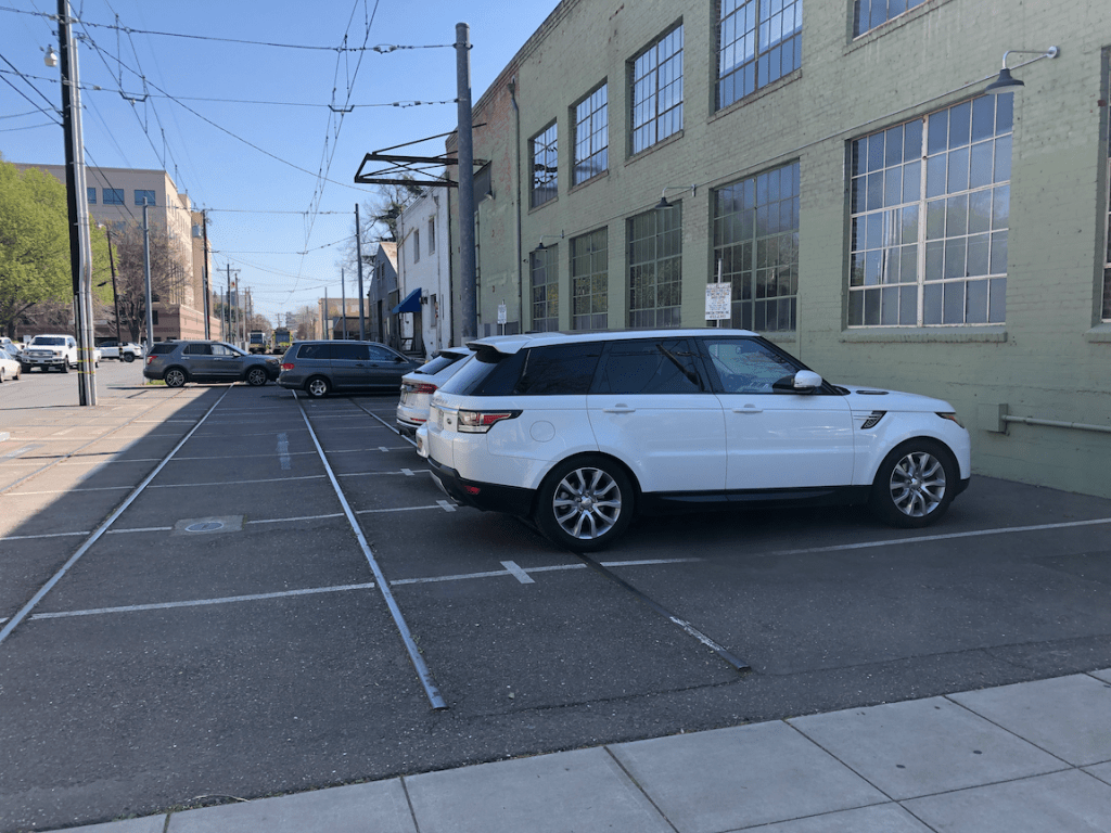
But the elephant in the room is that the city gives away free parking almost everywhere.
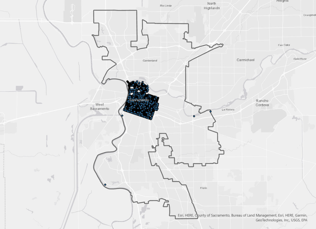
Residential parking permits, required to park in non-metered parking spots in the central city (the map below shows more or less where those zones are), are available to any resident. The cost? Free, zero, nada, zip. Residents can park their privately owned vehicle on the street within three blocks of their residential address, and pay nothing to the city for that privilege. See Residential Permit Parking (RPP). Charging a minimal fee for a residential parking permit would be a good start on actually managing parking in the city. How about $20 per month, or $240 per year?
How many vehicles are on the street with free residential parking permits? I don’t know, and there is no indication that the city knows, either. But is is clear that this income would make a big dent in the city budget deficit.
Even more egregious is that the city charges absolutely nothing in the vast majority of the city. The map below shows metered parking in the city, which is essentially just the central city. Outside this area, parking is free. Storing a private vehicle on public property provided by the city, and taxpayers? Nothing! These areas outside the central city are probably not a ‘valuable’ as the central city (though the cost of providing free parking is just the same), so maybe a offer a deal, $10 per month, or $120 per year.
How many vehicles are on the street in this vast free parking area? I don’t know, and there is no indication that the city knows, either. But is is clear that this income would make a huge dent in the city budget deficit.
Note that I am not proposing that additional areas of the city be metered, though there are arguments for metering some locations with high commercial and residential activity. The investment in meters, installation and maintenance, is worthwhile only where parking is heavily used, and turn-over is highly desirable.
There is no such thing as free parking. The cost of parking includes, but is not limited to:
- the original cost of constructing the parking lane
- the land value of parking lane that could be occupied instead by more productive uses
- maintenance of the parking lane, including street sweeping, leaf season pickup, and pavement replacement
- resistance from people parking for free to any change in the street that might decrease parking, while improving safety and livability; this might include wider sidewalks, bike facilities, and traffic calming measures such as curb extensions
- increased heat island effect from black asphalt in the parking lane
- increased storm runoff from the parking lane
I am not against on-street parking. It does serve a public need, and it does slow traffic speeds a bit through ‘friction’. But why do we give it away for free, ever, and particularly under a budget crisis? Because we privilege the desires of private motor vehicle owners over all other people and all other priorities.