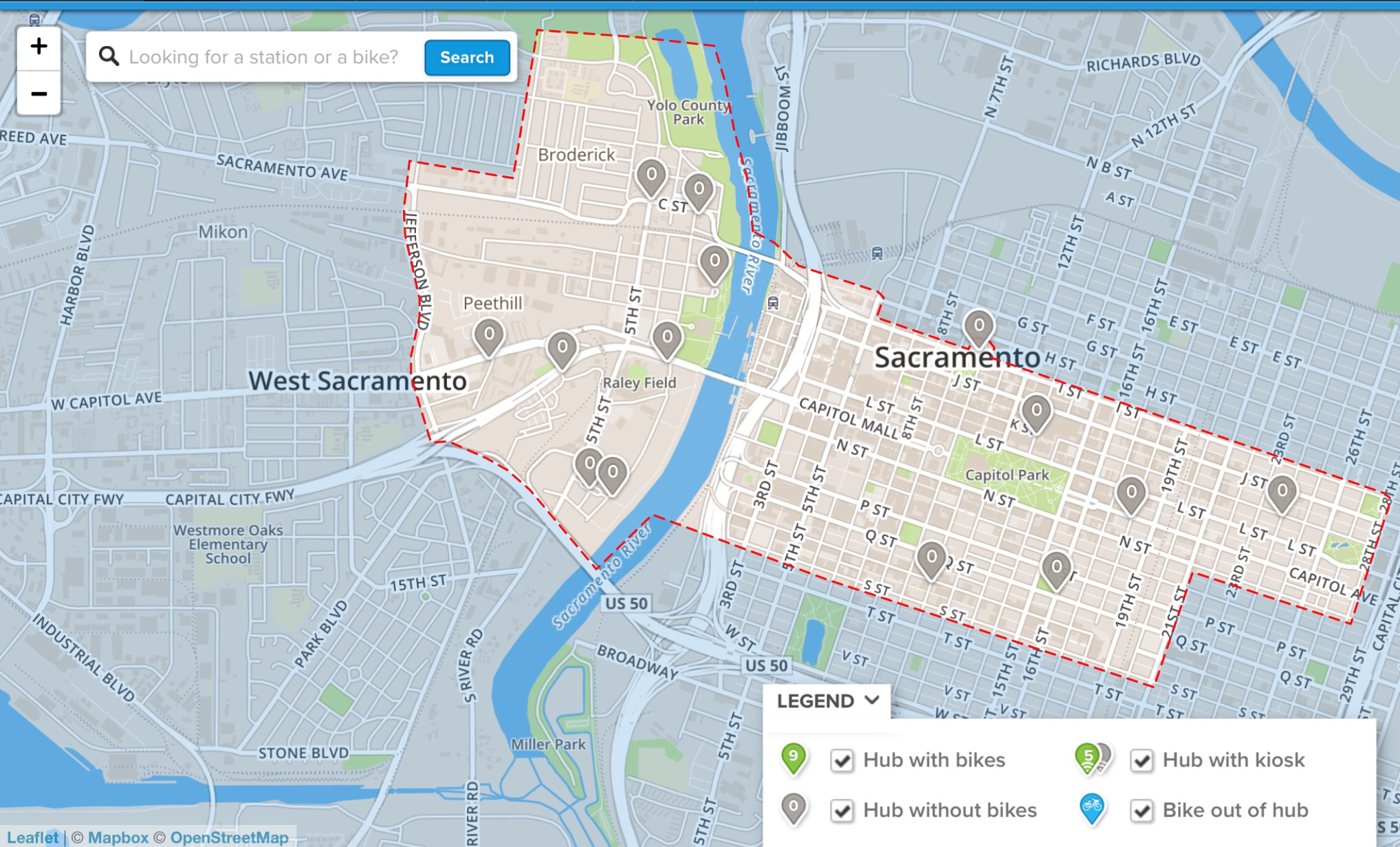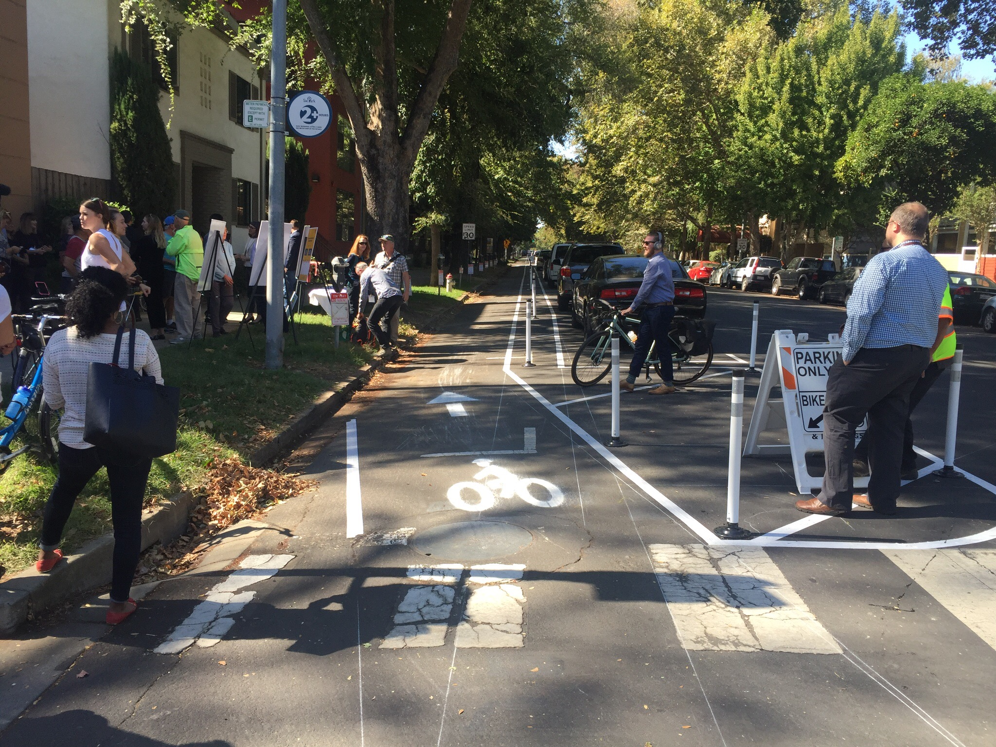
The City of Sacramento has created a demonstration separated bikeway on P Street (westbound) between 15th and 13th streets. Separated bikeways, also known as protected bike lanes and cycletracks, are becoming common in progressive cities, but this is the first in Sacramanto. Yesterday the city held a “ribbon cutting” on the facility, with Mayor Steinberg and Councilmember Hansen speaking and visibly excited. The demonstration will be there through Friday, then removed. The purpose of the demonstration is to show the public what a separated bikeway looks like and how it works, and gain community feedback on the project. The city wants to install parking protected separated bikeways on portions of P and Q streets, and a buffered separated bikeway on a portion of 10th St (map below), so the demonstration hopefully will lead to permanent installations.
I was amazed at how quickly drivers adapted to the parking change. Most of the spots were filled with properly parked cars, even though the parking didn’t open until after the morning rush on parking. I was also noted that when the project was already set up for the morning inbound rush hour, there was no congestion on P St. This is the type of project that benefits drivers, bicyclists, and even people parking.
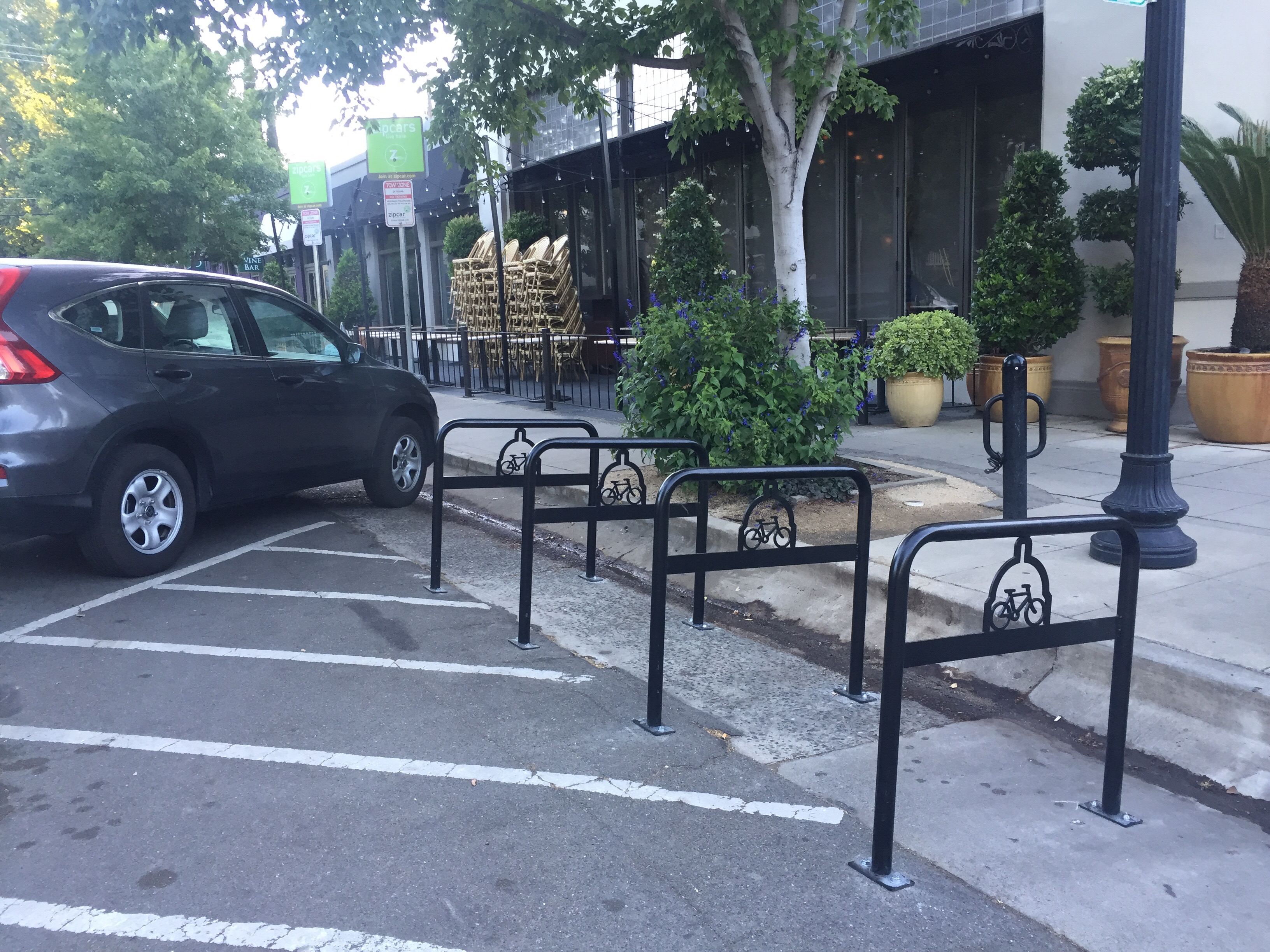
On of the questions about these facilities is how they interact with transit. The demo was placed on the left (south side westbound) to avoid interacting with buses. However, Route 6 Land Park and Route 38 P/Q Streets are low frequency 60 minute routes that should not strongly influence street allocation. An easy solution to having both separated bikeways and bus stops on the same side of the street is bus boarding islands within the parking lane or buffer, so that the bikeway passes behind the island.
I encourage you to get out and see, and use, the demo, and then provide your feedback to the city. The city will host an Open House on October 9 from 5-7 p.m. at City Hall. If you can go, please do! I’m sure there will be people there complaining about loss of a lane, and loss of parking (though there is only a slight decrease), and about change in general, so the city needs to hear from enthusiasts (we want it NOW) and thoughtful ideas for how to improve projects and install in more places. More information is available on the CityExpress page, and the Downtown Bikeways Project page.

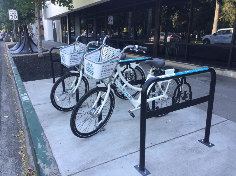
More photos on Flickr: https://www.flickr.com/photos/allisondan/albums/72157686958079110.


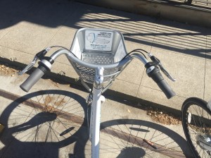 One of the things I do not like about these bikes is the handlebar configuration. They are sort of like beach cruiser bikes, with the angle along the side rather than the traditional handlebar angle. I hate this hand position. After 10 minutes of riding, my forearms were sore. I can put them in a more comfortable position, but only by taking my hands off the brakes. I see other bikes with this handlebar configuration, so I’m sure some people will love these. Not me!