I have been irritated by the Caltrans ‘Let’s Change This to That’ advertising campaign for litter pickup and highway cleanup. Certainly litter is a water quality issue, particularly when that litter is washed into the ocean. The really big problem is not the litter, however, but the roads and highways that Caltrans has designed. The highways and wide roadways seem especially adept at accumulating litter, and illegal dumping. Could it be that the highways are such horrible places that people feel compelled to litter them? The highways are overbuilt, incredibly expensive, destroyed and divided neighborhoods, inject air pollution straight into low income communities, and prevent real solutions to climate change and livability. Maybe litter is a comment on all this.
Inspired by the campaign graphics (second below is an example), I’ve created one of my own. I took a shortcut, using something that has already happened (without Caltrans cooperation), the Embarcadero Freeway in San Francisco which was damaged beyond repair in the 1989 Loma Prieta earthquake. When I have the time, I’ll look for other photos to pair, of actual changes or of potential changes. I’ve seen AI transformations that I think could play well for that, but a big part of my purpose here is to call out Caltrans greenwashing.
If this idea inspires you, I’d like to see your campaign graphics for highway removal. My ‘Let’s Change This to That’ graphic is available as a webp. Don’t know how to upload other formats.
‘Let’s Change This to That’ for Embarcadero FreewayCaltrans ‘Let’s Change This to That’ graphic
There has been construction on several of the corners I had previously mentioned (half-measure corners?), with 21st Street and O Street being the most advanced. It seems that I was wrong about curb islands being put in – there is no evidence of such construction. I don’t know why the asphalt cutting implied that. When more of these are complete, I’ll post again.
What seems to be going on is simple updates to place ADA-compliant curb ramp with detectable warning strips. Of course any improvement to curb ramps helps everyone, disabled and otherwise, and I’m not criticizing that. Rather, wondering why when the city is changing these corners, they did not take the opportunity to do true curb extensions. The ADA ramp and detectable warning in place for O Street is wider, than previous ramps and strips, looks to be more than four feet rather than the prior narrow ones. If all the ramps end up wider, that will be a plus.
This work is probably part of the city’s Central City Mobility Project. The project detail mentions ‘turn wedges’. Maybe the wedges will be added later, or maybe these will be at different locations than the ones I’ve looked at. The page does not specifically mention ADA ramp improvements.
21st St & O St, northeast corner, ADA ramp construction, partially complete
I had mentioned in the previous post curb extensions being extended to serve as bus boarding areas. I am not aware of any of these in Sacramento, but San Francisco has many. Many earlier posts have mentioned bus boarding islands, but this is for a street without bike lanes (yet), which allows the bus to stop in-lane and people to board directly. Notice that the extension allows for a bus shelter without constraining the sidewalk width for walkers. This should be the standard for Sacramento for all streets with bus routes but not bike lanes.
curb extension and bus boarding extension, San Francisco, Leavenworth & Sutter
Brian Schoenfisch of the City of San Diego talked about how they had activated public space downtown by closing streets, liberal implementation of temporary and permanent use for dining and recreation, and new parks. Almost all development in downtown is by-right, which was accomplished by removing regulations and doing a categorical CEQA approval for downtown infill.
Noah Arroyo of the SF Chronicle said that a lot of the homeless issue in SF was more perception that reality. He also said that the many, many layers of development review in SF make it nearly impossible to build affordable housing, or any housing.
Greg Shill of University of Iowa Law School said we need to change cities so people can walk/bike to destinations, that cities actually have a lot of control over what happens there, and that transit is going to be in crisis for at least ten years.
Cornelius Burke of California Building Industry Association said that we need housing of all types and for all income levels.
Questions from the audience largely focused on how we make up for past mistakes like urban renewal and redlining, and how citizens can ensure movement towards building cities people want. Everyone agreed that creating a more successful Downtown Sacramento requires housing, housing, housing, to replace and grow beyond that which the city and state removed during urban renewal.
I had interesting discussions with Greg Shill before and after, and with Brian Schoenfisch after. I think the real benefit of these presentations is the opportunity to bounce ideas and perspectives off of people who have spent a lot of time thinking about these issues.
As I was listening to the lecture and questions, I was also looking out over downtown from the 7th floor Metropolitan Terrace, I came back even more strongly to a key difference between successful midtown and struggling downtown. Almost all of the existing developments and opportunities downtown are quarter block, half blocks, and full blocks. The fine-grained parcels of midtown, which allow and encourage infill development, were erased by the city when they acquired the small parcels and aggregated them into large parcels. So now there are only opportunities for big developments, and big developments are even harder now than they were before. If the city really wanted to promote infill, they would break up the large parcels that are empty or hold surface parking lots into smaller parcels. Infill developers would be asking for these opportunities. Almost no one is asking for the large parcels.
Unlike many events I go to sponsored by the Downtown Sacramento Partnership, at this one I did not know anyone else. That is actually fun, meeting new people.
I’ve written recently about red-light-running bullies. On Wednesday morning I got to observe the logical consequences of this behavior.
red light running crash at P St & 15th St
The driver of the SUV heading south on P Street intentionally ran the red light, colliding with the passenger car that was heading west through the intersection. The red light running was well after the light had turned red. Fortunately the red light running driver slammed on his brakes and the resulting collision was low speed, or the other driver might well be dead. I might well have been dead if the other car had not been in the way, since I was using the crosswalk over 15th St, west to east, and would quite possible have been run over by the SUV driver. The driver would have been much less likely to see me than to see the other car.
Really all the red light running driver had to say is that we was in a hurry.
Perhaps most interesting is that law enforcement refused to come to the crash. The passenger car driver had called 911 shortly after the crash, as did at least one bystander. I waited 45 minutes so that I could give a statement. The passenger car driver said that he had finally gotten a text message back that no one would respond. So the crash will not get recorded anywhere. The SUV driver will not get a ticket. Apparently the 911 operator had transferred the caller to CHP, and it is CHP that refused to respond. Perhaps they were busy attending a white supremacy meeting somewhere and couldn’t be bothered. No one died – what’s the big deal?
Just more traffic violence. Nothing to see here. Let’s move along.
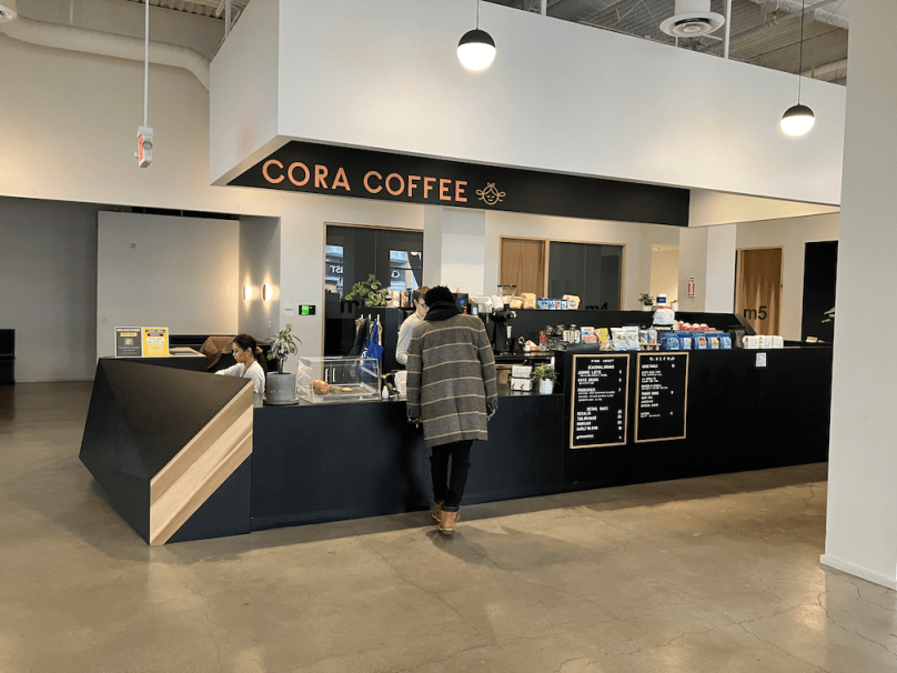
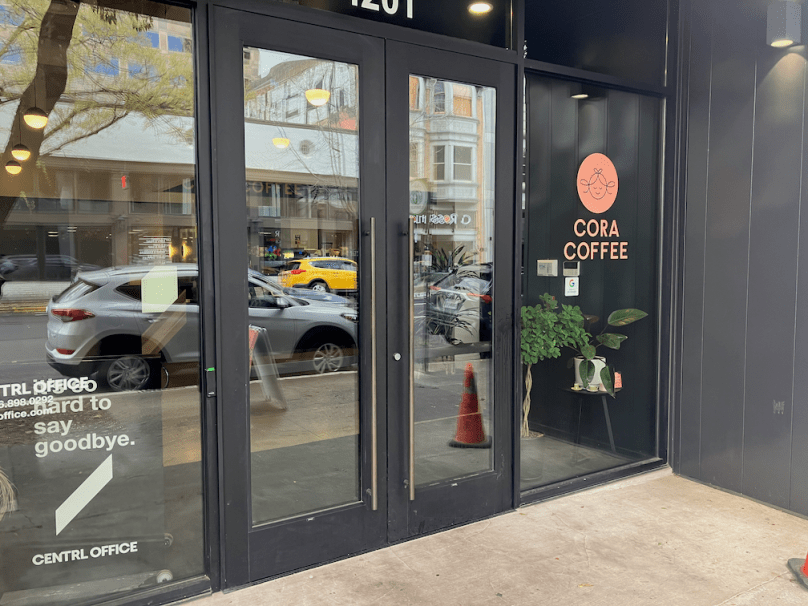
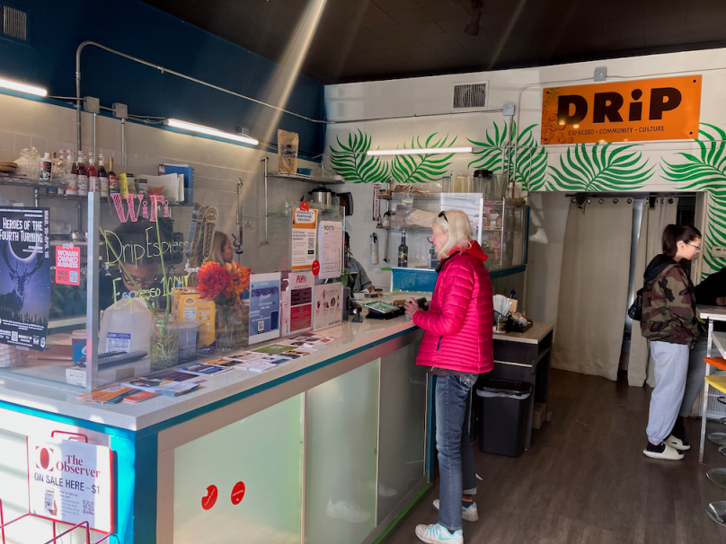
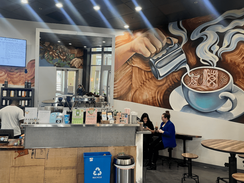
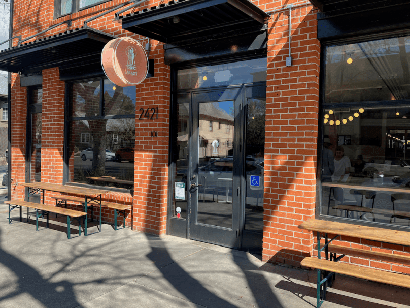
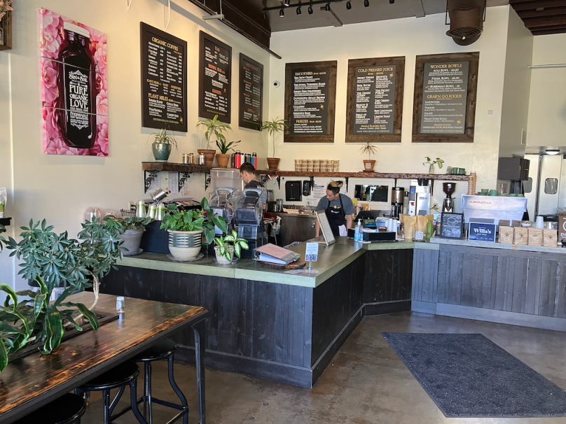
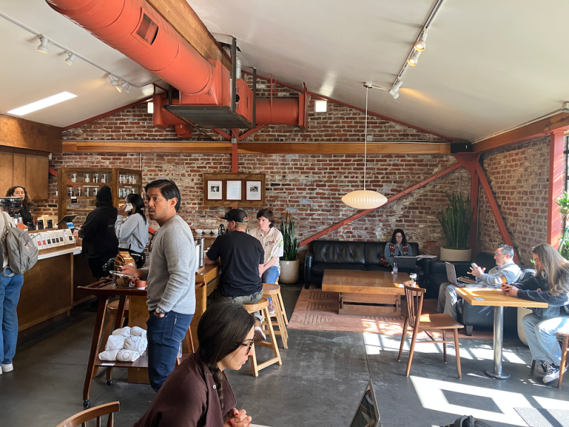
2024-01-07 update since the original post: Anchor and Tree Coffee (16th St) has soft opened, Flow State Coffee has closed, Milka Coffee has a second location on R St, Pressed is probably closing and has shorter hours, Tupi Coffee has moved to 8th St, and I missed Tiferet on the Park Coffee on H St in my original post. The spreadsheet and slide show have been updated and will be further. Note that the spreadsheet image seems to offer clickable links, but does not; you must use one of the other formats.
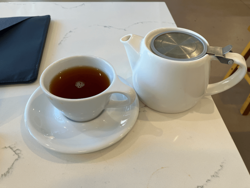
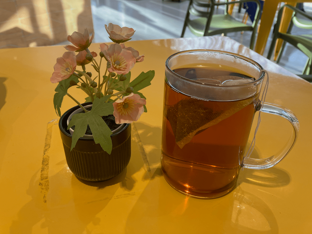
Disclaimer up front: I don’t drink and don’t even like coffee, but I do drink and love tea, and the majority of coffee shops offer tea as well, but most other businesses do not. So I can tell you absolutely nothing about the variety or quality of coffee at any of these shops.
I have long believed that the frequency of locally-owned coffee shops is a key indicator of livability and walkability. Though I’ve not done the calculations, I think this measure would be just as effective a ‘walk score’ as the WalkScore offered by Redfin, which uses a complicated and proprietary algorithm to determine walkability, measured as distance to amenities. Note that WalkScore does not assess the walking environment such as presence or condition of sidewalks, and safety of crossing streets.
I live in the Sacramento central city, the area bounded by the Sacramento River to the west, Broadway to the south, Alhambra Avenue to the east, and the railroad tracks to the north. I have focused my coffee shop visits on this area. Though there are certainly coffee shops throughout the urbanized county, the number of locally-owned coffee shops drops off rapidly outside the central city. In much of the suburbs, there are only chain coffee shops such as Starbucks and Peets.
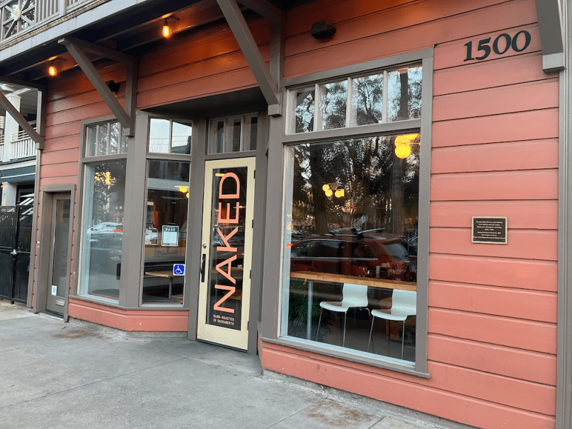
My preferred locally-owned coffee shop is Naked Lounge, on the southeast corner of Q Street and 15th Street, across from Fremont Park. I go there for tea, and for socialization. For those who remember ‘the old days’ when people socialized more and spent less time on their computers, yes, I miss those days. Some days I write in my journal, some days I read, some days I talk to people, and yes, some days I too work on my computer.
If you also like to drink tea at home, as I do, I recommend Tea Cozy, 1021 R Street, next to Fox and Goose, with a very large and diverse offering of bulk and packaged teas. And in Davis, Mishka’s Cafe, 610 2nd Street, offers a selection of tea unparalleled in the region, so far as I know.
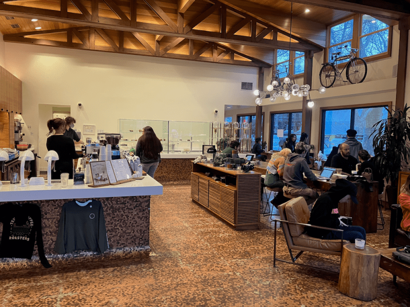
Below is the table I compiled, along with pdf, Numbers, and xlsx versions. The columns are what interested me, and the ratings are entirely my own, not based on any scale. Reuse means they offer reusable cups for tea and coffee service, outdoor means they offer outdoor seating, and tea indicates my take on the number and variety of teas offered.
grid coffee spreadsheet static image
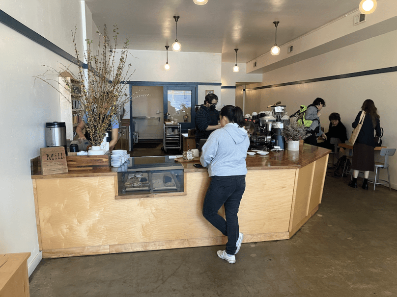
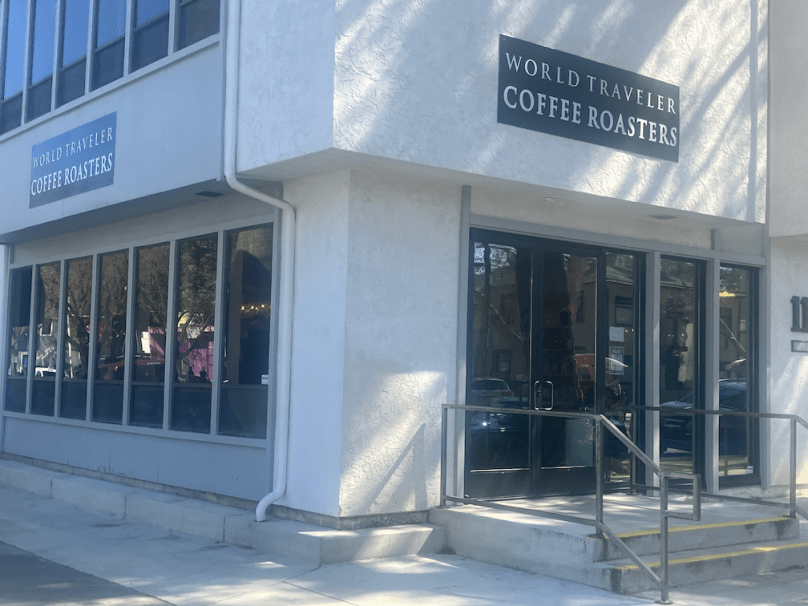
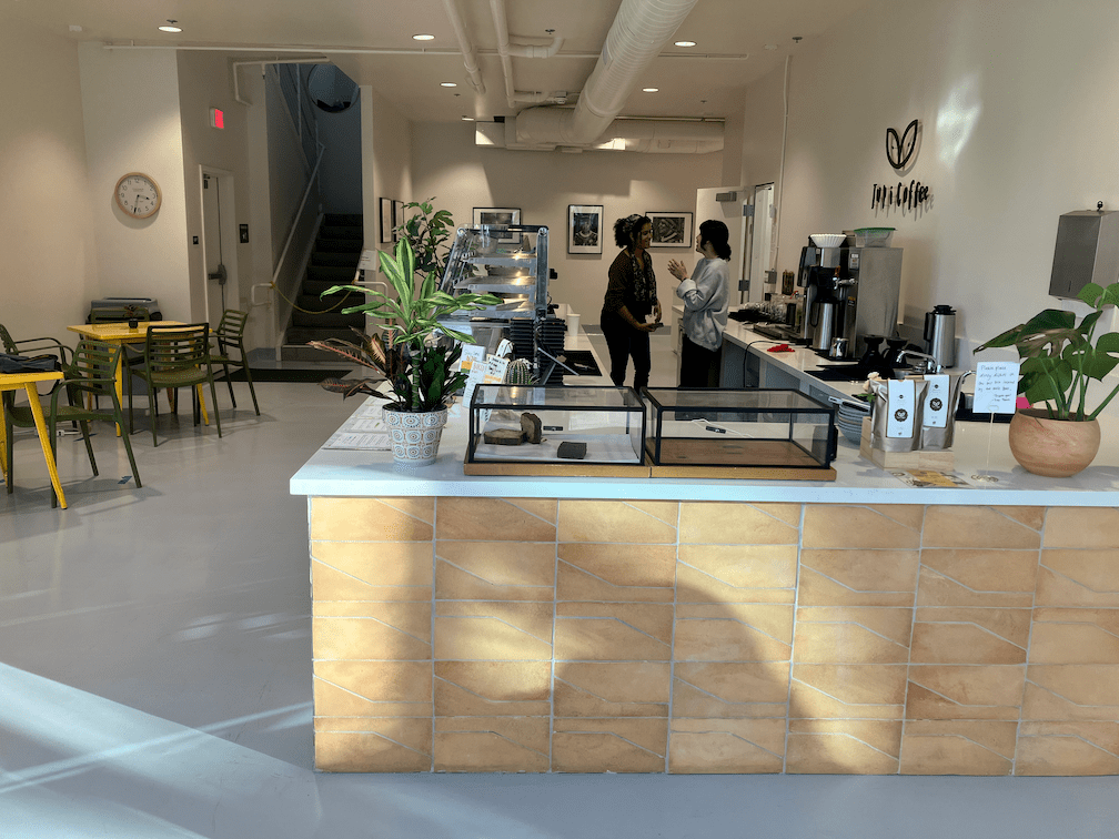
I visited each coffee shop location on the grid. I attempted to take a photo of each, outside and inside. I also started taking photos of the tea service, but didn’t start at the beginning so only a few are in the slideshow.
Summary: Complete streets concept is a failure because it doesn’t address frequent safe crossings. It leaves streets dominated by motor vehicle traffic while not necessarily increasing safety or welcoming design for walkers and bicyclists.
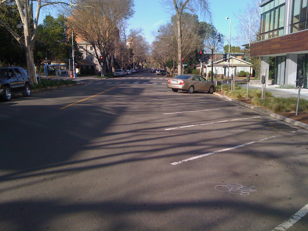
A recent post on Strong Towns (Ager Road: Where Complete Streets Fell Short) shows a street that was converted to a ‘complete street’, and won awards, but is actually less safe and less pleasant than what was there before. A fatality occurred shortly after the conversion, perhaps as a result of the conversion increasing vehicle speeds, perhaps not, but the conversion did nothing to reduce the likelihood.
From the post: “This is a stroad in disguise,” remarked Strong Towns Director of Community Action Edward Erfurt when examining Ager Road in Hyattsville, Maryland. And a Twitter post below.
My response:
The complete streets concept is largely a failure, everywhere it is implemented. I’m sure the original intentions were good, but every complete street project I’ve seen affirms the primacy of motor vehicles over other modes. The greatest failure of all is not what happens along the street, but that the concept does not even address the need for frequent safe crossings of the roadway. No wonder traffic engineers have embraced the concept – it allows them to continue motor vehicle dominance and accept traffic violence.
Dan Allison
So you can see the present ‘complete street’ more clearly:
Google Street View of Agar Rd, referenced on Strong Towns
The complete Streets concept is all about travel ALONG streets. Though it recognizes that crossings of streets are important, and encourages designs that make crossing safer and more welcoming, it does NOT address the frequency of safe crossings. The Complete Streets Coalition, part of Smart Growth America, does not require that complete streets policies include anything about the frequency of safe crossings. And so nearly all polices do not address that. The Caltrans policy, which applies only to state highways but is often applied to other streets, does not mention the frequency of safe crossings.
Traffic planners and engineers have embraced the Complete Streets concept, and tout policies and implementation. But what do we really end up with in most cases? Just more motor vehicle dominated streets, which is what most traffic planners and engineers want anyway, and claiming a complete street isolates them from criticism of the roads being designed and built, while making it more likely that they will be a federal, state, or regional grant for their project. Very few projects are awarded grants these days unless they claim to be a complete streets project. That is good, but the bar is set so low for what can be called a complete street, that the result is just more car infrastructure.
The project shown in the Strong Towns post checks off the following elements:
sidewalk, check
bike lane, check
green paint, check
general purpose lane(s), check
fence to prevent walkers from crossing any place other than the signalized intersection, check (I put this here with tongue in cheek)
What it does not check:
narrow the travel lanes to calm traffic
reduce the speed limit or actual speed through design
remove slip lanes (ask any bicyclist how they feel about bike lanes that cross high speed slip lanes)
reduce the corner radius at driveways
install or maintain street trees to calm traffic and provide shade for walkers
widen sidewalk buffers to ensure healthy trees and vegetation
create a pleasant walking environment
provide wayfinding to the nearby Metro station
The next time you hear a planner or engineer mention ‘complete streets’, hold on to your wallet (because, after all, it is your tax dollars that fund ineffective projects), and look around you to identify the traffic violence that will remain or even be increased.
The first step in designing a safe and welcoming streets is top ensure that there are safe and welcoming sidewalks and crossings of the street. Everything else comes after that, if at all. Adding bicyclist facilities that are neither safe nor welcoming, and reducing the the environment for walkers in trade, is going the wrong direction, and will lead to less walking and more traffic violence.
Summary: The city should not install curb islands at corners, as it is currently doing, but rather install much safer and more effective true curb extensions, even if fewer can be installed now. Temporary installations can be used at other corners.
The City of Sacramento is currently re-doing a number of intersection corners in midtown. Most of these corners are along 21st Street, so far as I’ve noticed, but some are on other streets, and there well may be other locations I’ve not noticed yet. Last week crews were out saw cutting asphalt at corners, in preparation for new concrete work. The existing corner concrete and ramps have been removed from at least two corners, and at the 21St Street and O Street corner there is form work for whatever is going to replace the old corners.
The first photo is of the saw cuts at P Street & 19th Street. The cuts don’t really stand out, but they do indicate the areas that will be changed.
19th St & P St, SW corner, asphalt cuts for corners changes
It appears from the saw cuts that what is going to be constructed is something similar to the existing northwest and northeast corners. Northwest is shown below. I am not sure what to call these. They are not in the city’s street design standards, and almost the only place where I’ve seen them is Sacramento. I looked at several other cities to see if these were in their street designs, and they were not. So, just to call them something, I’m going to call them ‘curb islands’. The City of Los Angeles calls these floating curb extensions, but apparently their intended use is with bike lanes, not with gutters.
19th St & P St, northwest corner, corner islandsRead More »
Part of an ongoing series of posts to support better streets in the City of Sacramento during their 2023 update of Street Design Standards. New standards must be innovative, safe, and equitable, and it will take strong citizen involvement and advocacy to make them so.
I am offering only three street classifications. I know most classification systems use more, but I’m for simplicity. A key part of this classification scheme is that streets with more than two lanes per direction are NOT streets, and should be called roads instead. Of course they are stroads, but the city is unlikely to use that term. A road is for traveling, and therefore should have few to no driveways and few to no turning movements. Every driveway and ever turning movement is an invitation to conflict and crashes. The arterial roadways in the city fit into the stroad category. We don’t need them, and we should never construct another.
Street classification (see below for diagrams):
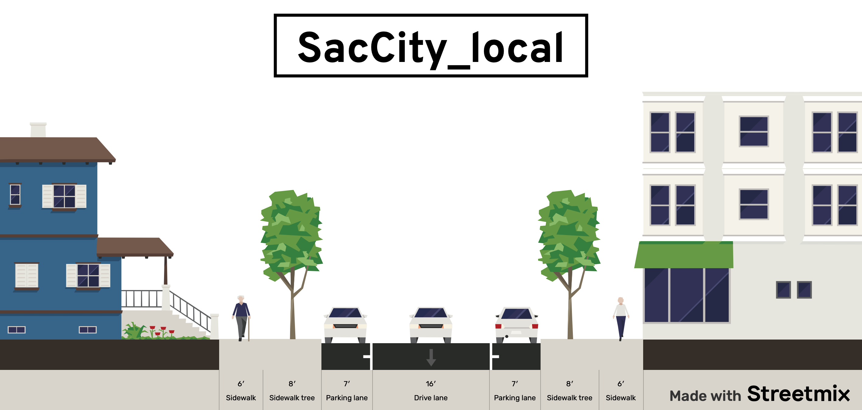
local or yield: narrow lane (unmarked), parking, up to 20 mph; for local travel
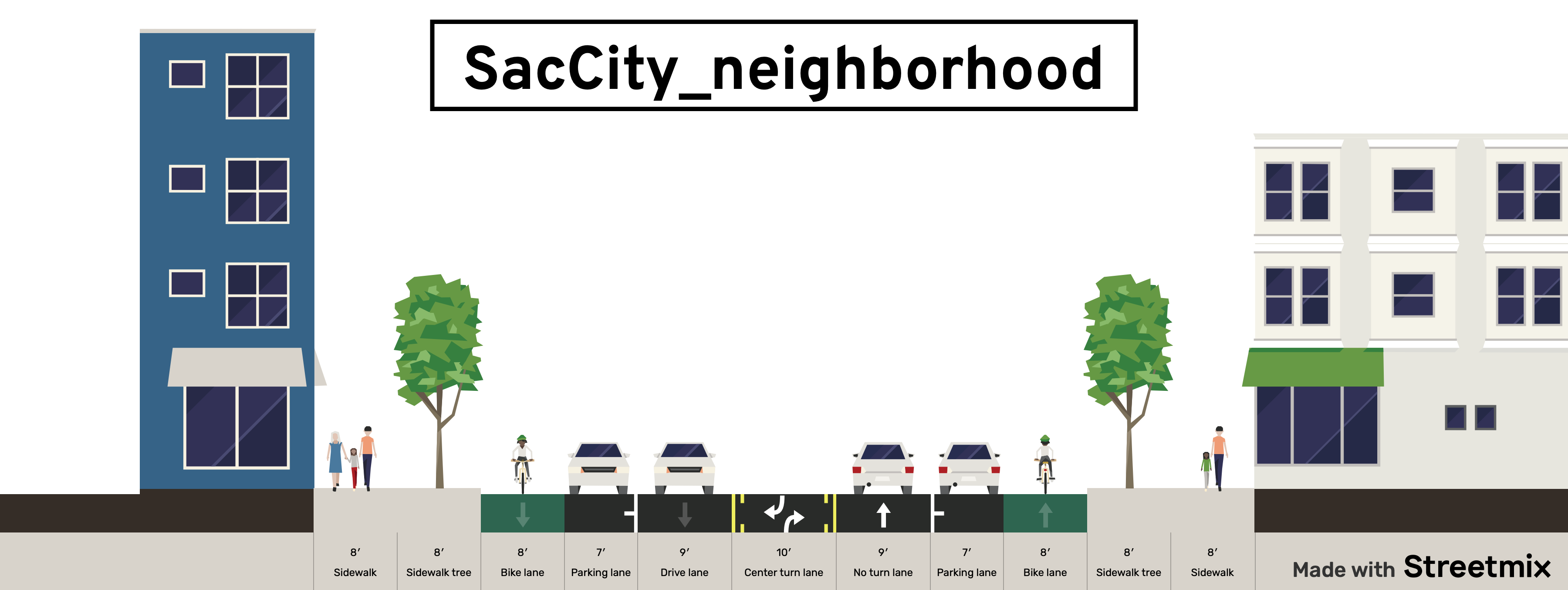
neighborhood: two lanes, regular bike lanes, up to 30 mph; for local and through travel
corridor: two to four lanes, bus lanes, separated bikeways, up to 40 mph; for local and through travel
traditional functional classification system (arterial, collector, local) will not be used; classification into residential, commercial, etc will not be used since all areas may be mixed use
new or reconstructed streets will not be designed for more than two lanes per direction
Policies
All one-way multiple lane streets should be considered for conversion to two-way streets
One-way single lane streets will be considered for narrow right-of-ways widths or where right-of-way is needed for other purposes
Streets which are repaved and re-striped (reallocated) but not reconstructed will include striping that increases safety and reduces speeds
Reconstructed streets will be designed for the level of VMT (vehicle miles traveled) or ADT (average daily traffic) that is desired for safety, livability and economic vitality; the design or posted speed limit prior to reconstruction will not control in any way the new design
Design for reconstructed streets will consider the reduction or consolidation of driveways, and particularly of driveways that are too close to intersections
Driveway width for single family residences will be no more than 10 foot width; driveways for multi-family and commercial areas will be the minimum required by fire agency
Center turn lanes will be used only where frequent turning movements into or out of driveways are expected and accepted; they will not be used to fill excess roadway width
Speed humps or tables on a street generally indicates a failure to design for the desired speed, and will not be used on new or reconstructed streets, and only as a temporary solution on other streets
When streets are re-striped after repaving, but are not reconstructed, the excess lane width will be devoted to other uses or marked off as invalid travel areas
Designs will not include dedicated right hand turn lanes, and will not include multiple left hand turn lanes
Rough pavement surfaces such as brick, cobblestone, or stamped concrete will be considered whenever reduced speeds are desired; however, crosswalks and bike facilities will be smooth
Rolled curbs will not be used on new or reconstructed streets
Streets which are repaved will implement, to the degree possible, the same design as reconstructed streets via right-of-way reallocation and striping
Design diagrams:
NACTO-like diagrams which show the overall design of each street type
One-lane, one-way streets
Woonerfs (shared streets) without curbs and with design elements to ensure speeds of 10 mph or less
Bioswales for management of storm water
The remaining post in this series will be about intersection of neighborhood streets, and corridor streets. Stay tuned!
local or yield street diagram, 58 foot right-of-way width, center lane is bi-directional and narrow, from StreetMixneighborhood street diagram, 90 foot right-of-way width, from StreetMixcorridor street diagram, 90 foot right-of-way width, from StreetMix
Part of an ongoing series of posts to support better streets in the City of Sacramento during their 2023 update of Street Design Standards. New standards must be innovative, safe, and equitable, and it will take strong citizen involvement and advocacy to make them so.
Street design will recognize that on-street parking may have a traffic calming effect, however, this effect will not preclude the use of existing parking for other purposes, including but not limited to wider sidewalks, bicycle facilities, parklets, street dining, bicycle and shared mobility parking, planting strips or parking lane trees, and transit lanes
Where current streets with parallel parking have excess width that encourages speeding, one or both sides of the street should be converted to diagonal parking; new diagonal parking will be back-in
Parking design will offer dedicated loading and delivery zones as needed; and will include time-limited green curb as needed by businesses
Parking spaces will be sized for normal passenger vehicles; oversized width or length vehicles may be restricted to certain spots or areas which are designed for them
Parking areas of streets need not be maintained to the same level as travel lanes
Parking Management
Parking will be managed and priced so as to create about 15% open parking on every block
Free parking will be eliminated throughout the city; where metered parking is not practical, parking permit fees will be set at a level that recovers the complete expense of parking space installation, maintenance and management
▾ Design diagrams:
Parallel marked and unmarked spaces
Diagonal parking (back-in)
Curb and pavement markings for prohibition (red), loading (white), delivery (yellow), and time limited (green) parking
Part of an ongoing series of posts to support better streets in the City of Sacramento during their 2023 update of Street Design Standards. New standards must be innovative, safe, and equitable, and it will take strong citizen involvement and advocacy to make them so.
Signal cycles will be the shortest timing consistent with ample time for walkers to cross
Shorter crossing distances and therefore shorter signal cycles can be created via lane reductions and curb extensions
Signalized intersections will be evaluated for signal elimination and conversion to stop-controlled intersections
Leading pedestrian intervals (LPI) will be installed at all signalized intersections with pedestrian signals; LPIs will be a minimum of three seconds, longer in high pedestrian crossing areas
All pedestrian activation buttons will be removed, or will be converted to audible-only signal activation. Temporary signing will be installed when a button has been deactivated but not yet removed.
I earlier posted on too many traffic signals? in the central city, which should be eliminated in favor of stop controlled or yield controlled intersections.


