Part of an ongoing series of posts to support better streets in the City of Sacramento during their 2023 update of Street Design Standards. New standards must be innovative, safe, and equitable, and it will take strong citizen involvement and advocacy to make them so. See also separated bikeways and bus routes, sidewalk-level bikeways, and bike lane widths.
- Bicycle facilities will be provided within 1/4 mile of every origin/destination
- Regular bike lanes (Class 2) may only be used where design and posted speeds are 30 mph or less
- Separated bikeways (Class 4) will:
- be used for design and posted speeds above 30 mph
- have a minimum width of 8 feet, to accommodate passing and wider devices
- use hard curb protection where parking protection is not available, or parking utilization is low
- Signals
- Bicycle signals will be used as necessary to ensure safe crossing of intersections, appropriate priority for bicyclists, and safe transitions to and from separated bikeways
- Signals at intersections will detect bicyclists in any lane
- Streets that host large volumes of bicyclists in general purpose lanes or bike lanes will have signal timing for a green wave, accommodating bicyclist speeds of 12-15 mph and slowing motor vehicle traffic
- Parking
- Parking for shared mobility devices will be provided in sufficient quantity on wide sidewalks (over 8 feet) or in the street
- On-demand bicycle parking (BikeLink or equivalent) will be provided at locations where bikes are commonly parked for more than two hours
- The city will work closely with transit agencies to ensure that bus stops with significant bicycling first mile/last mile have sufficient bike parking
- Transit
- All bus routes with 30 minute frequency or better will have bus boarding islands with bike lanes or separated bikeways passing behind the island; shared bus/bike lanes will only be used to distances of not more than one block, in order to solve right-of-way issues
- Streets that provide long distance travel on with low volume and low speed motor vehicle traffic will be designated as bike boulevards, with appropriate marking, signing, and traffic calming treatment
- Shared mobility will be managed and/or owned by the city or transit agency with sufficient control to ensure social and transportation objectives, and stability
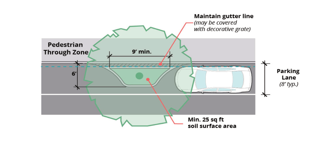
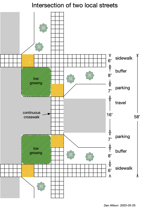
Design diagrams will include:
- Bike lanes (Class 2)
- Separated bikeways (Class 4)
- Bike boulevards
- Contra-flow and two-way cycletracks, for use where safe bicycle facilities are not
- available on an immediately parallel street
- Sidewalk level bike facilities
- Bicycle signal faces
- Bicycle detection at signalized intersections
- bus boarding islands