Where the Streets Have No Name, U2, 1987
The City of Sacramento has a GIS database of sidewalks, but has not made it available to the public. The Sacramento Active Transportation Commission has requested that the data be made public. A number of active transportation advocates have requested that it be made public. The response is usually vague, but includes the excuses: the quality of the data is too low to make public; it is incomplete, as some streets were never surveyed; it was developed by the consultants and the city doesn’t have permission to publish.
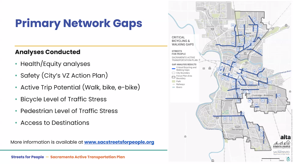
It was shared in Streets for All Active Transportation Plan (Appendix 2, Gap Analysis, page 13). But this is a screen capture of a map, and can’t be zoomed in for detail. (pdf)

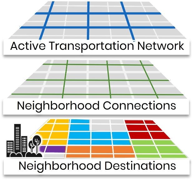
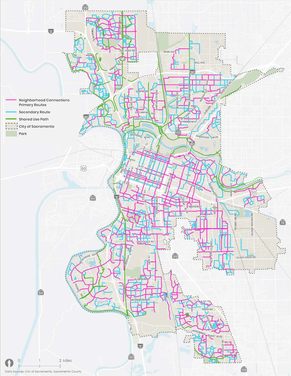
The Neighborhood Connections Network Map probably has sidewalk information, and can be zoomed in, but it shows only recommended improvements to create a network, not sidewalk details, and a legend is lacking, so it is not possible to say for certain what the lines indicate. It may be the same information as the Neighborhood Connections Network map that is in the Neighborhood Connections Existing Conditions appendix. (pdf) This map does have a legend, but can’t be zoomed.
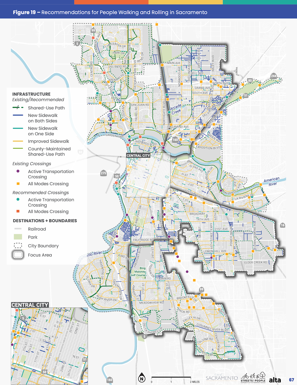
The final Streets For People Active Transportation Plan includes the ‘Recommendations for People Walking and Rolling in Sacramento map on page 67 (pdf), but again, it can’t be zoomed in, and includes recommendations, not existing sidewalk conditions. One could assume that the New Sidewalk on Both Sides indicates that there is no existing sidewalk, and New Sidewalk on One Side indicates that a sidewalk exists on the other side, but not both sides. The plan contains six detailed maps, so it is easy to pick out streets, but again, no information about existing.
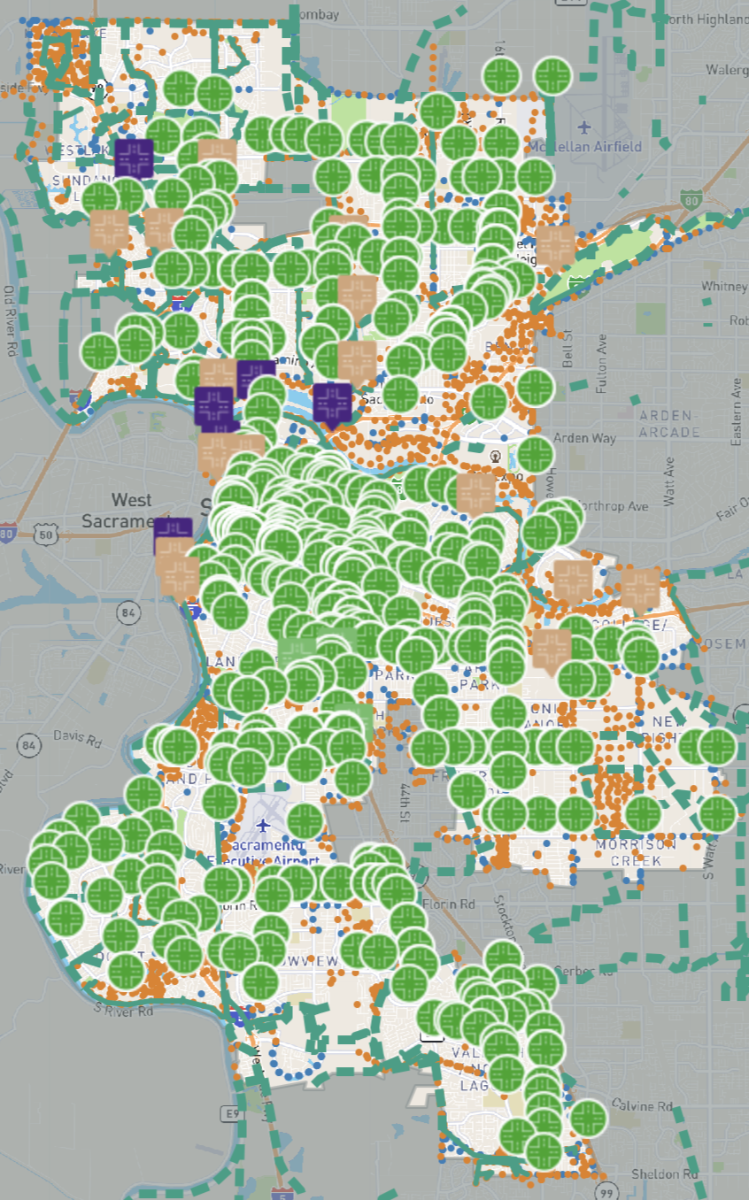
There is also a recommendations map that was part of public outreach in developing the plan, the Streets for People Draft Network Recommendations. It can be zoomed in, but it is not clear whether the street designations came from the city, or the public, or both.
All of this uncertainty could be resolved if the city would post the data to its GIS (Geographic Information Systems) portal. If the data needs a disclaimer, this is easy to include.