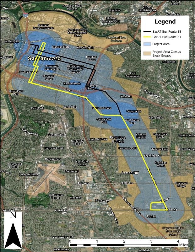
And yet another City of Sacramento planning effort, the Stockton Boulevard Safety and Transit Enhancement Project. This is a Vision Zero project. Two segments are on the Vision Zero High Injury Network Top 5, Broadway and Stockton (Broadway between Martin Luther King Blvd and Stockton Blvd, and Stockton Blvd between Broadway and 13th Street), and Stockton Blvd South (Stockton between 65th Street and 37th Avenue). However, the project includes the entire route of SacRT 51, from downtown, along 8th and 9th Streets, Broadway, and Stockton as far as Florin Road. It is also a transit project, to enhance bus service along the Stockton part of Route 51, in particular.
Stockton has long been a focus for the city, and county, with many plans developed but none implemented. The current effort is a revision of those efforts to emphasize a potential Bus Rapid Transit (BRT) service along Stockton Blvd, and perhaps some enhancements to the other sections.
A community workshop was held this week at the Southgate Library, with city staff, consultants, and county staff present. Some issues that came up during the workshop include:
- ridership on bus 51 drops off sharply south of Fruitridge Road, so investment should be focused on the section of Stockton between Broadway and Fruitridge; the nature of the neighborhoods north and south of Fruitridge are quite different, with south being significantly more car-dominated, and so less likely to generate ridership
- sloped driveway ramps, common along Stockton, must be repaired so that they are compliant with PROWAG; provision of sidewalk buffers which contain the sloped driveways are the optimal solution
- earlier outreach for Stockton, and every project the city has planned, surfaced a strong community desire for more street trees; healthy street trees need wide sidewalk buffers (the city calls them planting strips) of 8 feet; tiny sidewalk buffers lead to unhealthy trees and root heaves of the sidewalks
- additional housing going in right now on Stockton, particularly around 8th to 10th Avenues, will generate a lot of walking, and the sidewalks there need to be improved and widened, not in the future, but now
- several of the design concepts show a center turn lane throughout the project; in most sections, these are a waste of valuable roadway right-of-way; instead, left turn pockets should be provided where clearly needed
- businesses have concerns about unhoused people using bus shelters and shelter, and crossing Stockton at random places
- though rail is not being proposed for Stockton, the BRT design should not preclude rail being added at a later time as adjacent density and high ridership develop to justify an investment in rail
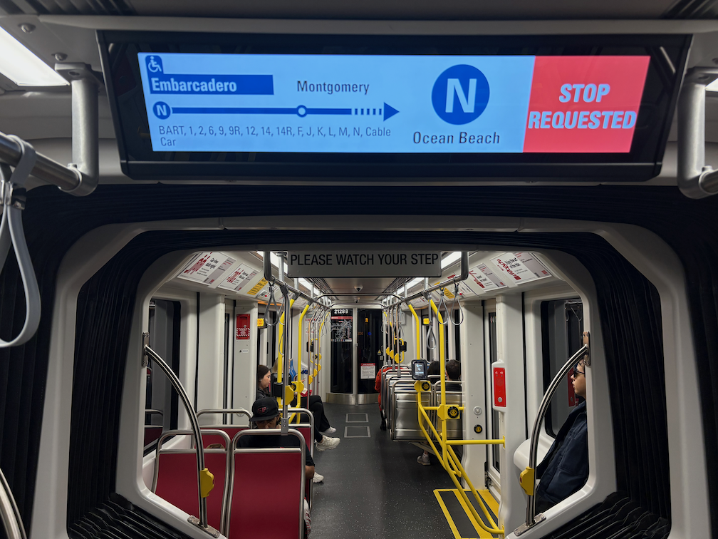
The project is also considering changing SacRT Route 51 so that it runs on Stockton from Broadway to Alhambra, and thence on surface streets to downtown. This section of Stockton has a narrower right-of-way, but it also hosts UC Davis Medical Center which could be a major generator of ridership for the bus. The existing Broadway Complete Streets project, and the additional segments from 24th Street to Stockton, have designs with a single general purpose lane in each direction and a center turn lane, which is not a good setting for BRT. The map below shows this option. If SacRT Route 51 was re-routed, there would need to be additional bus service along Broadway, since it is a high transit use corridor.
City and county staff, and consultants, seem to be supportive of a transformed Stockton Blvd, which will effectively serve transit riders, bicyclists, and walkers (and rollers). But there is likely to be pushback from the car-centric people who drive through on their way somewhere else, and who feel that time saving is more important than safety. It will take concerted effort to ensure a strong project.