Due to a miscommunication with a person who gave me a ride from the end of my backpack trip in Foresthill, I ended up in the Galleria part of Roseville yesterday instead of old downtown, which was what I intended. What a hellscape!
Roseville Transit does not run on Sunday, or course not, why would a transit system serve people on Sunday? So there is no way to get from the Galleria area to any place else in Roseville, or to any place else in the world.
Being stubborn, I decided I needed to walk to the closest transit, which is the Louis/Orlando Transit Center just off Auburn Blvd/Riverside Drive in Citrus Heights. On my three mile walk between the Galleria area and old downtown Roseville, I saw two bicyclists and one walker. And thousands of cars, most of them high end SUVs (pedestrian killers). Galleria Blvd has sidewalks in some places, but rarely on both sides, so you have to cross back and forth. No warning ahead, no crosswalks, just cross when you come to the end.
If you wonder what people were doing on the Memorial Day weekend, they were shopping. And shopping. And shopping. Though there is a Roseville Transit line that serves the main mall area, Monday-Saturday, it is almost not possible to walk to or from there. Sidewalks come and go, and with all the freeway onramps and off-ramps surrounding, it does not feel safe to walk. Once on the mall property, there are no sidewalks, just the ones around the buildings.
If you want to see how bad the Galleria part of Roseville is, take a look at Google: https://goo.gl/maps/jGX7BrAJFyDUrwja9/. Follow a piece of sidewalk to see how far it goes, whether it actually connects to anything. Remember that the mall area itself is much more pedestrian friendly that any of the surrounding shopping areas.
I thought, well at least things will be better when I get to old downtown Roseville. In some ways, yes. It is not a place designed for the exclusive needs of cars. There are actual locally owned businesses instead of national chains. There are places to eat, drink, shop. But… it was late Sunday afternoon and the sidewalks had been rolled up. It is hard for local business to compete with the huge subsidies that the national chains and malls get. All that car infrastructure that supports the mall, the six to ten lane roadways, the freeways and interchanges, that all was paid for by you, not by the developers, and that is money out of not just your pocket, but the the pockets of local business owners trying to compete.
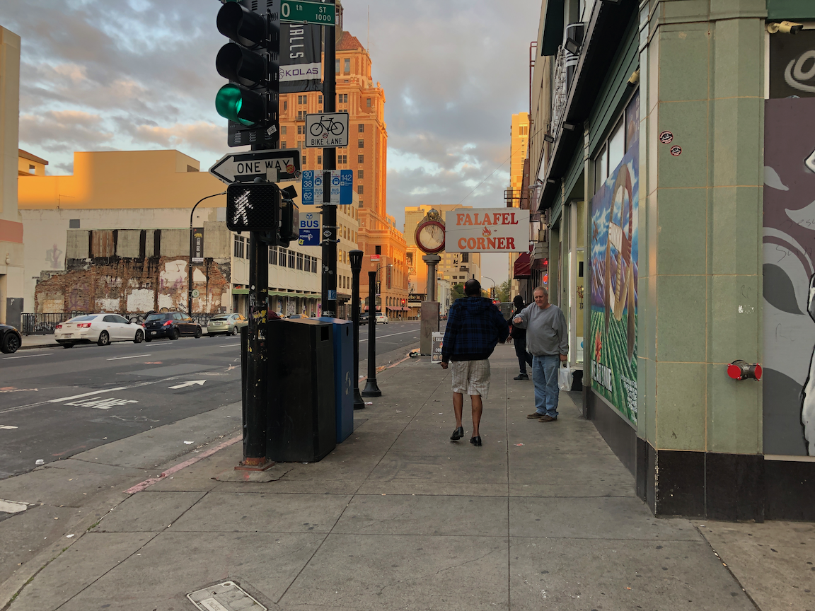
On to the transit center, at least some of the walk through quiet OLD residential neighborhoods, the original part of Roseville. Thankfully, SacRT saved the day, bus and then light rail, to home. Of course service is less frequent on Sunday, and other than light rail, it doesn’t run late, but it runs! It is a lifeline for people who can’t drive, who don’t want to drive, who don’t want to be a part of car-centric hell places like Roseville.
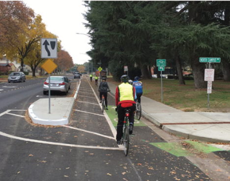
I was walking, not bicycling, but of course was also looking at bicycle facilities. There are bike lanes on most of the stroads in Roseville. And what welcoming bike lanes they are! The photo below is of the dashed bike lane on Galleria Blvd northbound, approaching Hwy 65. It runs for 900 feet! Between high speed traffic on the left and high speed traffic on the right (40 mph posted means the minimum speed, not the maximum, most drivers are going about 55). The right hand lane is the freeway access lane, so drivers are accelerating towards the entry, hoping to catch a green light and squeal tires onto the onramp. Yes, this is the behavior I observed. Roseville seems to be of the impression that painting lines on the roadway for bicyclists is all it takes, that and nothing more.

The one good thing about being in Roseville is that it reminds me of how lucky, and how privileged, I am to live in Sacramento central city.