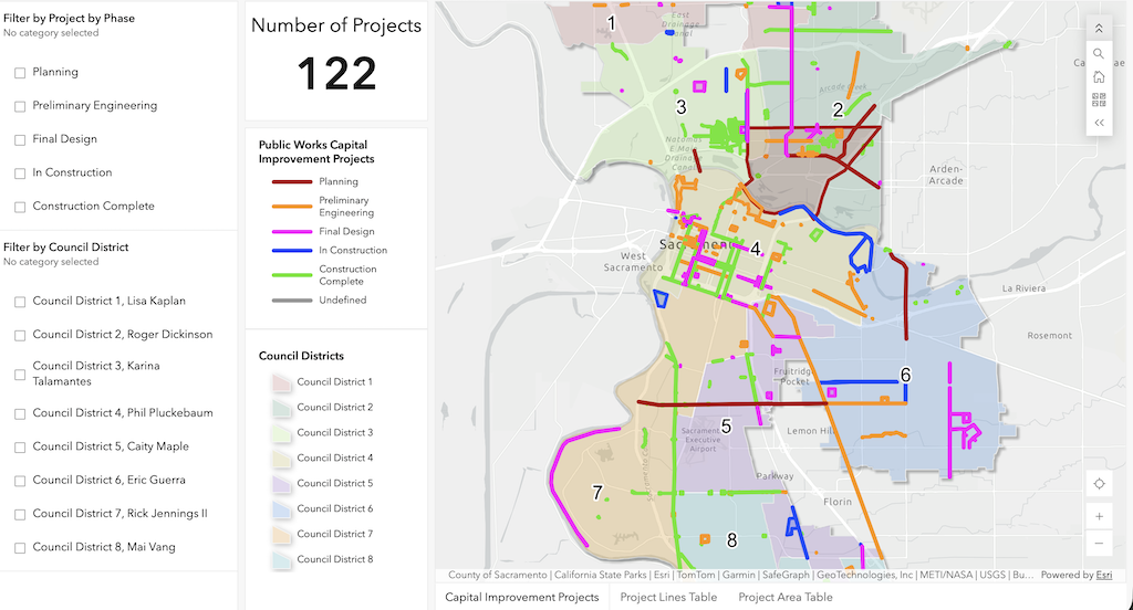
The City of Sacramento, Department of Public Works, has an map or dashboard of transportation projects available online, Public Works Transportation Projects. You can select by project phase (planning, preliminary engineering, final design, in construction, and construction complete), and by council district. You can zoom in or out on the map.
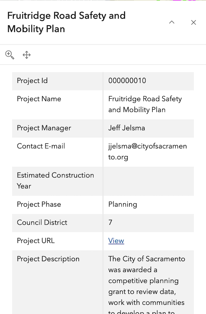
Clicking on a project line or point opens a popup with details. Some of the data seems a little out of date for Project Manager and project phase, but this is nevertheless the best source of information on projects that I am aware of.
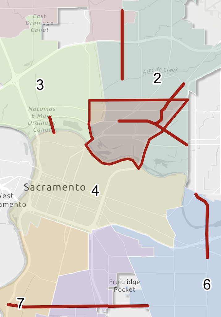
For transportation advocates, selecting planning will probably be of the most interest. Once a project is past the planning stage, it is unlikely that it can be improved by community input.
Sacramento County does not seem to have an equivalent map/dashboard, but it does have a project page.
Citrus Heights has a Multimodal Transportation Safety Plan (MMTSP) map that is similar, though focus on response to community complaints about particular locations, rather than large projects.
Folsom does not seem to have an equivalent map/dashboard.
Rancho Cordova has a robust set of GIS data, but does not seem to have an equivalent map/dashboard.
Elk Grove has a robust set of GIS data. It has a CIP (capital improvement program) map, which may contain similar information, but does not seem to be working at this time.


Hello Dan: I continue to greatly appreciate your blog. I’m wondering if you have any comment on what has happened recently in the 26th St underpass of the W/X freeway. The pavement was recently resurfaced and more recently a new centerline and vehicle stop lines were painted, but no bike-protection features were added. It continues to be a very worrisome segment to traverse on a bike (or even as pedestrian) between relatively comfortable neighborhood streets on both sides. Lighting is non existent and it is very difficult to see obstacles that may be lying on the pavement. It is likely difficult for vehicle operators to see bike riders. Vehicles are operated in a freeway-and-frontage road mind set of high speed and impatience.
It is likely that many of the freeway underpasses in Sacramento have such conditions. Is any effort underway or contemplated to improve them for bike riders?
Thanks for all your efforts, Jordan Lang
LikeLike
I am pretty sure that this work is Caltrans, part of the Fix50 project. We know that Caltrans doesn’t give a shit about bicyclists or walkers, and would never add protection unless forced. The lack of lighting was intentional, probably to save a few dollars. For most of the Hwy50 under crossings, not only was lighting not added, to compensate for the reduced daylight, but existing lights were disabled. Caltrans was aware of the issue and decided to do nothing about it.
If the governor and California Transportation Commission won’t control Caltrans and hold them to account, which is true, I’m not sure what the public can do. You are right to be angry.
LikeLike