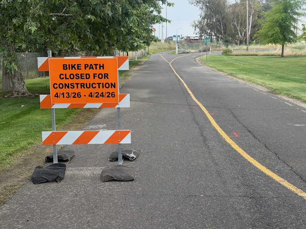
The Yolo causeway bike path will close for a week and a half starting Monday April 13 (tomorrow). The part that will close is actually very short, from the path rest area in West Sacramento to the beginning of the causeway bridge, but since there is no alternative route, the entire distance from West Sac to Davis is closed.
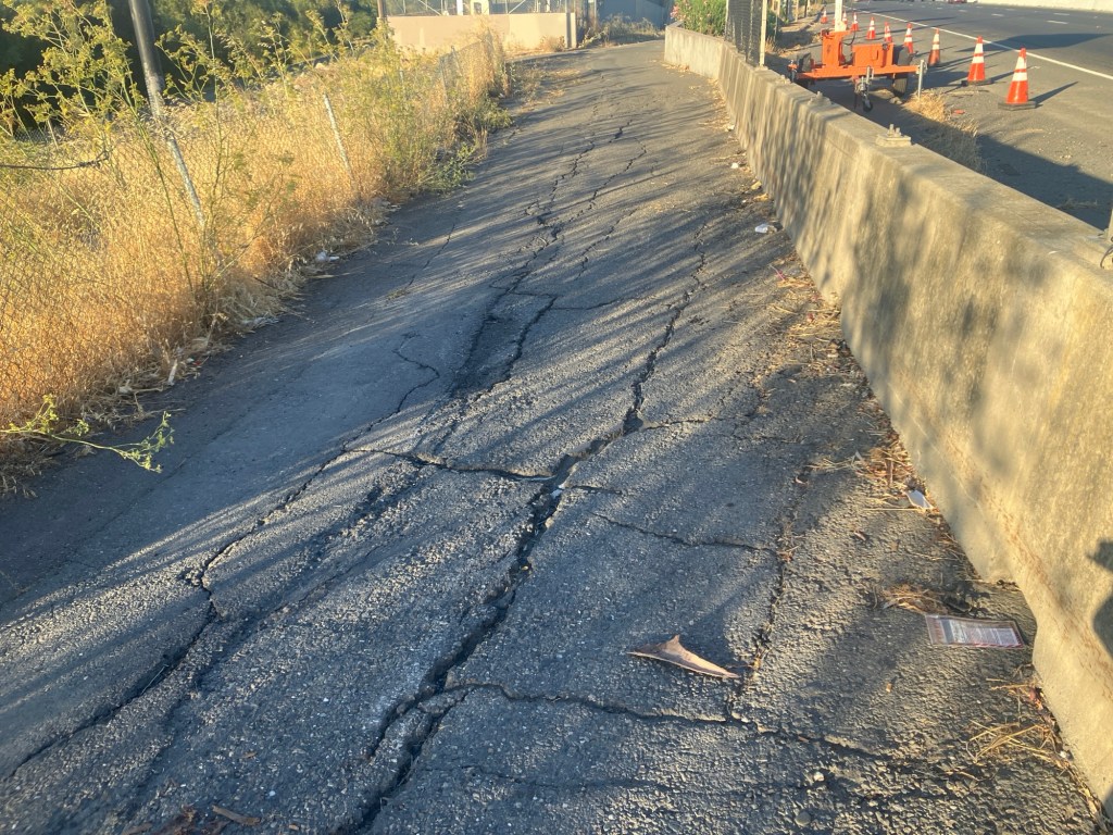
Presumably the closure will be to improve or replace the section of very deteriorated path as it ramps up to bridge level. This is a good thing. The problem is that most users of the path would have no way of knowing beforehand. It is not signed where the path departs West Capitol Avenue westbound, nor is it signed where the path departs County Road 32A eastbound.
The west end has been improved. Rather than turning on to the levee, it follows the off-ramp from the freeway, protected from motor vehicles by concrete barrier ( sometimes called K-rail or Jersey barrier, but it isn’t clear if this is the term for permanent barriers). However, the junction with County Road 32A is not complete, and may have safety issues.
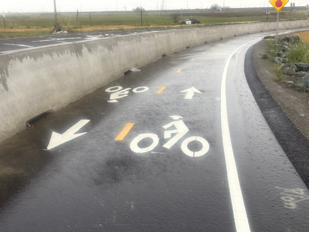
The drainage problems on the causeway portion of the path have not been solved, so there will be extensive puddles after rain, as yesterday. The path continues to collect debris from the highway, car and truck parts and trash. Caltrans passed on the opportunity to provide path lighting, even though electric was embedded in the new barrier. And of course noise from the highway is oppressive. As with all Caltrans projects, two steps forward and one step back.
