Update: I was incorrect that a ban citywide would not require signing. See below for more information. Thank you, Matt, for the heads up.
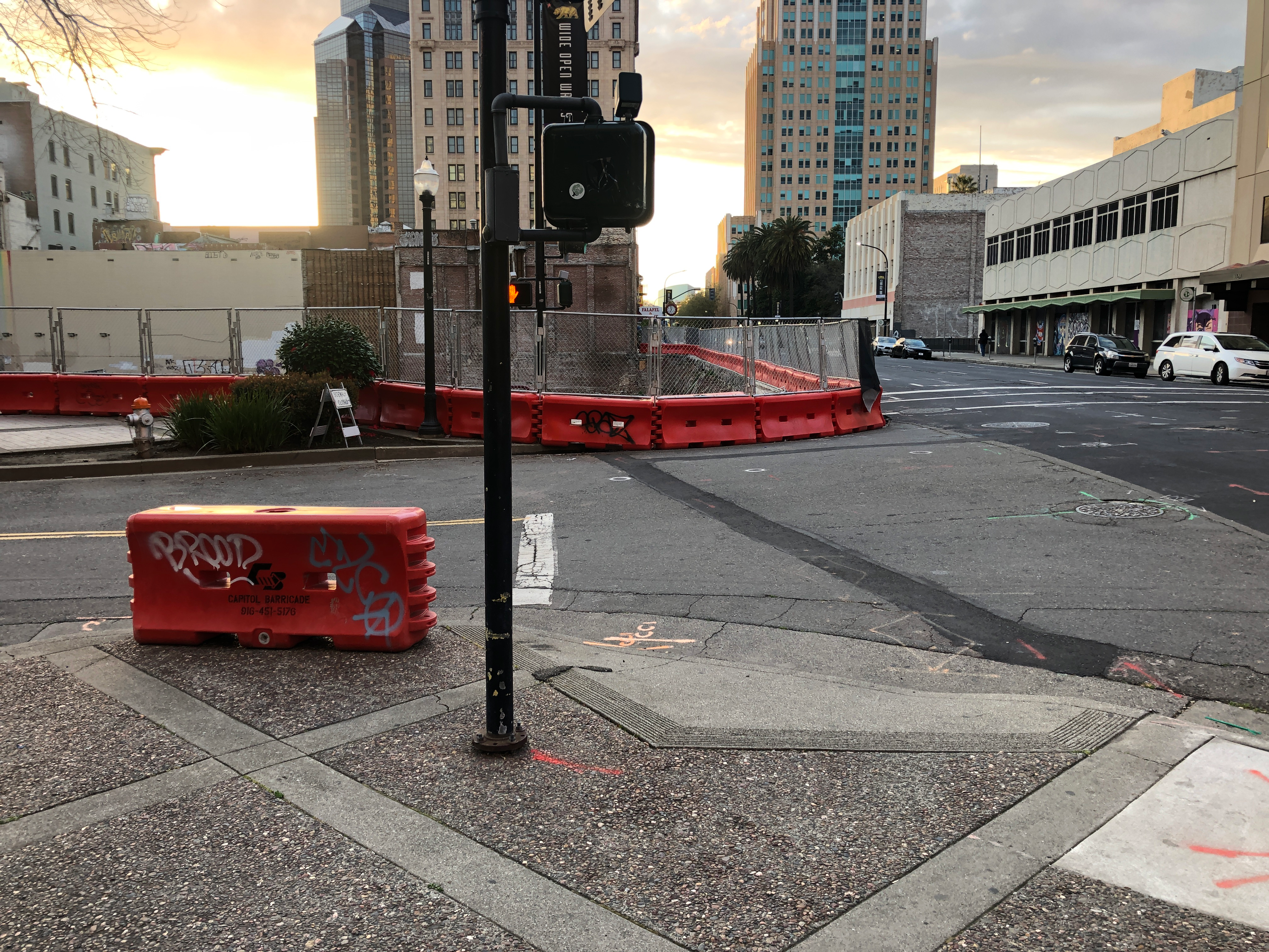
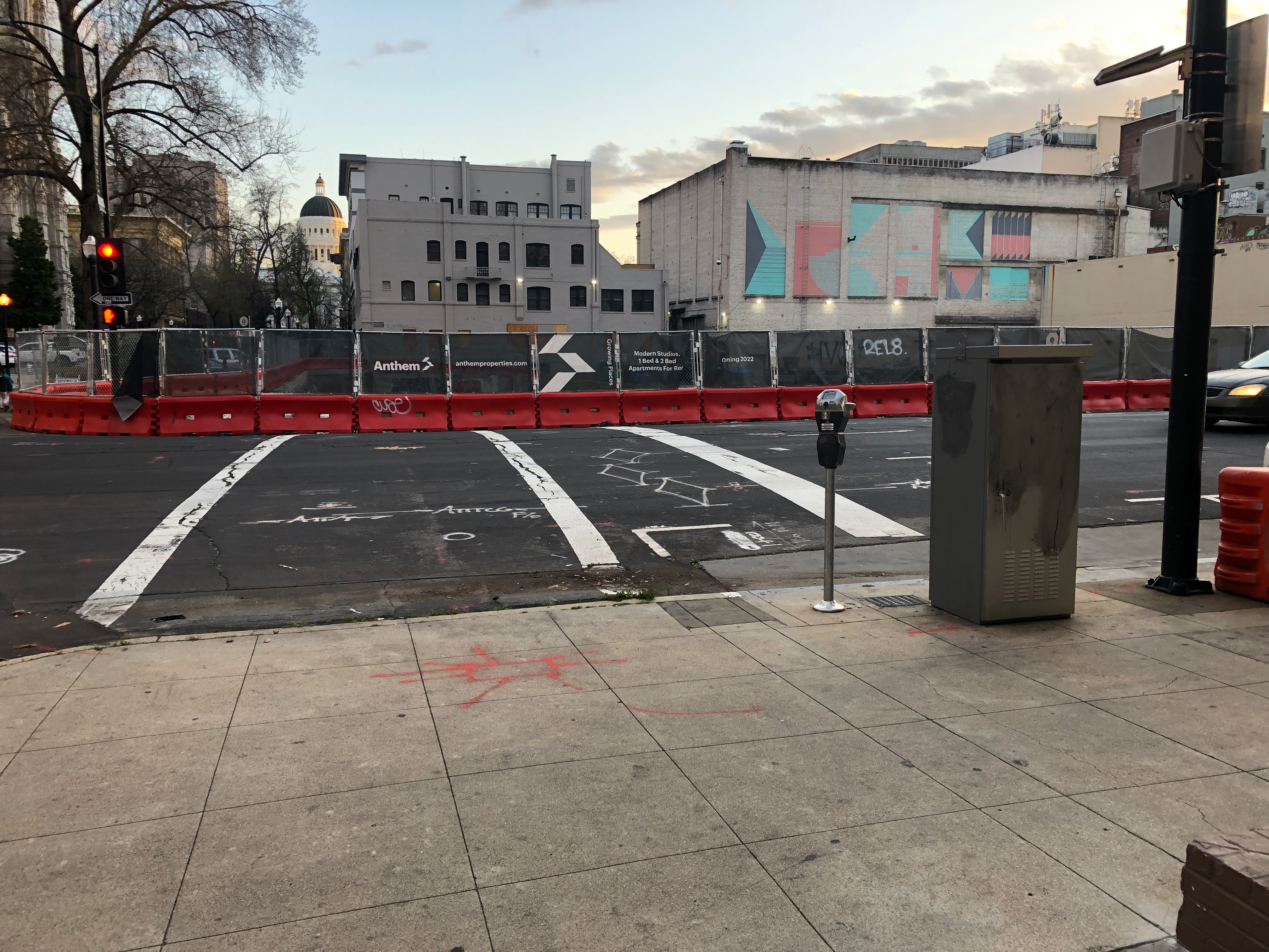
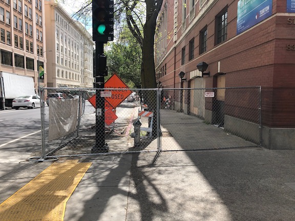
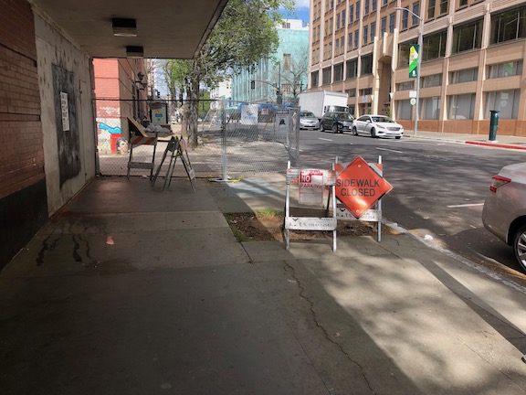
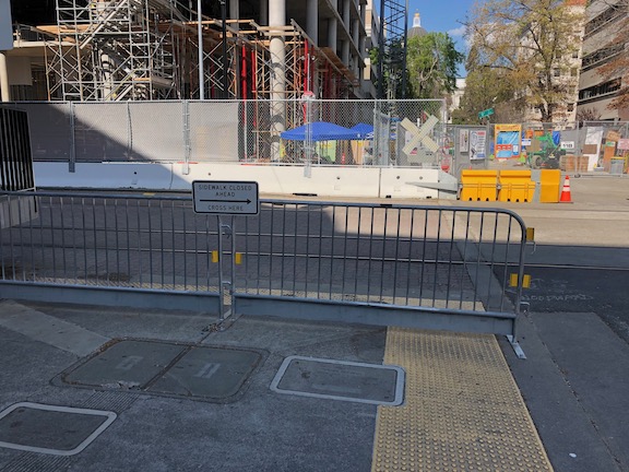
Many places throughout the United States are considering banning turns on red signals. Permitting turns on red was a fuel-saving practice implemented in the 1970s, though there is little evidence it actually saved fuel. There is considerable evidence that it decreases safety for walkers and bicyclists, and perhaps motor vehicle drivers and passengers. Though turns on red signals are not the greatest danger walkers and bicyclists face, banning the practice would have safety benefits. It is a partial protection against oversized SUVs and trucks, which have large blind zones that contribute to striking walkers and bicyclists. Though people think of this as no-right-turn-on-red, in Sacramento central city with its overabundance of one-way streets, it may also be no-left-turn-on red.
San Francisco is considering an expansion of its no-turn-on red zones from the Tenderloin, where it has increased safety and calming traffic, to more of the downtown area. Washington DC has banned turn-on-red, though it doesn’t take effect until next year. Chicago and Seattle have considered bans.
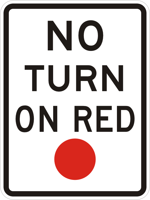
The signs used to indicate no turn on red are:


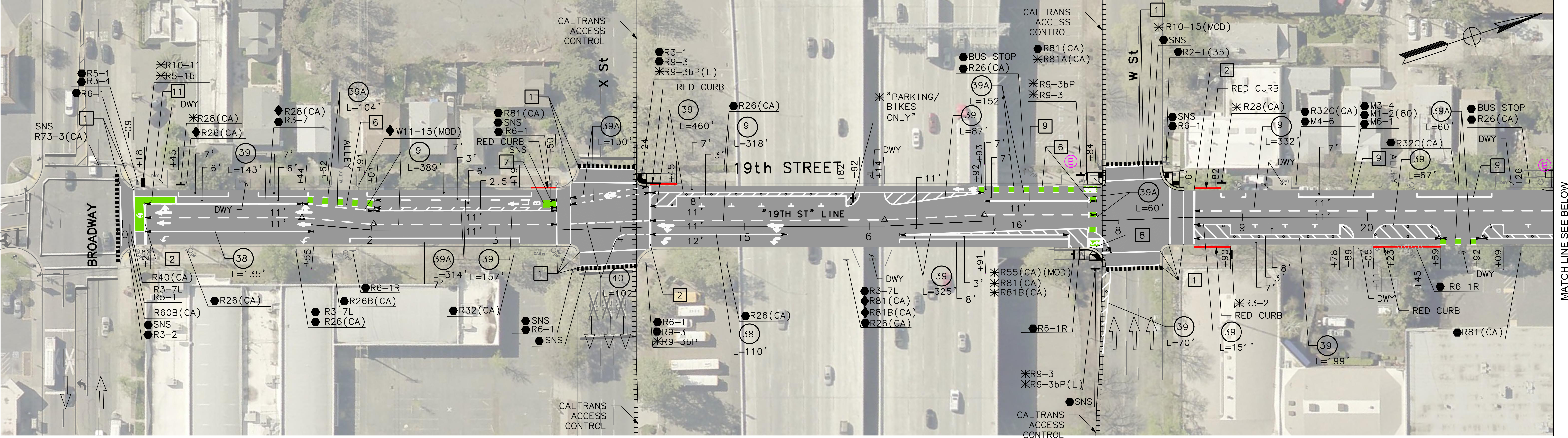
How should the City of Sacramento, and the rest of the counties and cities in the region respond? The options are:
- ban citywide: Turns on red would be illegal throughout the city (or county). The advantage is that no signing would be needed since it would apply to all signalized intersections. However, this may not have as great a safety benefit as a more targeted approach.
- ban at locations of crashes involving turning vehicles: This is a no-brainer. Turn on red should be banned at any intersection where there is a history of crashes caused by vehicles turning on red. This should be city policy, to install signs at any location where SWITRS indicates there is an issue, or immediately after any crash.
- ban at intersections with a high walker count: This is probably the most beneficial for safety. The problem is that the city does not collect data on the number of walkers using crosswalks (marked or unmarked), so it would not know where to start. The lack of data collection is a failure on the part of the city, but it is nevertheless a fact.
- ban at separated bikeway locations: A ban at the intersections with separated bikeways (also called protected bike lanes, parking-protected bikeways, or cycletracks) would protect bicyclists and give them a head start over motor vehicles. Leading pedestrian intervals (LPIs), which bicyclists can also use, can offer even better protection.
I have resisted turn-on-red bans in the past because I thought they had a lower safety benefit than many other measures that could be taken, but traffic violence has become such an issue that any action to reduce death and injury for walkers and bicyclists may be worth taking, and taking now.
As an alternative to bans, yield-to-pedestrians (and bicyclists) signs can also be installed. Two versions are shown below, on the left, the approved MUTCD R10-15R sign, and on the right, the bicyclist and pedestrian version with interim approval in California, and in use in many locations. My observation is that these signs are widely ignored by drivers, but of course, they do help those drivers who are willing to follow the law.


California Vehicle Code (CVC) 21453
CVC 21453:
https://leginfo.legislature.ca.gov/faces/codes_displaySection.xhtml?lawCode=VEH§ionNum=21453.
(a) A driver facing a steady circular red signal alone shall stop at a marked limit line, but if none, before entering the crosswalk on the near side of the intersection or, if none, then before entering the intersection, and shall remain stopped until an indication to proceed is shown, except as provided in subdivision (b).
(b) Except when a sign is in place prohibiting a turn, a driver, after stopping as required by subdivision (a), facing a steady circular red signal, may turn right, or turn left from a one-way street onto a one-way street. A driver making that turn shall yield the right-of-way to pedestrians lawfully within an adjacent crosswalk and to any vehicle that has approached or is approaching so closely as to constitute an immediate hazard to the driver, and shall continue to yield the right-of-way to that vehicle until the driver can proceed with reasonable safety.
(c) A driver facing a steady red arrow signal shall not enter the intersection to make the movement indicated by the arrow and, unless entering the intersection to make a movement permitted by another signal, shall stop at a clearly marked limit line, but if none, before entering the crosswalk on the near side of the intersection, or if none, then before entering the intersection, and shall remain stopped until an indication permitting movement is shown.
Under section (b), signs are required, even if the ban is citywide. Section (c) does allow use of red arrows, but the red arrow signal would be more expensive than a sign, so only used in a few situations. The blank-out sign, shown above in the set of three, is probably the most effective, but again, more expensive that a regular sign.