From the City of Sacramento Missing Middle Housing Project page:
“Missing Middle Housing (MMH) is a range of small multi-unit housing types that are similar in scale to a single-family house and are often found in walkable areas. This study focuses on duplexes, triplexes, fourplexes, ADUs, and bungalow courts. MMH types are ‘middle’ in form and scale between that of small single-family houses and larger apartment buildings, enabling them to blend into existing residential neighborhoods. With smaller units, MMH can provide housing at price points attainable to many middle-income households.”
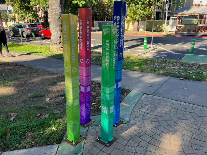
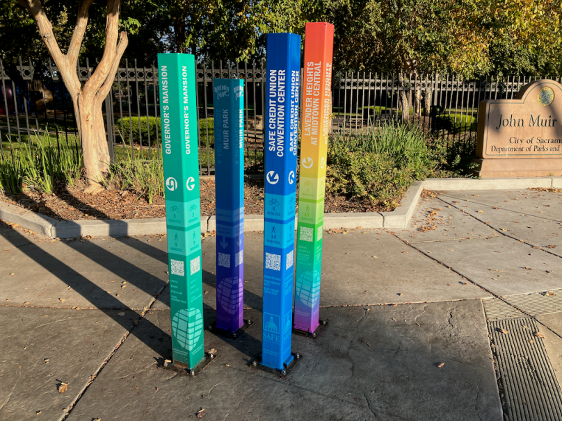
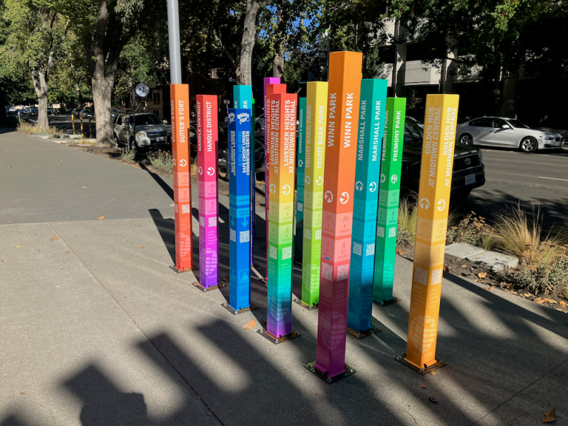
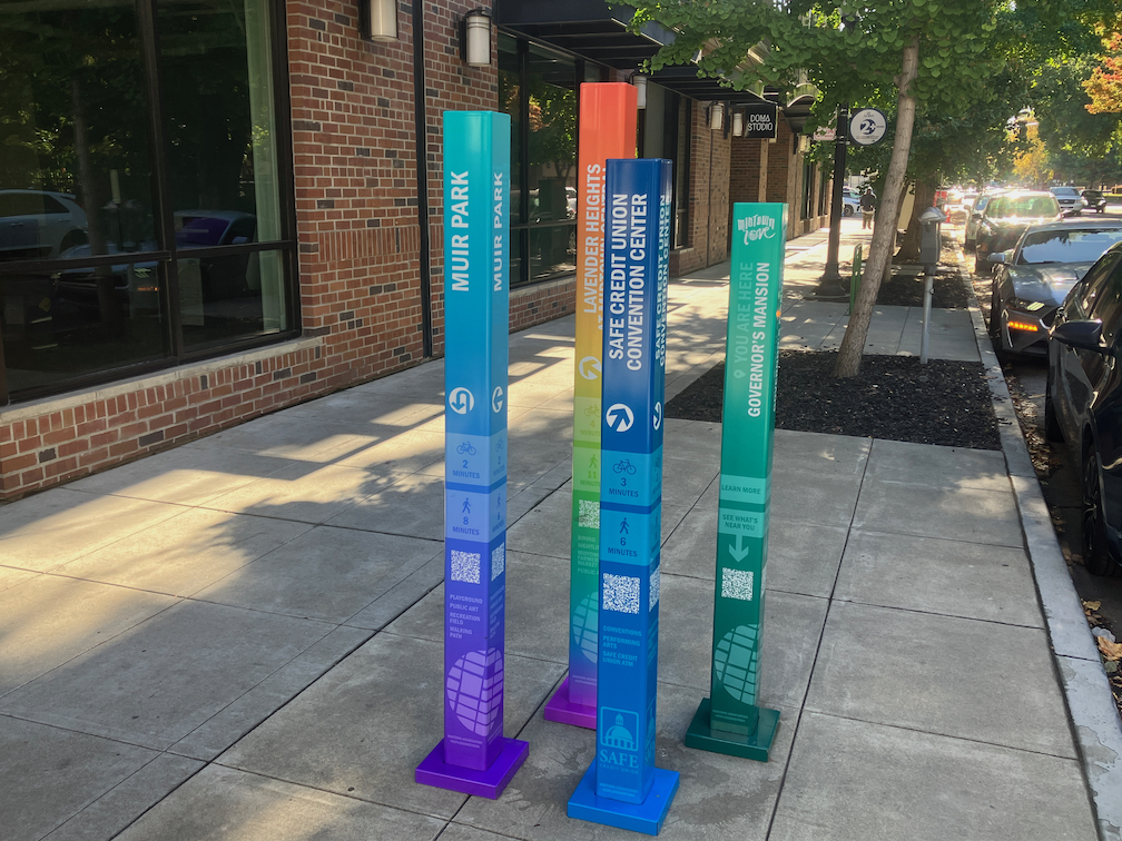
If you would like to see what missing middle housing looks like, head to midtown Sacramento, where missing middle is mostly NOT missing. Midtown has a mix of building uses and housing types. There are corner grocery stores, single family houses, bungalow courts (cottage court, in the MMH documents), multi-unit apartments, and large apartment buildings, with clusters of commercial areas hosted small locally owned businesses.
Midtown was created before the city decided (along with most governments) that uses should be far separated, jobs downtown and housing in the far suburbs. It prohibited most of the kinds of buildings that exist today in midtown. Some of this was through exclusionary zoning, and some through parking mandates that made affordable housing almost impossible. Most, though not all, of midtown escaped the city and state’s urban renewal travesty of the 1960s and 1970s. The city and state replaced missing middle, and lower income, housing, and the people who lived there, with state buildings and parking lots throughout downtown Sacramento (west of 15th Street). But the urban renewal project had just bitten into the edge of midtown, to 17th Street, before urban renewal was stopped, and the housing that had been purchased and not yet torn down was transferred to Capitol Area Development Agency (CADA). And parking mandates were removed from the central city (midtown and downtown).
The Missing Middle Housing Project will become part of the 2020 General Plan update. Four reports will be produced, and the first two are done: MMH Informational Report, and MMH Attainability & Livability Analysis. The analysis was the topic in front of the city council on October 24. All the public comments were in favor of the concept, and requested strengthening the project by removing some of the remnants of the old zoning regime such as tiers matching existing zoning patterns, and unnecessary dwelling unit limits. Floor area ratio (FAR) should be the only built environment limit. The council was also very much in favor of a stronger program, and clearly favored removal of dwelling unit limits. All the attendees were pleased at the support of the council for a strong MMH plan.
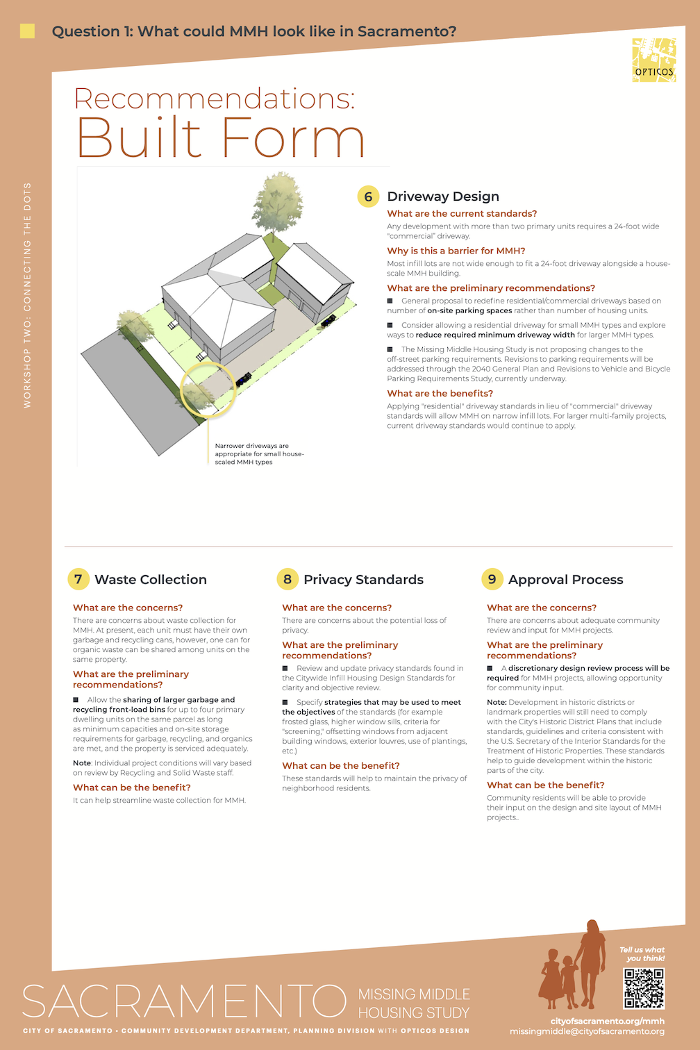
My point of concern was recommendation 9, Approval Process – “A discretionary design review process will be required for MMH projects, allowing opportunity for community input.” in the staff presentation. This page is below, and pdf. This type of community review, where NIMBYs are able to kill housing of any density greater than current density, and housing for people of color and lower income, is what got us into this fix to begin with, it is largely the reason missing middle housing is missing. It included in the final proposal, this one item could potentially kill any new housing, by allowing the same exclusionary policies to continue.
City staff tried to clarify that design review would be by city staff, and not public hearings, but that is not what the text says. It says ‘community input’. I’m certainly not opposed to community input, but it should be up front, at the level of policy review, and not review of individual projects. Review of individual projects would force middle housing to continue to be missing.