housing grants and transportation

The Strategic Growth Council has awarded $808M in grants for affordable housing in the sixth round of the Affordable Housing and Sustainable Communities program.

Streetsblog Cal covered one of the two in the Sacramento region:

“In Yuba City in Northern California, Richland Village, also awarded $30 million, will build 176 units in a net-zero-energy project that includes electric vehicle charging, as well as a transit center hub nearby with an electric bus charging system. It will also add sidewalks, bike lanes, new crosswalks, traffic calming measures, and pedestrian-level lighting. The award will also help fund workforce development programs, multi-lingual legal counseling services, and transit passes for residents.”

The other project is On Broadway Apartments in Sacramento at Broadway and 19th St, with 138 units of income restricted housing. This is two blocks from the Broadway light rail station and along SacRT bus route 51. I could not find any articles that are not firewalled, but here are two you may want to read: https://www.sacbee.com/news/local/article242715176.html and https://www.bizjournals.com/sacramento/news/2020/05/14/broadway-proposal-would-add-150-affordable-apartme.html.

Sac Transportation & Climate Workshop

The first City of Sacramento Transportation & Climate Workshop was held last night as part of the regular city council meeting. The first news, which was not at all clear before, is that this is the first of several workshops, which will develop the plan further. The next workshop has not been scheduled, but may be in March.

screen capture from city presentation

Some highlights:

  • No one spoke against the seven big idea projects.
  • People liked the enhanced bus lane on Stockton for SacRT route 51, but it didn’t receive much notice in the discussion.
  • Nailah Pope-Harden of Climate Plan and a local activist, said bold is the minimum, and said all projects should be about reconnecting communities. Many other speakers referred back to Nailah’s challenge.
  • The opening slide of the city presentation showed SacRT bus route 30 on J Street, pulled out of traffic and blocking the bike lane. Irony probably unintentional, but it does illustrate one of the ways in which the city does not support transit or bicycling. The bus should not be pulling out of traffic, but stopping at a bus boarding island with the separated bikeway running behind it.
  • Sam Zimbabwe of Seattle DOT presented on the ways in which the city has shifted mode share to transit with projects and priorities. One of his slides showed the huge increase in the number of intersections at which they have programmed leading pedestrian intervals (LPIs) to enhance pedestrian safety.
  • Jeff Tumlin of San Francisco MTA said they have realized that waiting for a few big projects is an ineffective approach, and are now doing many small projects, often with temporary measures that can be improved when made permanent. He said that sales taxes don’t have to be regressive, if the benefits are directed to the right places and projects, and that well-designed congestion pricing is not regressive. He also suggested that city staff should be challenged to a higher level of productivity and innovation, and let go if they choose not to meet that. He also spoke about SFMTA’s approach, with partners, of working on transportation and housing as a unified goal, not siloed.
  • Darrell Steinberg mentioned several times the idea of the city doing a transportation ballot measure so that it could set its own priorities for investment rather than compromising with the county (SacTA) over projects which don’t meet the needs of the city.
  • City staff said transportation is now 56% of carbon emissions in the city, which is higher than numbers reported before.
  • Ryan Moore poo-poo’d the idea of lowering speed limits, saying the MUTCD prevents that, without mentioning the state law which allows reductions in specific circumstances. Others pushed back on this.
  • Rick Jennings spoke enthusiastically about getting more kids on bikes and his own experience of bicycling with kids.
  • Jeff Harris spoke about EVs, despite the setup of the workshop being about other transportation ideas, not EVs.
  • Mai Vang pointed out that the ideas are too District 4 (central city) focused, believes that there should be more focus on low-income and outlying areas. She said we need better access to light rail stations, not just bicycling access to downtown.
  • Civic Thread spoke (all their employees!) about the need for a city-wide Safe Routes to School program to address the recent parent death at school dismissal at Hearst Elementary, as well as safety needs at every school. They also highlighted equity and community access.
  • Henry Li and Jeff Harris pointed to micro-transit (SmaRT Ride) as being a great success, but SacRT has still not provided information to the community to judge that.
  • Henry Li spoke mostly about funding, and did not address the Stockton/Route 51 project. He again highlighted light rail to the airport, despite the transit advocacy community’s request that all light rail extensions including ARC/Citrus Heights/Roseville considered before selecting the next project.

The message from the invited speakers and the community was clear: we need to make big changes in a hurry, and city funding and commitment will be necessary for that to happen. How will the city respond?

What are your highlights from the workshop?

screen capture of Seattle DOT slide on speed limits and LPIs

WA Transportation Bill of Rights

The Washington state organization named Front and Centered promotes a program called Just Transition in Transportation, along with many partners including Disability Rights Washington and 350.org Washington. As part of the program, they have developed a ‘Transportation Bill of Rights’, which is linked on that page. I was curious if other organizations had developed such documents, so did a Google search 0n ‘transportation bill of rights’. The first page and a half is about the airline bill of rights, and this one doesn’t show up until page two. It is sadly ironic that the mode used by a small fraction of the population, commercial air travel, gets all the attention from Congress and the FAA and politicians.

The text of the Transportation Bill of Rights is:

“People’s needs too often get left out of the planning, funding, construction, and maintenance of transportation systems. This is why we have worked together to create a Transportation Bill of Rights. Regardless of our race, age, gender, disability, income and where we live we all deserve transportation where:

  1. No one dies or is seriously injured traveling on state roads, streets, and sidewalks
  2. Every household can access groceries within 20 minutes without a car
  3. No one today is harmed by pollution or noise from transportation
  4. Protection from the climate crisis today for future generations
  5. All trips less than one mile are easily and enjoyably achieved by non-vehicle travel including for people with disabilities
  6. No household should spend more than 45% of its income on housing, transportation, and energy
  7. Every child who wants to can bike, walk, or roll safely to school
  8. Transit service is frequent and spans the day and night so people can get to work and come back
  9. The pursuit of happiness does not require a car”

I would like to see something similar adopted by the state of California, and Sacramento County, and City of Sacramento. If we had this bill of rights, nearly every decision made about our transportation system would be different than it is today. For me, the most important of all the items is: 7. Every child who wants to can bike, walk, or roll safely to school.

red light cameras

The City of Sacramento has 11 red light camera locations: Red Light Running Program. Of these, some are at high-injury intersections, but most are not. These locations are cross-referenced with high injury intersections shown in the post Sac Vision Zero new intersections map.

LocationTop allTop pedTop bike
Mack Rd & La Mancha Way/Valley Hi Drnonono
El Camino Ave & Evergreen Stnonono
Howe Ave & Fair Oaks Blvdnonono
Mack Rd & Center Parkwaynonono
Exposition Blvd & Ethan Waynonono
Broadway & 21st Stnonono
Folsom Blvd & Howe Ave/Power Inn Rdnonono
Arden Way & Challenge Waynonono
5th St & I Stnonono
16th St & W Stnonono
Alhambra Blvd & J Stnonono

My first thought is that the city was putting these cameras in the wrong location. But then I thought, what if the presence of red light cameras is making these locations safer and therefore dropping them out of the highest injury intersection list. I don’t have the information to answer that question, which would take analysis of crashes at the intersections, and before/after data.

What I do know is that many more red light cameras are needed to counteract the pandemic of red light running: pandemic of red light running. I spend time around the edges of Fremont Park, close to where I live, which includes the intersection of arterial streets P, Q, 15th, and 16th, and one of the things I do is watch traffic in the intersections. It has now become rare for a signal cycle for 16th St northbound at P St to not see an incidence of red light running. The other intersections are not quite as bad, but the pattern is there. And this is happening everywhere in Sacramento that I go; these are not likely to even be the worst intersections.

I believe that most of the red light running is by egregious violators, people who routinely and continuously violate traffic law for their own convenience or thrill seeking. This is true of most traffic violations, but red light running is the one most likely to result in fatality and serious injury, for people in all modes of travel. So having a more widespread set of red light cameras would serve to catch these red light violators. Of course the follow-up is necessary, to revoke the licenses and confiscate the vehicles of these repeat offenders. The longer the city looks the other way on this issue, the more people will come to see it as normal behavior, and the less safe our streets will be.

The standard response by cars-first entitled drivers is that tickets are just a money-making scheme by the government. The purpose of red light cameras is to make streets safer, and if that results in some income, so be it. I’m more than happy to have these sociopathic drivers hit in the pocketbook, and the money can be used to make our streets safer, such as by installing more red light cameras. Red light tickets, with photos, are part of the documentation needed to revoke licenses and confiscate vehicles.

3rd St & J St construction: bad to worse

The intersection of 3rd Street and J Street is undergoing construction right now, most of it related to sewer line installation on 3rd Street, but perhaps related to other projects as well. Here is the Google image, not showing the current construction. I thought I had written about this intersection and its pedestrian hostility before, but I can’t find it searching, so it must have been one of those thoughts I never followed through on.

This has always been a problematic intersection. Two freeway off-ramps, coming from I-5 southbound and I-5 northbound, bring high speed drivers onto J Street without causing them to slow much from freeway speeds unless the lights happen to be red. 3rd Street is much calmers but has its own issues.

For a person walking north or south on the east side of 3rd Street, there are five crosswalks to navigate just to cross J Street. You can see in the photo that they are not well maintained, quite faded, low visibility crosswalks that many drivers would not even notice. Each crossing requires pushing a button, and since freeway off-ramp traffic is prioritized, each signal cycle is quite long. (For those counting, the reason I call this five crossings is that the crossing of 3rd Street on the south side had a short pedestrian cycle which was less than required by MUTCD and certainly less than should be available to walkers, so for most people, it had to be crossed in two stages, making for an even longer time to clear the intersection. Of course with no ped button on the median, one the second crossing just has to be done in a gap in traffic, against the signal.)

At this time, the intersection cannot be navigated at all. The northwest corner is under construction. Not sure why, as the ramps and curbs there were fairly new, but it is, which of course closes both the crossing of 3rd St and the crossing of the southbound off-ramp to J St. No signing and no barrier is in place on the northeast corner to indicate the closure. Notice that the pedestrian detour signs are still up on this route, even though it is not accessible. Notice also the very poorly designed curb ramp, with a detectable strip that sends walkers/rollers out into J St with its high speed traffic.

3rd St & J St, construction northwest corner, no warning

If on the other hand, you started into this mess on the south side of the intersection, there is no advance warning on the southeast corner that the crosswalk and sidewalk are closed ahead. But if somehow you approached the southwest corner, there is a sign placed in the ramp to prevent you from getting to or from the southwest corner. If there were a sign on this side, you would think there would be a sign and barrier on the southeast corner letting you know. You’d be be wrong.

3rd St & J St, southwest corner, sidewalk closed but no warning

What makes all of this particularly egregious is that pedestrian crossing on the east leg of the intersection is prohibited. See the prohibition signing and barricade on northeast and southeast corners, below.

3rd St & J St, northeast corner, crossing prohibition on east leg
3rd St & J St, southeast corner, crossing prohibition on east leg

So, solutions:

First, sign and barricades sidewalks and crosswalks properly. It is well known how to do this, and failure indicates intentional neglect on the part of the construction company, and of the city staff that permits these construction projects.

Second, install a crosswalk over J Street on the east side of the intersection, so that walkers can cross in one quick crossing rather than five slow crossings. Crossing prohibitions are more than 90% of the time an effort by traffic engineers to speed motor vehicle traffic. They rarely have anything to do with safety, and in this case, the prohibition is not there for safety.

This construction project is yet one more of the issue in Sacramento where the city requirements and construction company implementation do not meet ADA requirements, nor MUTCD requirements. These practices create a hostile environment for walkers and bicyclists, and this is no ‘accident’. It is intentional, and it is probably criminal.

Added: I missed a great argument for installing a crosswalk over J Street on the east side. There is no reason for there even to be crosswalks to the west side of 3rd Street, as there are no sidewalks on the west side, to the north or to the south. So if one new crosswalk is installed on the east side, four can be removed, including the ped signals. That should make the traffic engineers salivate!

traffic calming in the central city

There are four types of traffic calming that have been used in Sacramento central city: median islands, traffic circles, traffic diverters, and speed humps. It was recently said by city staff that only speed humps are a current solution for traffic calming, but I’d really like the city to bring back diverters.

Median islands: These islands, placed at the approaches to intersections, provide some traffic calming effect, offer walkers a refuge in the middle of a crossing (though it does not meet current ADA standards for refuge). Below is a typical setting, this one at D Street & 23rd Street. Though the median does slow some drivers, other drivers use these as slalom courses. On streets with bike lanes, the bike lanes are generally dropped before the intersection in order to accommodate the median, but his is poor practice, leaving bicyclists either feeling vulnerable or actually vulnerable at just the wrong location.

median island, D St & 23rd St, Sacramento

Traffic circles: Traffic circles deflect drivers to the side, a somewhat more effective solution, but have the same problem for bicyclists as the median islands, with bike lanes dropped at the critical point. These traffic circles are NOT roundabouts. A correctly designed roundabout allow the bicyclist to choose between continuing in the general purpose travel lane, or using a sidewalk or sidewalk adjacent bypass. Roundabouts also have a continuous flow, only requiring a driver or bicyclists to yield to someone already in the roundabout, but traffic circles have stop signs on one of the cross streets. Roundabouts also have enough deflection that a driver must slow down to navigate, whereas most traffic circles have only a slight deflection and therefore limited slowing value.

The central city does not have any roundabouts, and they are rare in the region. They can be a reasonable solution at the intersection of two arterial roadways, again, IF correctly designed. The footprint of a real roundabout is bigger than an urban intersection. Below is a typical setting, this one at 13th Street & F Street.

traffic circle, 13th St & F St, Sacramento

Speed humps: Speed humps slow drivers crossing over them. Many people still call these speed bumps, but the sharp bumps are now illegal on streets and are only found in private parking lots. These can also be speed tables, longer than the humps, perhaps higher, and sometimes hosting a crosswalk on top. There are two problems with humps: 1) drivers with good suspensions can sail over these without slowing, and ironically the drivers of high value motor vehicles are the ones most likely to have good suspensions and to not slow for any reason; and 2) drivers accelerate back to speed immediately after the hump, so it only has a traffic calming effect at that particular point. Often speed humps have cut-throughs for emergency vehicles, so they don’t have to slow, but wide stance pickup trucks can use the same cut-throughs, and the cut-throughs are often placed so as to inconvenience bicyclists.

Stop signs: Stop signs calm traffic somewhat by requiring drivers to slow at intersections. Anyone who thinks that drivers actually stop at stop signs, in the absence of conflicting and risky traffic, has not actually stood at an intersection and observed driver behavior. Almost no one stops at stop signs unless they have to. This includes law enforcement officers. Stop signs are the most commonly requested traffic calming solutions by people who live on or near the street. But they are simply not very effective. Drivers accelerate away from the stop signs and are soon going just as fast as they were before, likely 10 to 25 mph over the posted speed limit. While not a major issue, this stop and go traffic adds to air pollution.

Traffic diverters: Traffic diverters turn motor vehicles off a street, but allow bicyclists through. There are a number of these in the central city, and in my opinion, they work great. The subsequent blocks are quiet and safe, at least until the street has regained traffic from other directions. They make is difficult to continue for long distances in a single line of travel, which is a good effect, as it discourages low value driving trips. My observation is that these also increase compliance with stop signs. It is true that some scofflaw drivers will go around these diverters, but at least they have slowed considerably to do so. Below is a typical diverter, this one at 20th Street & D Street.

traffic diverter, 20th St & D St, Sacramento

There are a number of other traffic calming treatments, but so far as I know none are present in the centra city, so I’ve not addressed them.

I don’t think the city should install any more median islands or traffic circles, due to the negative impact on bicyclists. However, I’m OK with letting those that exist remain, as bicyclists and walkers have grown accustomed to them and mostly know how to deal with them. I’m against more stop signs, except where a stop-controlled intersection replaces a signal-controlled intersection (of which there are a number of candidates in the central city). I don’t think speed humps are effective, and I see a speed hump as an admission of a failed street design.

What I would like to see is more traffic diverters, many of them! Every street that is not a one-way arterial in the central city should have a diverter about every eight blocks. This will make is less pleasant for commuters, who have to zig-zag to get where they are going. It will also cause locals to reconsider driving trips, realizing that bicycle or walking trips are easier and more straightforward. It will ensure that more of our streets are calm and peaceful, with less driver intimidation of walkers and bicyclists.

I hope to find the time to make a map of all the traffic diverters in the central city, and will add that reference here when I do.

more housing, less parking, part 2 central city SE

This is the second of the four quadrants of Sacramento central city, bounded by Capitol Ave on the north, Broadway on the south, 16th Street on the west, and Alhambra Blvd on the east.

Please see my previous post, more housing, less parking, for background information, and the southwest quadrant.

The graphic is below, but more useful will be the ArcGIS Online WebApp Sacramento parking & empty. Red is surface parking, orange is empty parcels.

The slideshow below shows many of the surface parking lots in this quadrant of the central city. It may include photos of parcels that contain a building but also have excess parking.

The next slideshow shows many of the empty lots in this quadrant of the central city.

It turns out that compiling the data, including parcels and photos, it quite time consuming, so the other two quadrants of the central city will be a while in coming, but I’ll be adding several posts about what I’ve learned, and the opportunities.

more housing, less parking

I have been gradually compiling data on two types of properties that could be developed into housing, or mixed use, removing unproductive uses such as surface parking and empty lots. The data at the moment is just the southwest portion of the Sacramento central city, bounded by Capitol Mall/Ave on the north, Broadway on the south, Sacramento River on the west, and 16th Street on the east.

I am not claiming high accuracy. The polygons are parcels from the Sacramento County parcel layer, selected using ArcGIS Imagery basemap, with consultations to Google Maps and Google Earth (the historical imagery allows selection of views without leaves on the trees, making it much easier to see what is on a parcel). I am sure I have missed some parcels, and included some that should not be. Nevertheless, I think the pattern is worth thinking about. Parcels that contain significant parking but also contain a building are not included, though obviously when counting parking, it is important. And, the map does not include street parking or structured parking. If those were included, the map would be a mass of red. There is a remarkable amount of structured parking (often called parking decks), both freestanding, and layered into other buildings.

I have not distinguished who owns these parcels. Probably about half the parking is owned by the state, and the rest by private parking companies. Of the empty parcels, it is less clear, but there is a mix of public (state and city) and private. It would take a great deal of time to determine ownership in order to code these differently. Maybe in the future, but I’m not sure this is a significant issue.

The graphic is below, but more useful will be the ArcGIS Online WebApp Sacramento parking & empty. This is my first experiment with presenting information through a WebApp map, but I realized that people would otherwise be ruining their eyes trying to parse out the polygons of surface parking and empty lots in the static map. Red is surface parking, orange is empty parcels.

So, why the data compilation. There are a significant number of empty parcels in the central city, all of which could be housing instead of empty. And every surface parking lot could be and should be developed into a more productive use. By productive, I mean something of direct use to humans instead of cars, and more productive of sales tax and property tax. Our property tax system values empty lots and parking lots are virtually zero, meaning they contribute little to our tax base needed to provide services. I’ll say more about this shortly.

The slideshow below shows many of the surface parking lots in the southwest quadrant of the central city. It may include photos of parcels that contain a building but also have excess parking.

The next slideshow shows many of the empty lots in the southwest quadrant of the central city.

I’m tired of the electric vehicle conversation

Warning: Grumpy old man mode.

I am really, really growing tired of the electric vehicle boosterism that pervades the environmental community. It is sucking all the air out of organizations and meetings, diverting attention away from solutions that would have a much greater impact on greenhouse gas emissions (GHG). The transportation sector is responsible for 41% of GHGs in California (2020), and that percentage will continue to climb as we work to reduce the other sectors. Except for this pandemic period, GHG emissions from vehicles have continued to climb every year, and they will probably go back to their rise when the pandemic is over, and that is already happening in some places.

Do electric vehicles have a lower emissions impact than fossil fuel vehicles? Yes, but the difference is not enough to justify the boosterism. Until our electricity supply is 100% renewable (with storage of course needed for peak periods), and we are not importing electricity from other states, the impact from electric vehicles will be unacceptably high.

And there is the other impact of vehicles. You’ve all seen the images, a take off on the old one showing the number of and space used by cars, buses, bicycles and walkers, showing congestion from electric vehicles being exactly the same as fossil fuel vehicles. But congestion is actually a friend to walkers and bicyclists, so mostly a concern to transit and drivers.

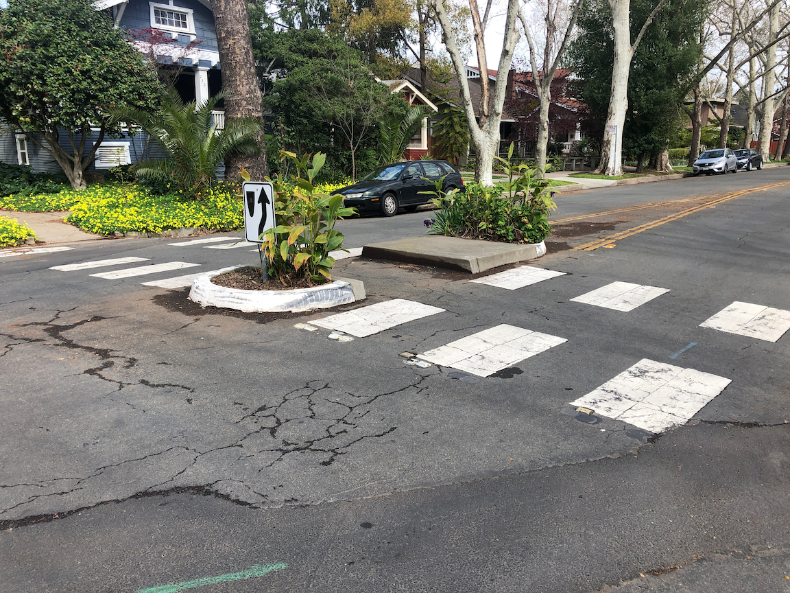
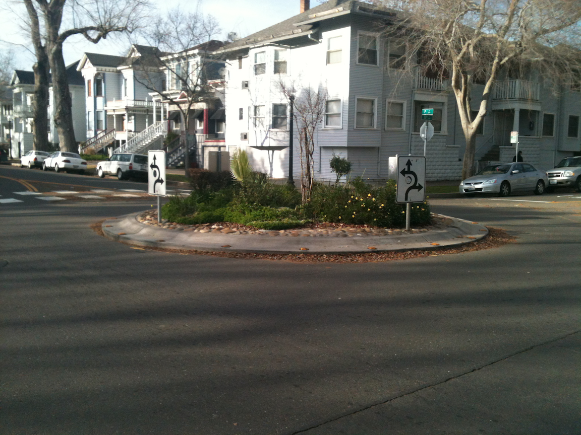
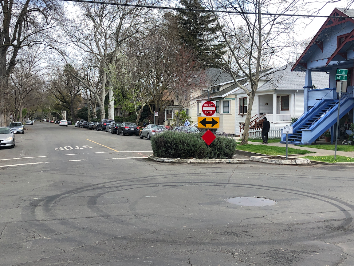
The biggest problem with cars is that they dominate our cities, and make compact, walkable development and neighborhoods impossible. I live in a place (downtown Sacramento) where nearly all of my needs are within walking distance, and the few that are not are within bicycling distance. I’m car free and have been for ten years (I had written care free instead of car free, but you know, it is much the same thing).

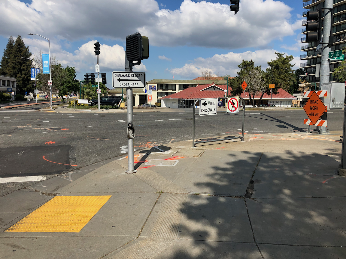
Yet car drivers through downtown, many but not all of them people who don’t live in downtown, challenge me for right-of-way every time a use a crosswalk. Crossing the street should not require either yielding my right of way to drivers, or trying to intimidate them into stopping (which most walkers are too afraid to do, rightly so). When I’m bicycling, drivers running red lights and not coming close to stopping at stop signs are a constant danger, meaning I have to be on high alert rather than enjoying my place and my ride. The nature of the majority of drivers is that they willingly intimidate walkers and bicyclists. People driving electric vehicles are not any better. Tesla drivers are giving BMW drivers a run for their money in competition for the worst drivers on the road.

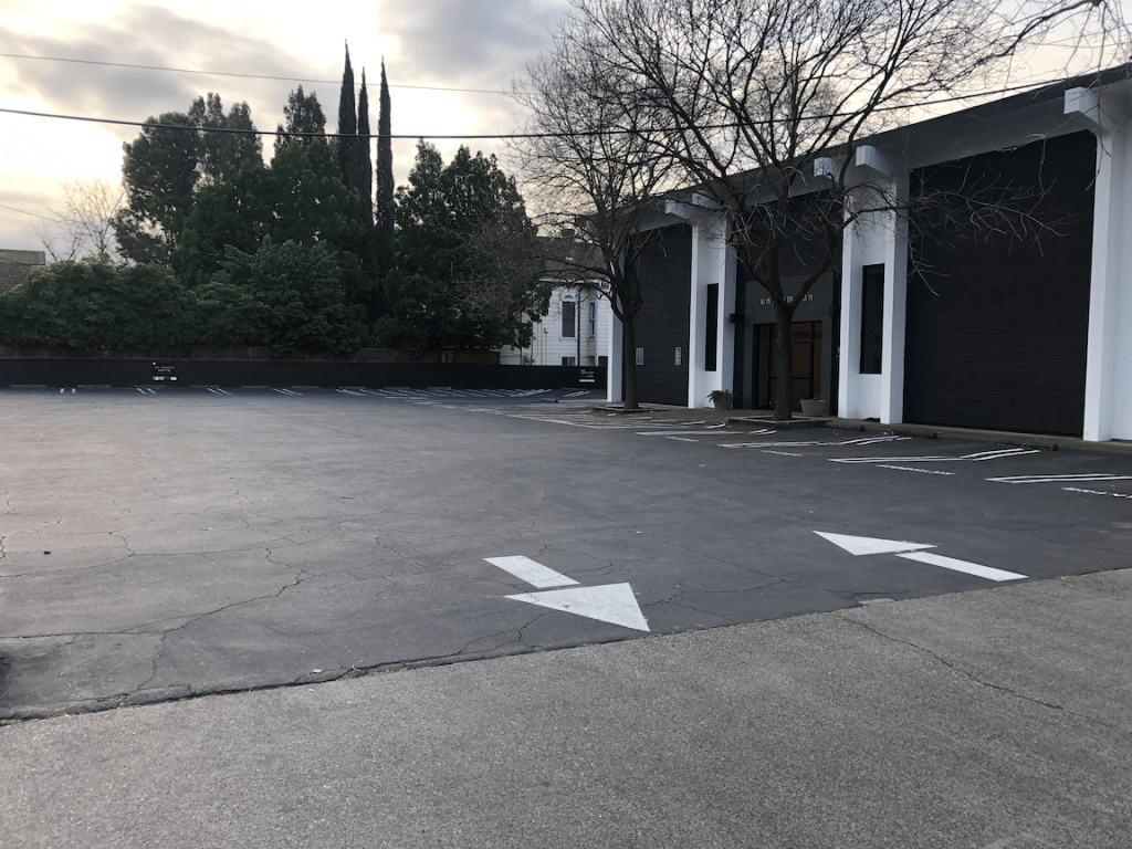
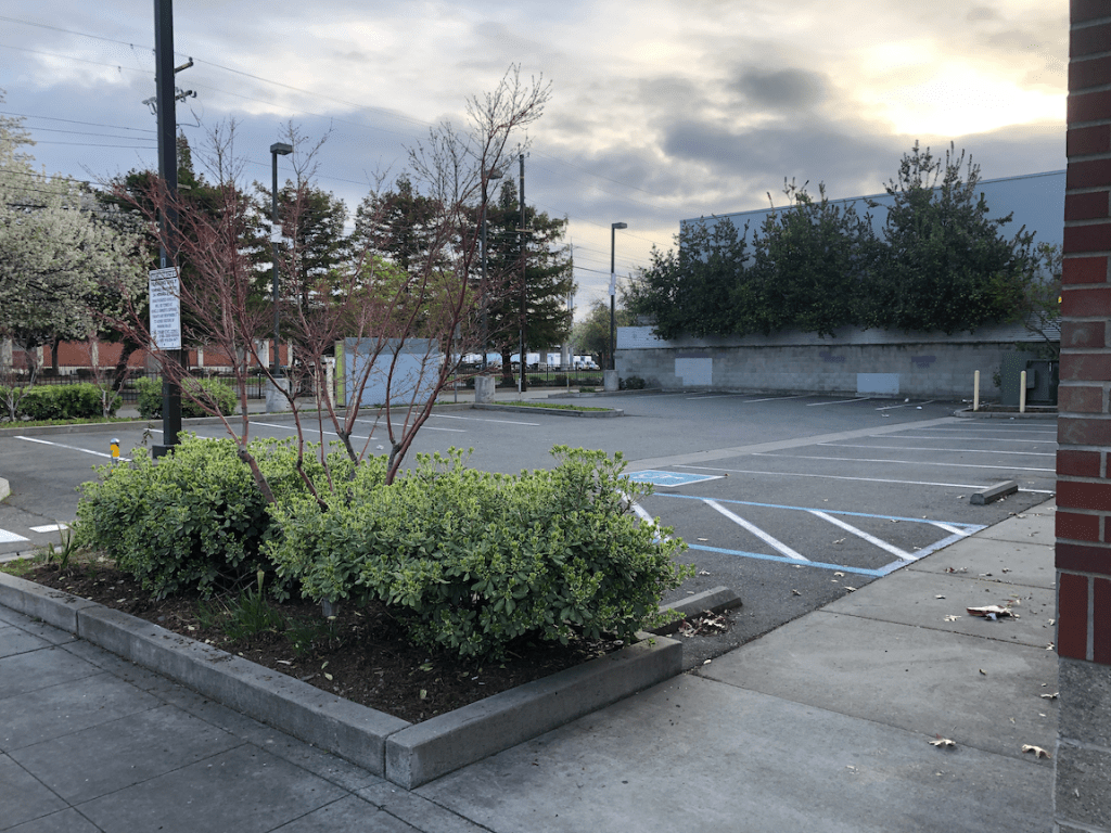
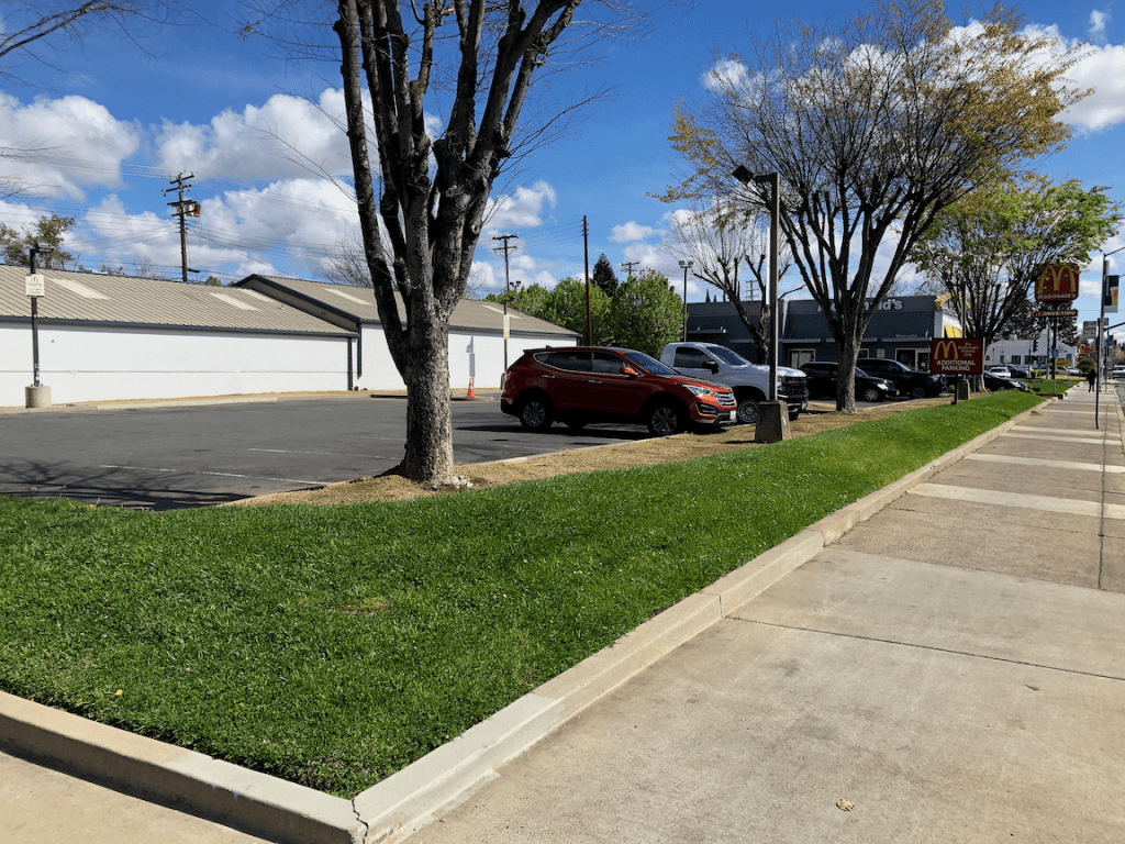
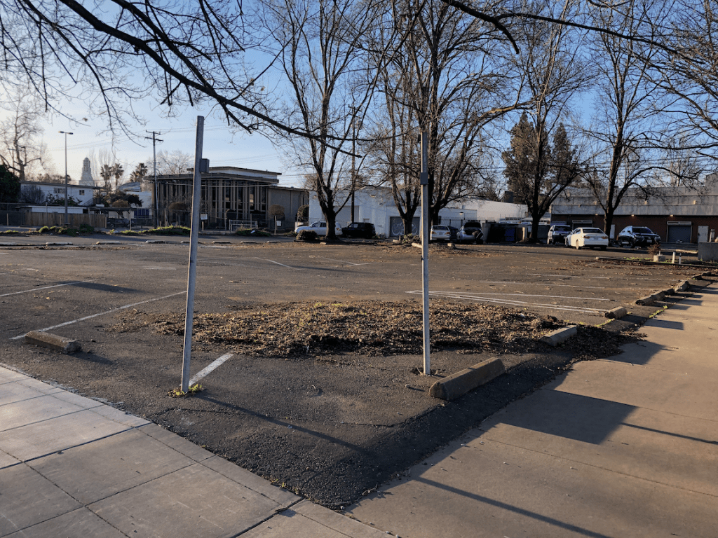
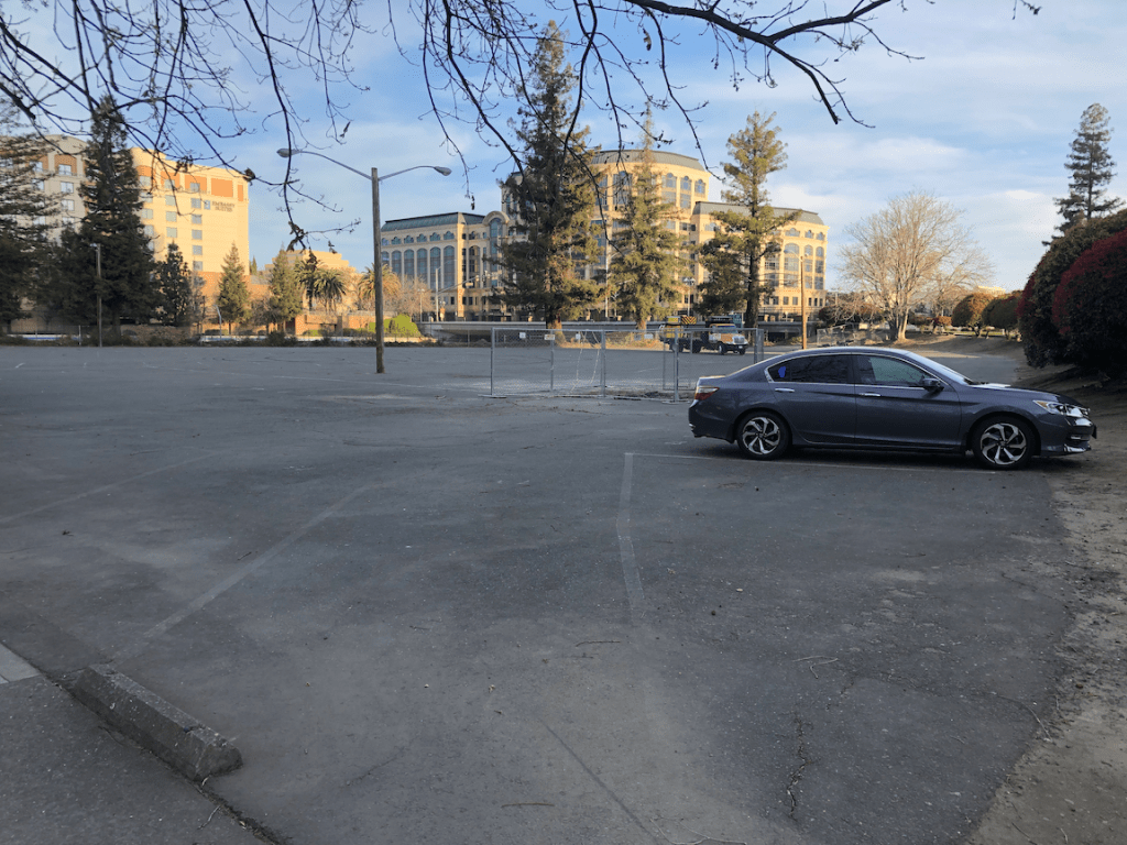
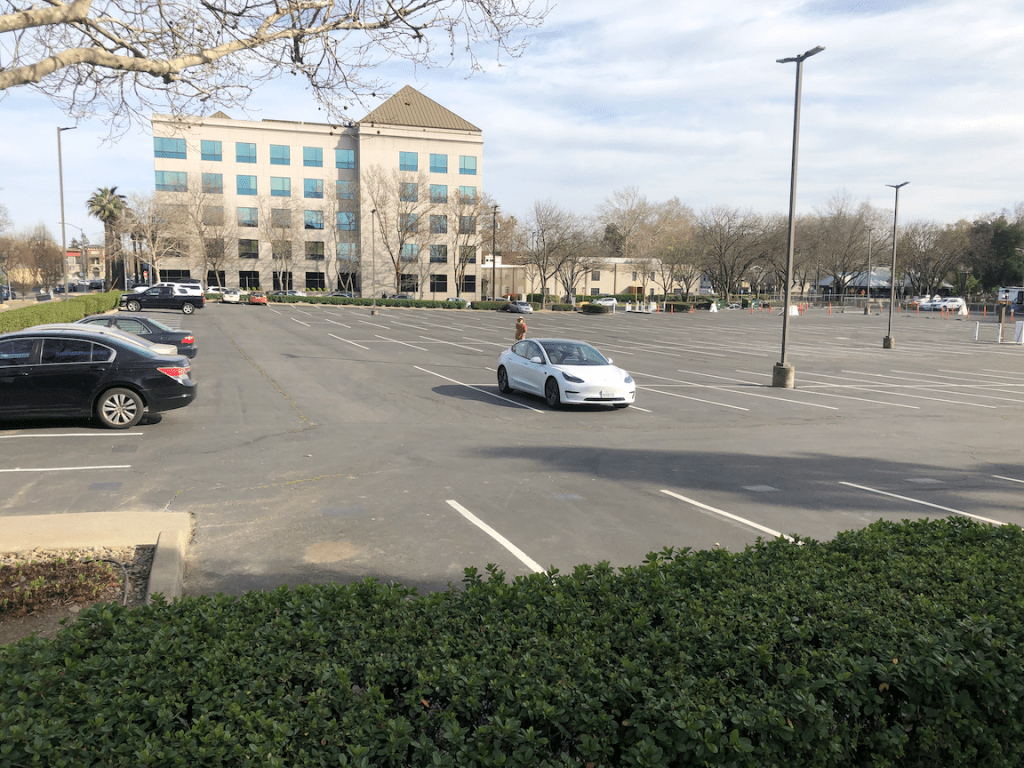
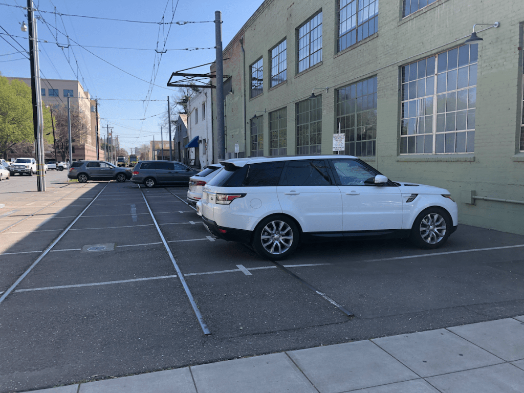
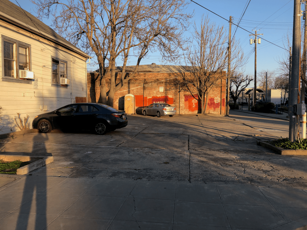
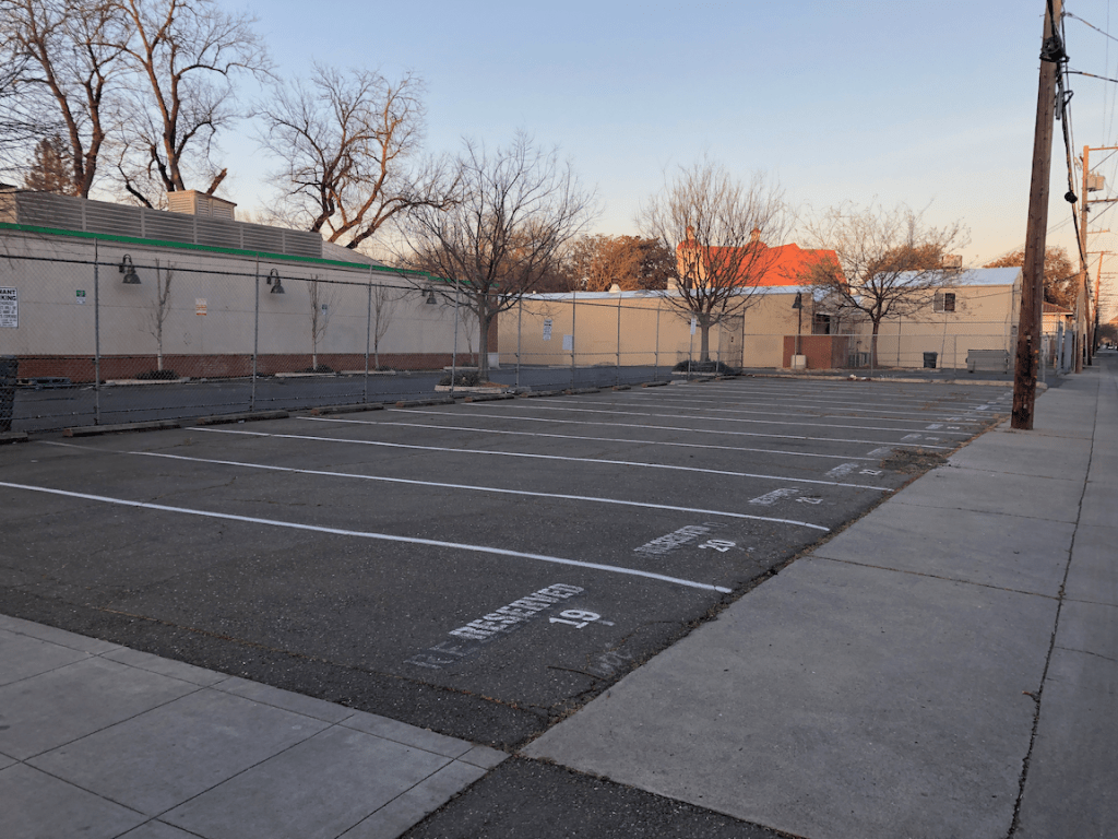
Because of the space taken up by cars, the roadway, on-street parking, off-street parking, everything is further away. Downtown and midtown, things are still within a reasonable distance, but that is not true anywhere else in the region except downtown Davis, old town Folsom, and old town Roseville. The amount of land devoted to cars is truly amazing, and sad, and criminal. Six lane or more arterials, with parking lanes and turn lanes. Six lane or more freeways, with the ever present threat to widen them. Katy Freeway (26 lanes in Houston area), coming to your community, courtesy of Caltrans!

I suspect a lot of the energy behind electric cars is just people who really don’t want to give up their car, at all, ever. They are the same people who bought Prius cars because they were more environmental, and continued driving the same or more, and then bought Tesla cars because they are even more green, and continued driving the same or more.

Car drivers kill more than 40,000 people every year in the US, and it looks like 2020 is going to be 43,000 when the official data is in. Motor vehicle fatalities are usually a bit above gun-related deaths. Cars are the leading cause of death for children and young people. Many people tolerate this as just part of the way things are, but it is not the way things are. It is the result of our American car addiction, and the design of our roadways (engineers are morally and legally responsible for this), and the choices of drivers.

Here is my suggestion. We remove one-half of all cars from service, by whatever means necessary, with whatever funding it takes. There should be criteria that prioritizes: 1) the most polluting cars; and 2) cars owned by drivers who drive a lot, 3) cars that are not used but still take up space on the street. I realize that there are homeless people living in vehicles, and I’m not talking about those, but the ones just gathering dust and leaves and cobwebs. I am not suggesting that the government pay going prices for these vehicles, but something quite a bit less. If necessary to induce the change, we can simply refuse to renew registration on vehicles in these categories.

Then, and only then, we start subsidizing replacement of the remaining internal combustion cars with electric, starting with the lowest income people. If we devote X amount of dollars to this, and X amount only gets us up to 40% of the median income, that is just fine with me. As many studies have shown, it is high income people that are receiving almost all the benefits from electric vehicle incentives. That is classist and racist, and must stop. We might eventually get to higher income levels, but only after replacement in the lower income levels has been achieved. That means we need to immediately end the programs as they exist and revise them to be equitable. If you are an electric car booster and and not working to achieve equity, you are just being an entitled jerk.

Please, let me not hear anything about electric vehicles the next time I go to a meeting or jump on Twitter. Please.