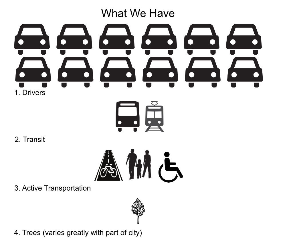
I have a number of friends who are car free. Like me, they have flexibility in their lives, and time to plan traveling. But several of them also have families and manage to be car free. I recognize it is a challenge, and acknowledge them for the effort. I have a larger number of friends who are car light, own and use a car sometimes, or in some cases, do not have a car but rely on ride hail for many trips. They don’t usually drive, but do for several reasons: they are late, they have to haul more than is comfortable on a bike or walking, they have family members who need to get somewhere and don’t drive (kids and elderly), and they want to go to the mountains or the ocean, both of which are possible without a car but more awkward.
I’m not judging people for not being car free, or using a car sometimes. Life is what happens. I am privileged to lead a life where I do not want to drive, do not need to drive, and have the time to plan trips by other modes. I have no one dependent on me for transportation. I have not owned a car in 15 years, and have not driven a car in 6 years, and now I don’t even have a drivers license. I save a huge amount of money on not have a car and all the accompanying expenses, but I do spend quite a bit on train and transit travel. And I am happy with the additional time it takes to get places. I am not a stay-at-home person, I’m more active that most of the people I know.
But I challenge everyone to pause before driving. Am I driving because I am lazy, or tired? Am I driving because it seems to hot, or too cold, or too windy? Am I driving because it is more convenient or faster than other modes? Am I driving because I forgot to plan ahead to get there some other way? Am I driving because the car keys were right there by the door? Am I driving because I spent a lot of money on my car, and I feel like I need to get the value of that by driving it? Am I driving because it increases my visibility and stature with others (is my car part of how I define my worth)?
Most importantly, could I defer or cancel this trip? Is is really that important? Could I do it tomorrow, or next week, or not at all?
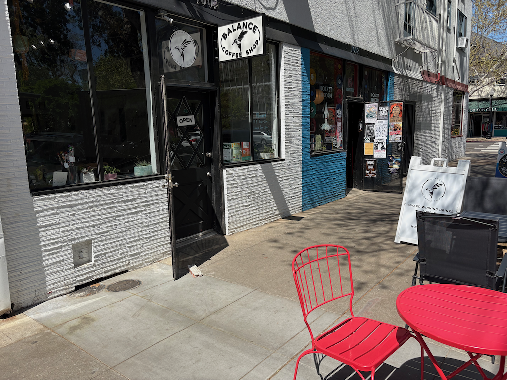
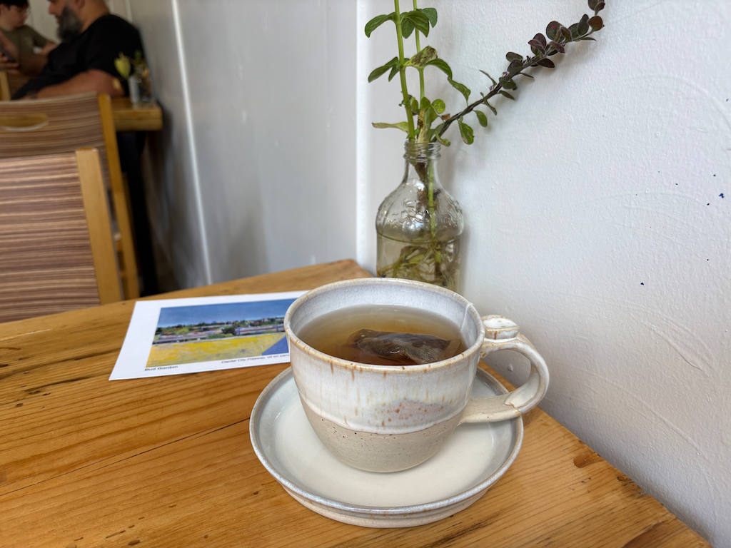
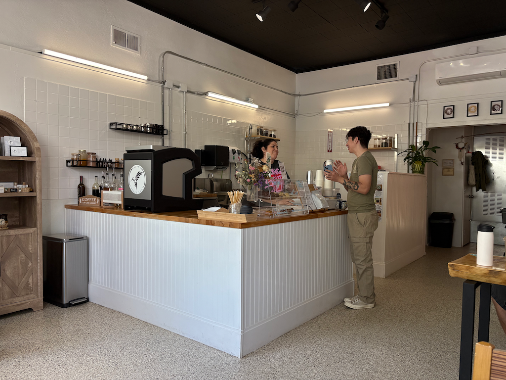
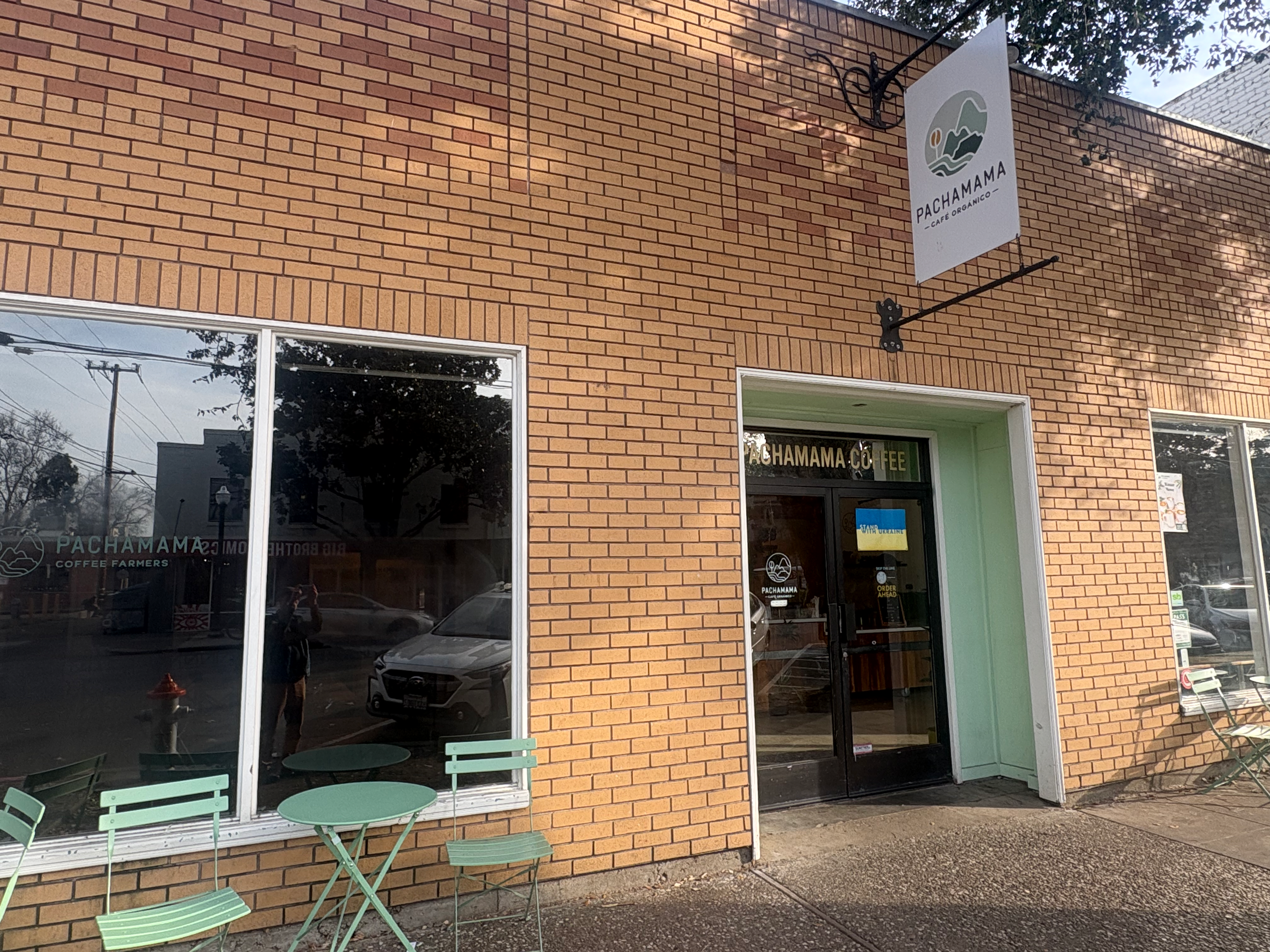
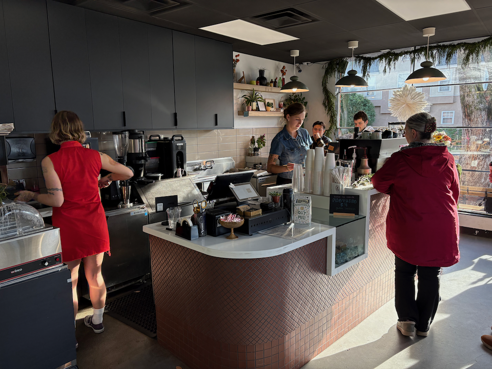
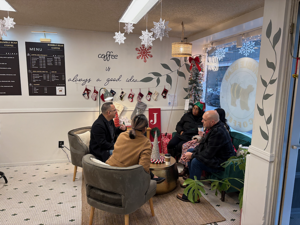
If you think that driving less is good for you, good for your family, good for your community, and good for the earth, then start now. One less trip a week. And another less trip next week. That is actually how I got to car free over several years, driving less and less each week, each month, each year. One attempt at a mode you don’t use, or don’t usually use. Make a plan and use transit. Plan ahead and bicycle or walk. Stay home and enjoy your home. Walk to the coffee shop or bar and enjoy the company.
Be the change you want to see.