Part of an ongoing series of posts to support better streets in the City of Sacramento during their 2023 update of Street Design Standards. New standards must be innovative, safe, and equitable, and it will take strong citizen involvement and advocacy to make them so.
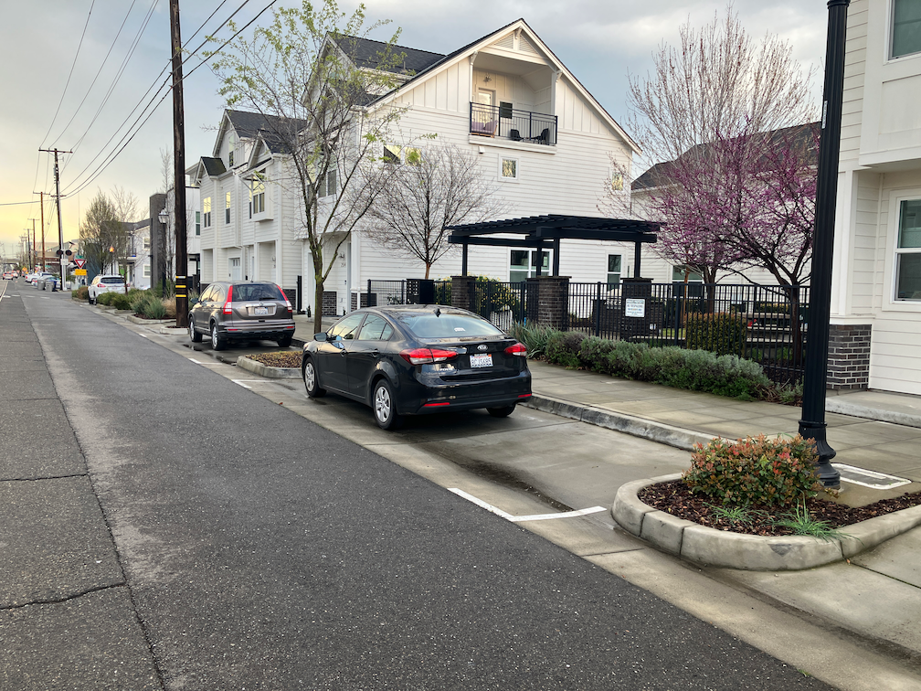
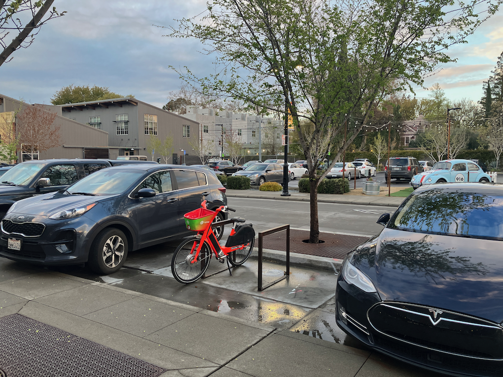
- Street design will recognize that on-street parking may have a traffic calming effect, however, this effect will not preclude the use of existing parking for other purposes, including but not limited to wider sidewalks, bicycle facilities, parklets, street dining, bicycle and shared mobility parking, planting strips or parking lane trees, and transit lanes
- Where current streets with parallel parking have excess width that encourages speeding, one or both sides of the street should be converted to diagonal parking; new diagonal parking will be back-in
- Parking design will offer dedicated loading and delivery zones as needed; and will include time-limited green curb as needed by businesses
- Parking spaces will be sized for normal passenger vehicles; oversized width or length vehicles may be restricted to certain spots or areas which are designed for them
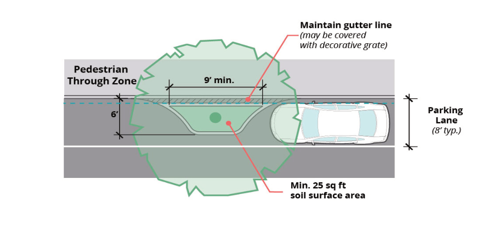
- Parking areas of streets need not be maintained to the same level as travel lanes
Parking Management
- Parking will be managed and priced so as to create about 15% open parking on every block
- Free parking will be eliminated throughout the city; where metered parking is not practical, parking permit fees will be set at a level that recovers the complete expense of parking space installation, maintenance and management
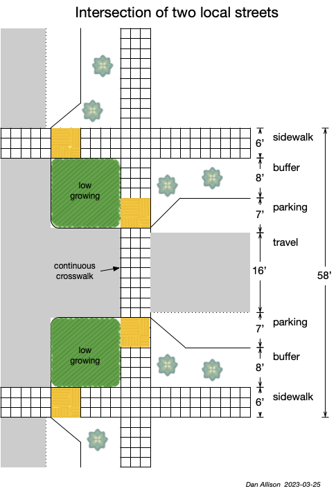
▾ Design diagrams:
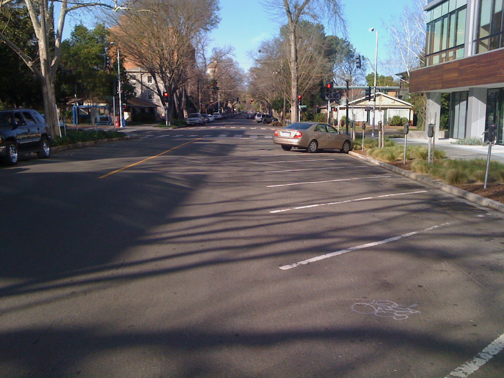
- Parallel marked and unmarked spaces
- Diagonal parking (back-in)
- Curb and pavement markings for prohibition (red), loading (white), delivery (yellow), and time limited (green) parking