Is driving or the train less expensive?

In today’s SacBee article by Tony Bizjak, California just got 125-mph trains. Here’s why they still can’t outrace your car, it is claimed that driving is less expensive than the train. The example given is Sacramento (SAC) to Oakland Jack London (OKJ) round trip. The article says “A price check by The Bee last week found basic Capitol Corridor round-trip train fares – with no monthly pass or other discounts – of $50 to $54 for the Sacramento-Oakland ride. That is typically more expensive than the cost of gas and vehicle wear and tear on a car drive that distance.”

First, the undiscounted Capitol Corridor ticket price is $58 round trip, though there are many discounts. But I’ll stick with the price of $58. I use the IRS mileage rate, 53.5 cents per mile for this year, to calculate driving costs. I hear people all the time claim that it costs them much less to drive, but realize that this is a real calculation the IRS does each year, and it IS the average cost. Unless this is Lake Wobegon, where all cars are “below average,” this is the best number to use.  Driving from the Sacramento station to the Oakland station is 82 miles, so 164 round trip. Calculated cost is $0.535 x 164, $88. $30 more than the train. Of course this is a solo trip. If two people are going, then it is $116 train and $88 driving, advantage driving. However, once you arrive at Oakland, you have to find parking. There is no free parking within 1/4 mile of Jack London, and even that is places most people would not want to park at night. Parking rates in lots and decks (parking garages) is commonly $15 for the day, though there are a wide variety of choices. Add that to your trip cost if you are driving. 

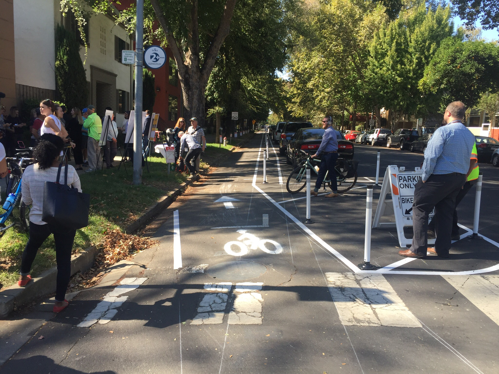
My point is not to give Tony a hard time. He is just repeating information he hears all the time. I hear it all the time too, including from transportation advocates who should know better.

Amtrak discounts include AAA, NARP, military and veteran, senior, disabled, and children (2-12 50%, under 2 free). Capitol Corridor promotions include steep discounts for additional passengers in a group, such as the current Take 5 Weekend Deal and ongoing Friends and Family, and sports and entertainment co-promotions. Every situation is unique, but these discounts and promotions can often bring the train cost down below the driving cost even for groups of people. 

Of course there is the environmental responsibility comparison, and for that one driving always loses.

ATP regional projects

The California Transportation Commission approved additional projects under the ATP (Active Transportation Program) statewide program, including these in the Sacramento region:

  • Yolo, Davis: Providing Safe Passage: Connecting Montgomery Elementary and Olive Drive
  • Placer, Roseville: Washington Boulevard Bikeway and Pedestrian Pathways
  • Sacramento, Citrus Heights: Citrus Heights Electric Greenway (Class 1 Multi-Use Trail); had received planning money only in original award
  • El Dorado: El Dorado Trail – Missouri Flat Road to El Dorado
  • El Dorado, Placerville: Upper Broadway Pedestrian Connection
  • Sacramento: Folsom Boulevard Complete Street Improvements, Phase 1
  • Sacramento: Two Rivers Trail (Phase II)

And one will receive advance funding so it can start earlier:

  • Yuba: Eleventh Avenue Pedestrian and Bicyclist Route Improvements

Other projects are funded at the regional MPO (SACOG) level. 

Separated bikeway demo on P St

The City of Sacramento has created a demonstration separated bikeway on P Street (westbound) between 15th and 13th streets. Separated bikeways, also known as protected bike lanes and cycletracks, are becoming common in progressive cities, but this is the first in Sacramanto. Yesterday the city held a “ribbon cutting” on the facility, with Mayor Steinberg and Councilmember Hansen speaking and visibly excited. The demonstration will be there through Friday, then removed. The purpose of the demonstration is to show the public what a separated bikeway looks like and how it works, and gain community feedback on the project. The city wants to install parking protected separated bikeways on portions of P and Q streets, and a buffered separated bikeway on a portion of 10th St (map below), so the demonstration hopefully will lead to permanent installations. 

I was amazed at how quickly drivers adapted to the parking change. Most of the spots were filled with properly parked cars, even though the parking didn’t open until after the morning rush on parking. I was also noted that when the project was already set up for the morning inbound rush hour, there was no congestion on P St. This is the type of project that benefits drivers, bicyclists, and even people parking. 

On of the questions about these facilities is how they interact with transit. The demo was placed on the left (south side westbound) to avoid interacting with buses. However, Route 6 Land Park and Route 38 P/Q Streets are low frequency 60 minute routes that should not strongly influence street allocation. An easy solution to having both separated bikeways and bus stops on the same side of the street is bus boarding islands within the parking lane or buffer, so that the bikeway passes behind the island. 

I encourage you to get out and see, and use, the demo, and then provide your feedback to the city. The city will host an Open House on October 9 from 5-7 p.m. at City Hall. If you can go, please do! I’m sure there will be people there complaining about loss of a lane, and loss of parking (though there is only a slight decrease), and about change in general, so the city needs to hear from enthusiasts (we want it NOW) and thoughtful ideas for how to improve projects and install in more places. More information is available on the CityExpress page, and the Downtown Bikeways Project page


More photos on Flickr: https://www.flickr.com/photos/allisondan/albums/72157686958079110

Distracted walkers are not the problem

It has become popular recently to blame pedestrians for their own death. Some have always done this, from the beginning of the auto industry and its “jaywalking” campaign, but it is amazing how much law enforcement promotes this blame, how much the media buys into it, and how much transportation and safety agencies (Caltrans and OTS) market it. 

So let me share my experience. I walk, a lot, in addition to bicycling, a lot. Every day drivers refuse to yield my right of way when I am making legal street crossings. It makes little difference if I am waiting on the curb (where they are not required to yield, except by common courtesy), or waiting in the street, where they are absolutely required to yield to me. On multi-lane streets, when one driver stops for me, it is quite common for drivers in other lanes to not stop, though the law requires them to. I am never walking distracted, I make the personal choice to not look at my phone while crossing the street. But for anyone to suggest that it is the fault of someone walking distracted when a driver fails to yield right of way to a pedestrian, and kills them, is deeply, deeply offensive. This is similar to someone saying, well, I was just firing my gun and someone happened to walk in front of it. Cars are deadly weapons, and drivers are potential killers. It is time our society grew up and took responsibility for the harm that can be caused, and is caused, by our addiction to driving, and to the imputed freedom to run down someone who is just crossing the street. 

… house people, not cars …

“We want to house people, not cars. I hope that other cities notice that when Oakland did this revolutionary, radical thing, which includes zero parking requirements in downtown, as well as a parking cap–not just a minimum, but an actual maximum–these radical, dangerous ideas actually flew through our city council approval process without any controversy.” – Libby Schaaf, Mayor of Oakland

#JustSayNoToAmazon

Within hours of Amazon announcing a competition to create a second headquarters, HQ2, mayors and governors all over the country were saying “Me, me, choose me.” Including Sacramento Mayor Darrell Steinberg. This is a mistake!

I don’t have anything against Amazon, they are a company with a business model that has been remarkably sucessful. I shop there, at least when I can’t easily find an item locally. Their prices are often remarkable. Yes, and I also feel hesitant or guilty each time. But this isn’t about Amazon.

I’m also not against jobs. And I’m also not against development, though I certainly prefer small-scale development to large-scale development. A headquarters with 50,000 employees is something that would overwhelm all but the very largest cities. Sacramento is not among those cities. 

What this is about is about a city (and regional and state) economic model that says we can’t get anything good unless we soak the taxpayers for a subsidy. In this case, Amazon is asking for a huge subsidy from whatever locale “wins” the competition. 

On the positive, Amazon includes the requirement: “Direct access to rail, train, subway/metro, bus routes”. But they also seem quite willing to be in the suburbs, on a greenfield site, only asking within 30 miles of the city center. In the case of Sacramento, that includes Davis, El Dorado Hills, Roseville. Ack!

The RFP then gets to the heart of the matter, money!

Capital and Operating Costs – A stable and business-friendly environment and tax structure will be high-priority considerations for the Project. Incentives offered by the state/province and local communities to offset initial capital outlay and ongoing operational costs will be significant factors in the decision-making process. 

Incentives – Identify incentive programs available for the Project at the state/province and local levels. Outline the type of incentive (i.e. land, site preparation, tax credits/exemptions, relocation grants, workforce grants, utility incentives/grants, permitting, and fee reductions) and the amount. The initial cost and ongoing cost of doing business are critical decision drivers.

In other words, we will consider you if you come up with a bigger bribe than anyone else. I doubt that Sacramento can compete in this arena, but more to the point, no one should be in this competition. Amazon is a very successful company. They don’t need our subsidy to be successful.

So, back to the title #JustSayNoToAmazon. I’m not suggesting that Sacramento decline on its own. I’m suggesting that big city mayors show some true leadership, meet with each other, and, as a unified whole, decline the Amazon offer. This is a chance for Mayor Steinberg to show some real leadership and not just be a booster for failed economic models. 

Articles and posts on the Amazon plan are proliferating, but let me suggest two:

LimeBike in South Lake Tahoe

This weekend in South Lake Tahoe I used the LimeBike bike share for the first time. This system is truly rootless, unlike the SoBi system that allows parking outside hubs but is hub focused. As a result, bikes are everywhere, including out of town. I saw a few parking way out the bike trail northeast of town, on Emerald Bay Rd. I’m not sure if there is some sort of outside geofencing beyond which one can’t ride or leave a bike, but the current use is quite expansive. I don’t know anything about what sort of rebalancing occurs. 

LimeBike is app centric, you need an iOS or Anroid phone with the app installed, and an account with credit on it. Each bike has a unique QR code,which is scanned with the app to unlock the bike. The bikes have European style wheel locks, which unlock automatically, but are manually locked at the end of the ride. 

The cost is $1 for 30 minutes, not prorated, but a very good deal. The Sacramento Tower Bike Preview is $4 per hour, other SoBi systems $7 per hour, and dock systems like Ford GoBike either are membership based or about $3 for 30 minutes. 

The bikes are very simple and inexpensive. The weight is less than half of a typical bike share bike, but that means they are also less robust. I saw several bikes with broken or broken off baskets. The bikes have a rear red reflector, meeting legal requirements, but not what the typical rider would want. Front generator lights are provided, the sort older people will remember from childhood, where power is generated by a wheel that rides on the tire. Some bikes are missing their front light, victims of vandals. Most importantly, the bikes are single speed, no gears to maintain, and no gears to use. Though South Lake Tahoe is flat at least close to the lakeshore, it was challenging heading up a slight hill into a headwind. The bikes have standard disc brakes, that work reasonably well. And a twist bell on the left grip. 

Apparently the business model for LimeBike is that by using inexpensive bikes they can offer lower rates, and easily replace bikes when necessary. Regular system bike share bikes cost $1000 to $1600, but I would guess these bikes are about $200. 

Bike share in Santa Monica

Breeze maintenance shed

The Breeze Bike Share in Santa Monica uses the same Social Bicycles (SoBi) bikes that the Tower Bridge Preview in Sacramento does. On a recent four day visit to Santa Monica, I used the system quite a bit, both for transportation and to compare systems. Here is my take:

  • Breeze Bike Share is operated by a separate company, CycleHop, rather than directly by SoBi as is the Sacramento system. The company also operates systems in West Hollywood/Beverly Hills, Long Beach, San Mateo, and other cities outside California. CycleHop has a major maintenance and storage facility, which I stumbled across, shown in the photo above. They tried rebalancing with bikes for a while but have gone to using vans as they are more efficient. 
  • Breeze bikes are green, and the major corporate sponsor is Hulu. As far as I know, Sacramento is still in search of a major corporate sponsor. 
  • The cost per hour for Breeze is $7, whereas Tower Bridge is $4. This makes a difference! Though I only used up $5 of my initial investment (it costs a minimum of $7 to join), this is only because I spent time every day returning bikes to,hubs in order to gain return credits. 
  • Return to hub credit is $1 in the Breeze system, $1.50 in Tower Bridge. It makes a difference!
  • Outside-hub fees are $2, and outside boundary (geofenced) is $20, the same as Tower Bridge. 
  • I saw people riding Breeze bikes all over town, at all times of day. I often saw the hub racks fill up and empty out over a short period of time, so I know that bikes in the busiest areas were getting many trips per day, though I don’t have any data. It is rare to see Tower Bridge bikes on the road, and though I think they get used one or two times a day, use per bike is much lower.
  • Downtown Santa Monica has a high density of hubs, about every two blocks, but the hubs are much sparser in the more suburban parts of town. The downtown hubs are quite large, up to 16 racks spaces. The advertisement says 500 bikes, 80 stations. 
  • Several of the hubs are sponsored, which is indicated by a different icon for the hub, but I was unable to find out more about these sponsored stations, and it was not obvious who was sponsoring them. Tower Bridge does not have any sponsored stations at this time. 
  • Hubs were located close to each light rail station (Metro Expo Line), and at many major bus stops. Tower Bridge hubs are not. 
  • Breeze has the same problems of geo-location that Tower Bridge has, sometimes bikes shown as in hub were not, sometimes bikes shown as out-of-hub were at a hub, and sometimes the bikes were nowhere to be found at the indicated location. More of an irritant than a major issue, since the next hub or bike is not far away. 
  • Breeze has a low-income program, but details are only available on request, not on the website. 
  • Breeze allows users to unlock bikes with a registered TAP card (similar to Connect Card), but charges are to the Breeze account and not the TAP account. I’m using my Connect Card in Sacramento, and also used it in Santa Monica. Using a card is a slight convenience over entering a six digit number. 
  • Santa Monica has flat areas, and gently inclined areas, similar to Sacramento and West Sacramento, but the rise from beach level to downtown level, and out of the Rustic Creek canyon, is comparable to American River up to Fair Oaks. A lot of bikes get left down by the pier and beach , so I imagine part of the re-balancing effort is getting these bikes back up the hill. 

Breeze map below. Green dots are hubs with bikes, grey dots are hubs without bikes, blue dots are bikes parked out-of-hub. You can see the higher density downtown.