This is the second of the four quadrants of Sacramento central city, bounded by Capitol Ave on the north, Broadway on the south, 16th Street on the west, and Alhambra Blvd on the east.
Please see my previous post, more housing, less parking, for background information, and the southwest quadrant.
The graphic is below, but more useful will be the ArcGIS Online WebApp Sacramento parking & empty. Red is surface parking, orange is empty parcels.
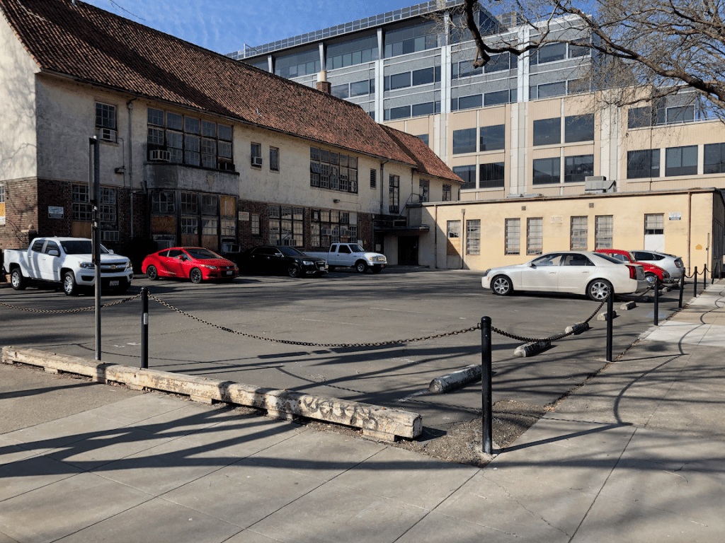
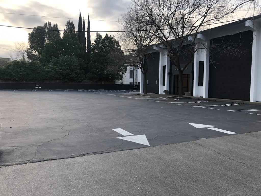
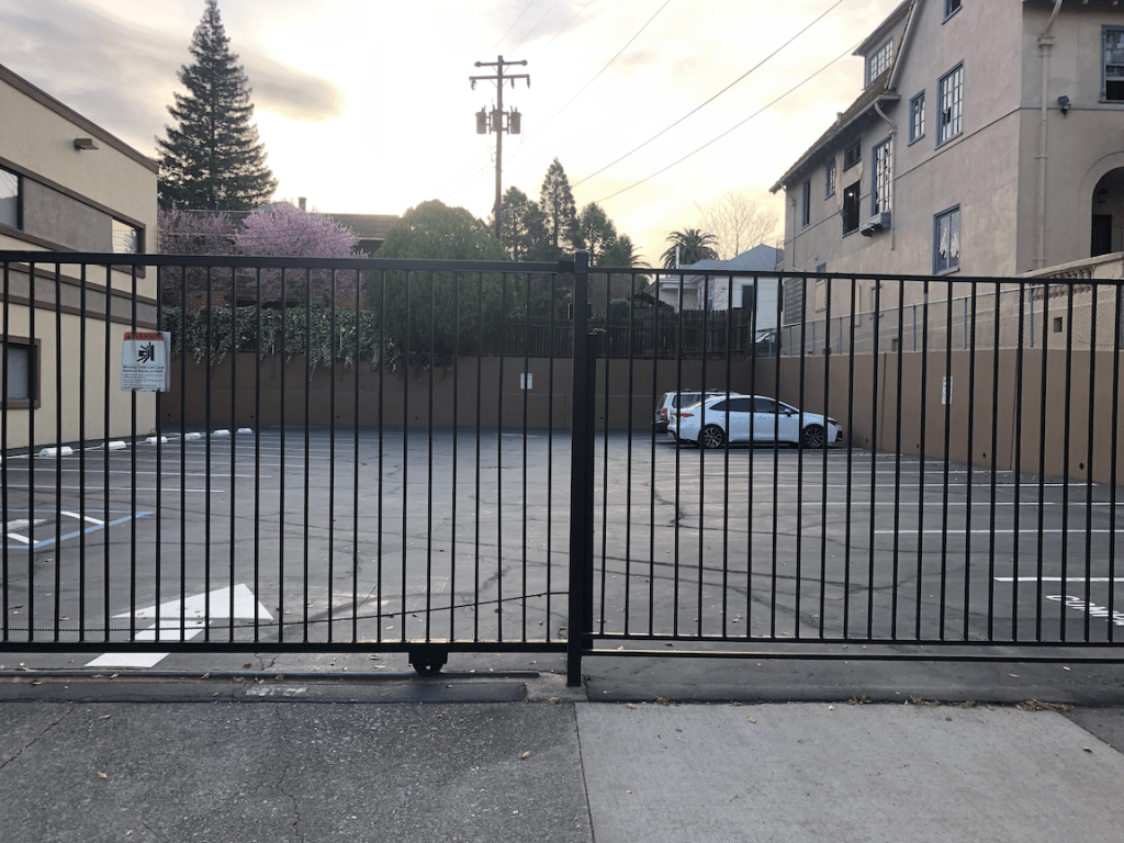
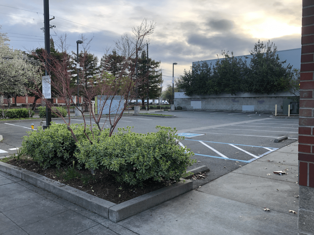
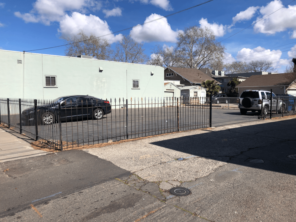
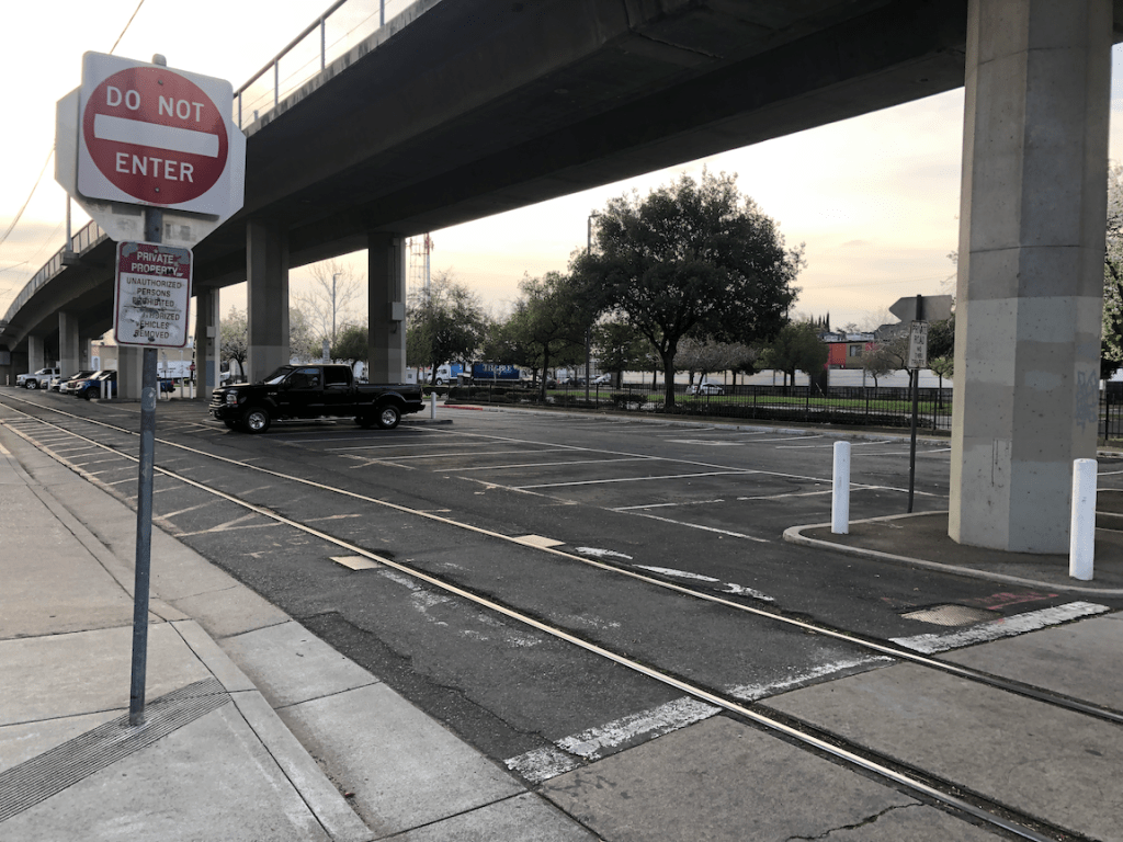
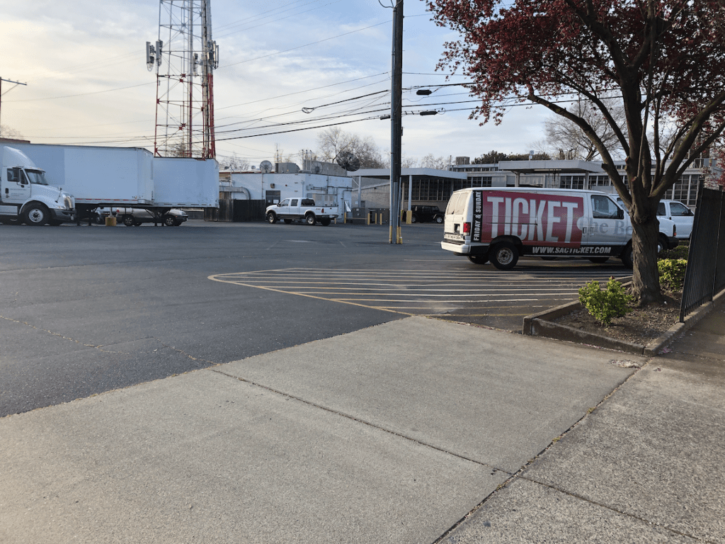
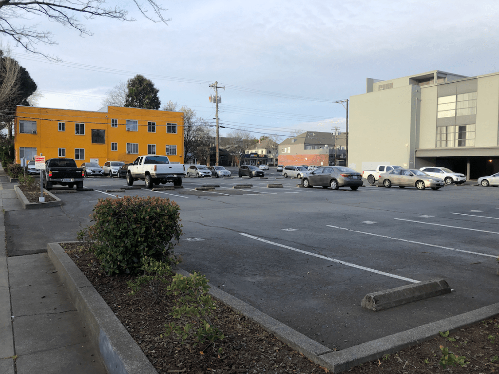
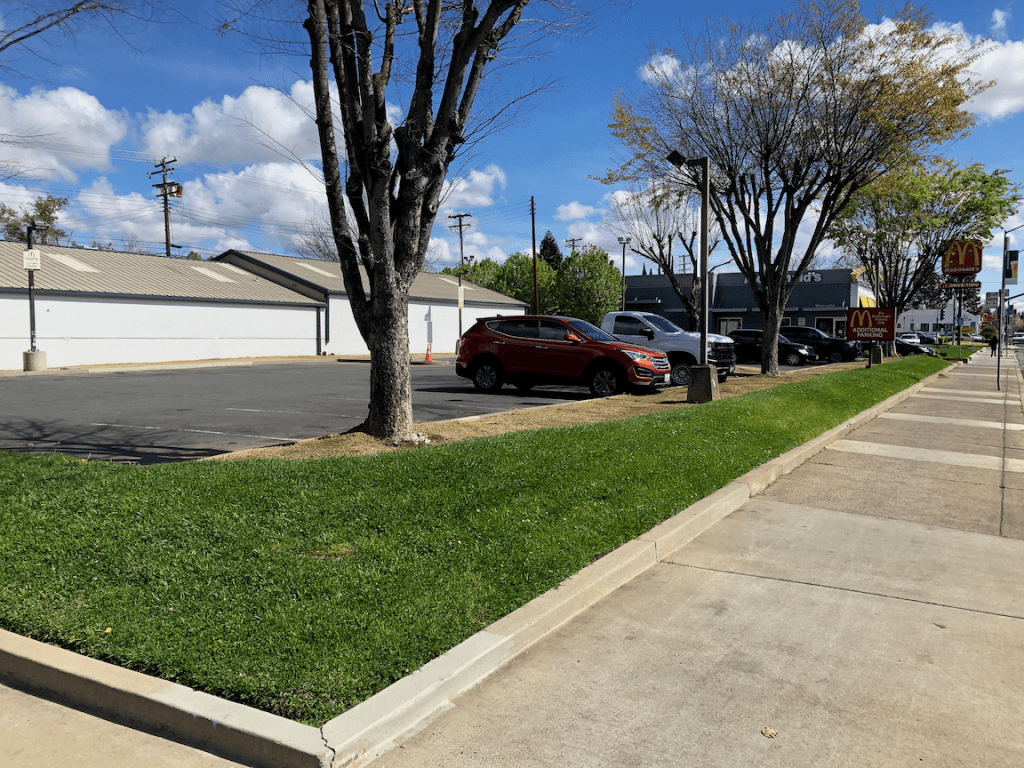
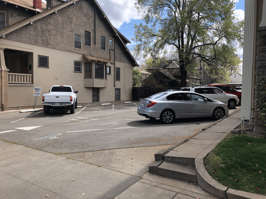
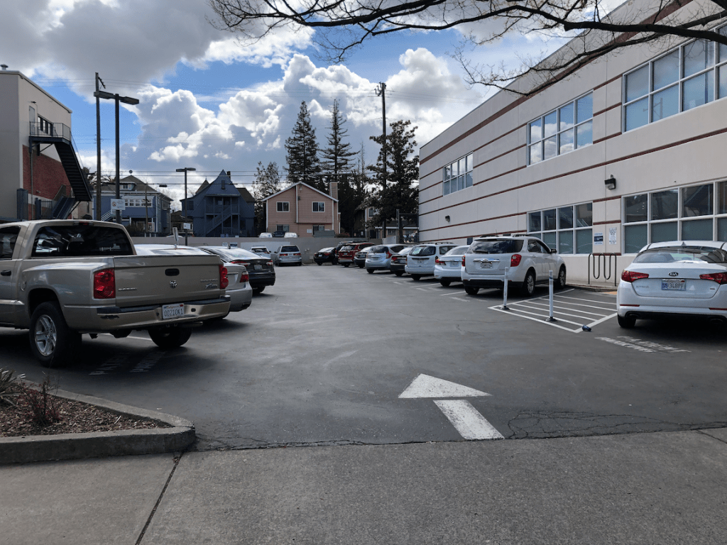
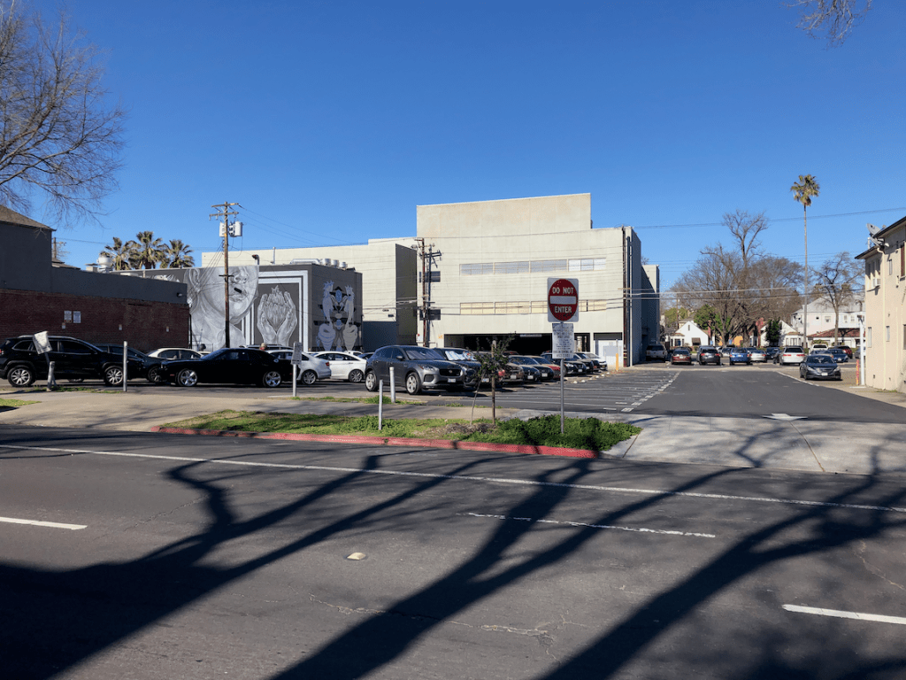
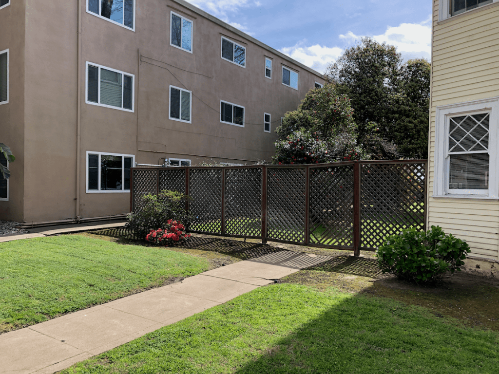
The slideshow below shows many of the surface parking lots in this quadrant of the central city. It may include photos of parcels that contain a building but also have excess parking.


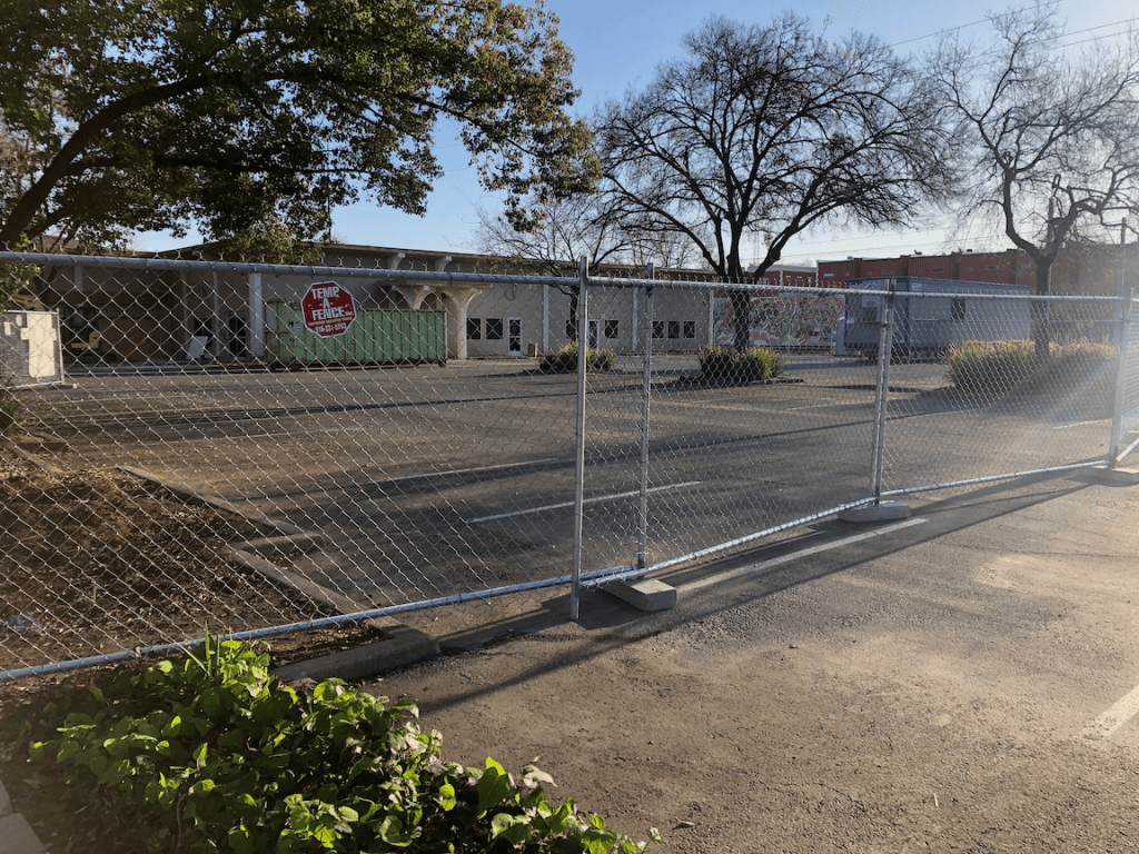


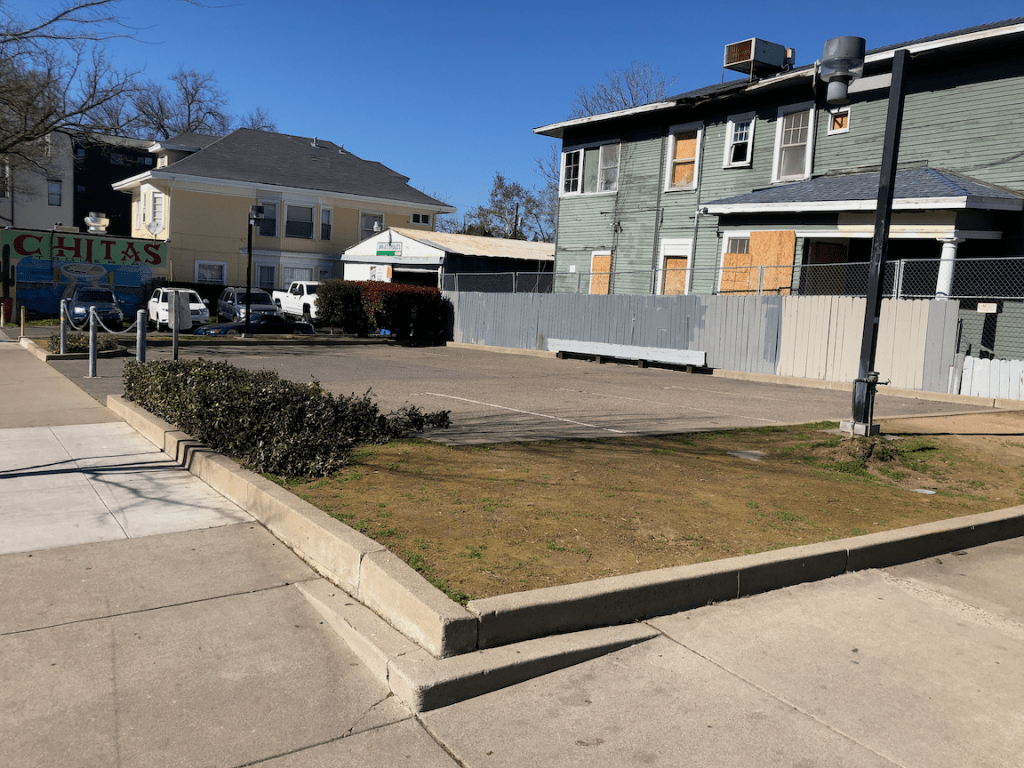


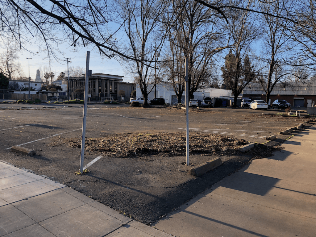
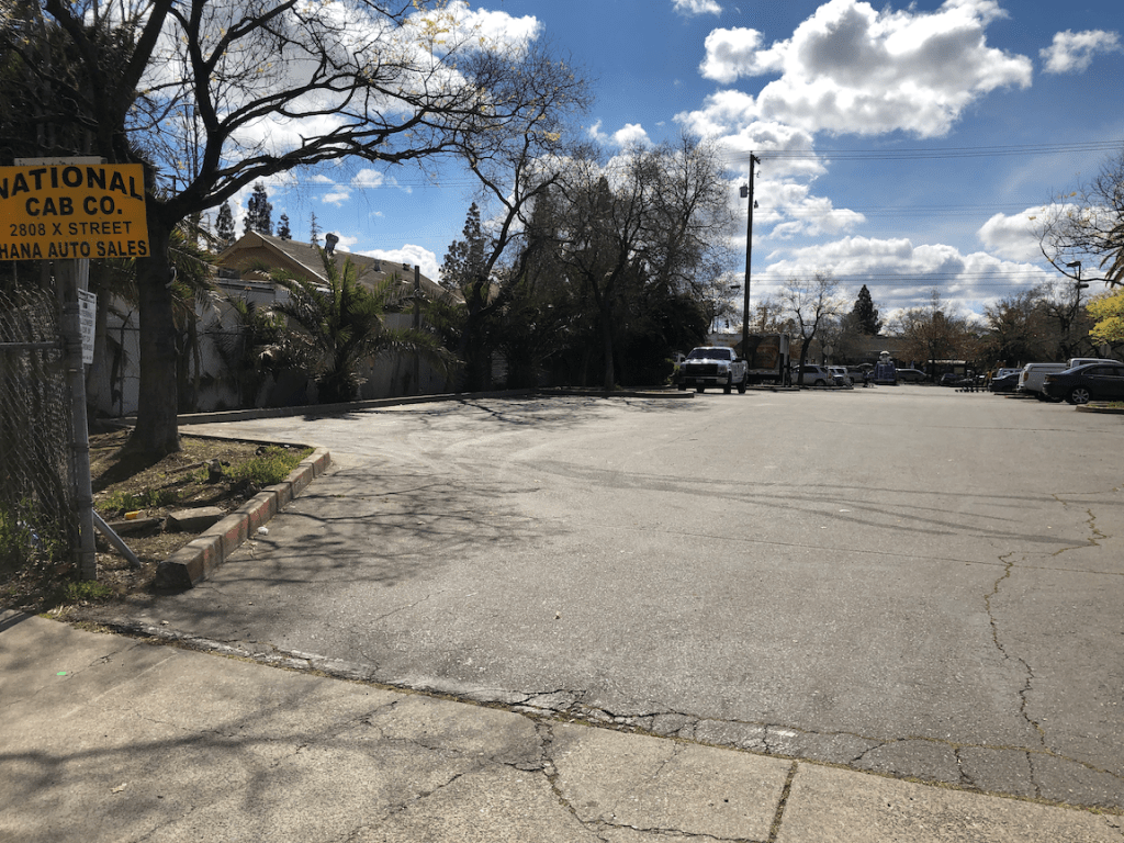
The next slideshow shows many of the empty lots in this quadrant of the central city.
It turns out that compiling the data, including parcels and photos, it quite time consuming, so the other two quadrants of the central city will be a while in coming, but I’ll be adding several posts about what I’ve learned, and the opportunities.

[…] Another installment in the More Housing, Less Parking for Sacramento, CA land-use analysis. […]
LikeLike
[…] have in the past worked to compile information about parking in the central city, but it turned out to be more complex that I had realized and I never completed it. It is fairly […]
LikeLike