City of Sacramento staff (Drew Hart) presented to the Sacramento Active Transportation Commission last Thursday on the Freeport Boulevard Emerging Design Concepts. The presentation slides are here. The city’s Freeport webpage has a lot of background material. A link to the virtual open house on April 28 (tomorrow!) is available. This project and the Northgate project are being supported by the same consultant, so you will notice similarities in the process and graphics.
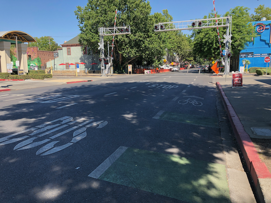
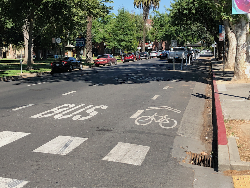
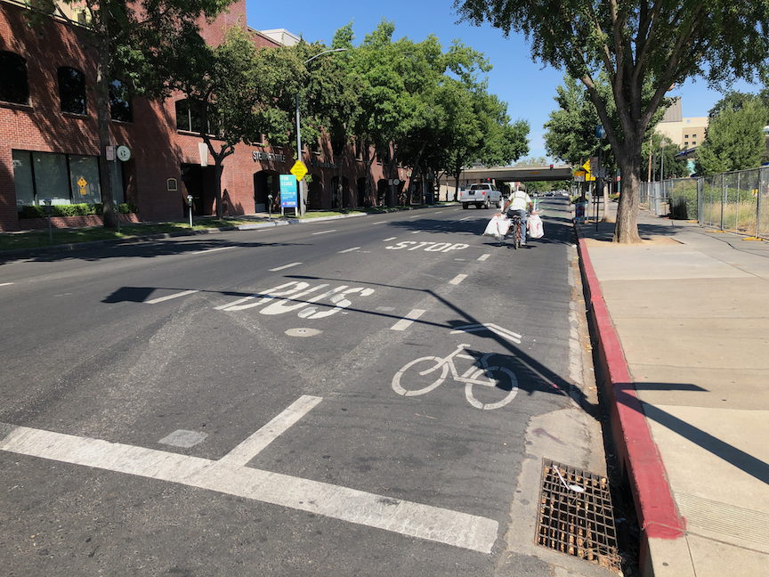
The northern section, between Sutterville Road to the east and Sutterville Road to the west, should look exactly like the traffic-calmed, complete street to the north. This project on Freeport was successful. There is no reason for five lanes in this section. One lane northbound, one lane southbound, and one left turn lane southbound is all it needs. If traffic backs up at the Freeport and Sutterville Road to the east intersection, then shorten the signal cycle.
The emerging design document skips over the issue of whether four general purpose lanes are even needed. A concept should be presented that reduces general purpose lanes to two, and reallocates roadway width to other modes.
Dedicated right hand turn lanes should be removed everywhere. Dedicated left hand turn lanes should be provided only where traffic studies have shown a clear need, and should never reduce the roadway width for other uses.
Green lanes are shown behind protection for separated bikeways. Since the protection does or should prevent vehicle incursion, the paint is not needed.
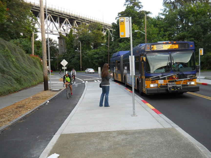
Dedicated transit lanes should be considered. Though SacRT has not identified this as a high frequency route in the High Capacity Bus Service Study (Route 62 is 30-minute frequency), reconstruction of the roadway must consider the possibility of dedicated transit lanes and transit supporting infrastructure. Appendix A, available on the project webpage, provides a lot of detail about existing transit stops, which are mostly quite poor.
Some businesses along Freeport have multiple driveways, more than are justified by the amount of vehicle traffic access. Closure and narrowing of driveways should be considered. Since almost every business has parking fronting the street, no on-street parking is needed anywhere. This is poor urban design, but it is the nature of the corridor and could not be corrected without wholesale reconstruction of the corridor.
While separated bikeways are often a good solution, the frequency of driveways might make for poor quality infrastructure. Unless driveways can be closed or reconfigured, separated bikeways may not be the best solution.
Posted speed AND design speed should be considered for reduction. Posted speed is 30 mph from Sutterville Rd (to the east) to Arica Way, 35 mph from Arica Way to Fruitridge Rd, and 40 mph from Fruitridge Rd to Blair Ave. The section from Sutterville Rd (to the east) to Fruitridge Rd should be posted and designed for 25 mph, in recognition of the density of businesses and driveways. The section from Fruitridge to Blair Ave should be posted and designed for 30 mph, as it has a lower density of businesses and driveways, and is adjacent to the airport for a significant distance.
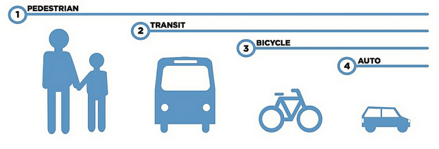
Prioritization of the modes for Sutterville (to the east) and Fruitridge Rd should be:
- walking
- bicycling
- transit
- motor vehicle
Prioritization of the modes for Fruitridge Rd to Blair Ave should be:
- bicycling
- transit
- walking
- motor vehicle
Crash/collision map of the Northgate Blvd corridor for pedestrians (walkers) and bicyclists. Data is from SWITRS for the years 2015-2019. (pdf)