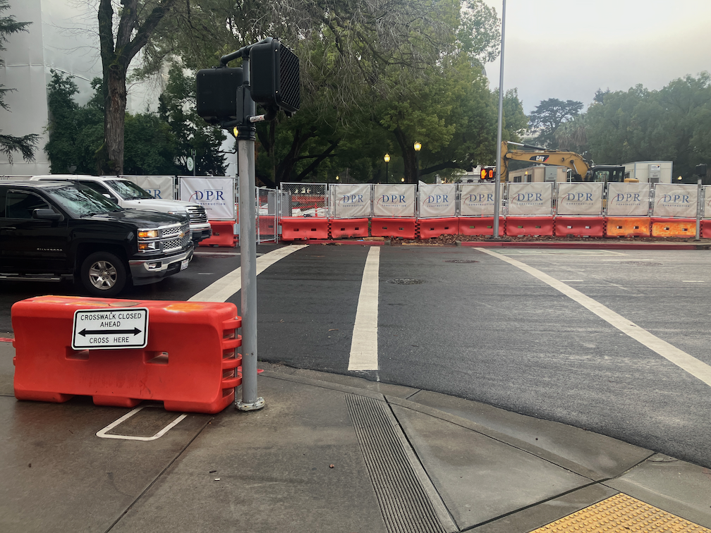
This post updates the Marysville Blvd VZ Safety Project starts post from March 2026. The Phase 1 quick-build project is complete.
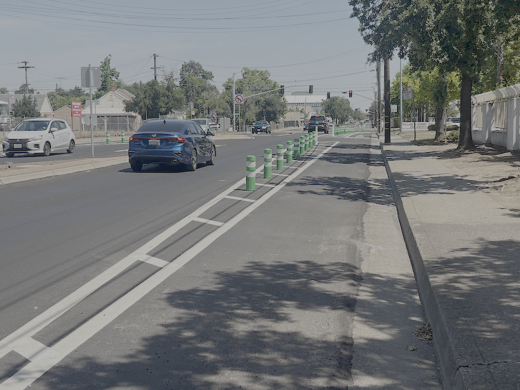
Northbound, the project starts just beyond Los Robles Blvd, and ends at Grand Avenue. Southbound, the project starts just beyond Harris Avenue, and ends just beyond Nogales Street. The focus of the project is narrowing the roadway from four lanes to two lanes with adjacent bike lanes or separated bikeways. Some bicycle facilities are just paint on the ground, while some stretches use vertical delineator (both green K-71 and white ‘wands’ with bases). A typical section is below. The bike lanes at the north and south ends are of poor quality, depending on the gutter pan with a strong linear seam to achieve minimum width. In the middle section, the quality varies but is mostly acceptable.
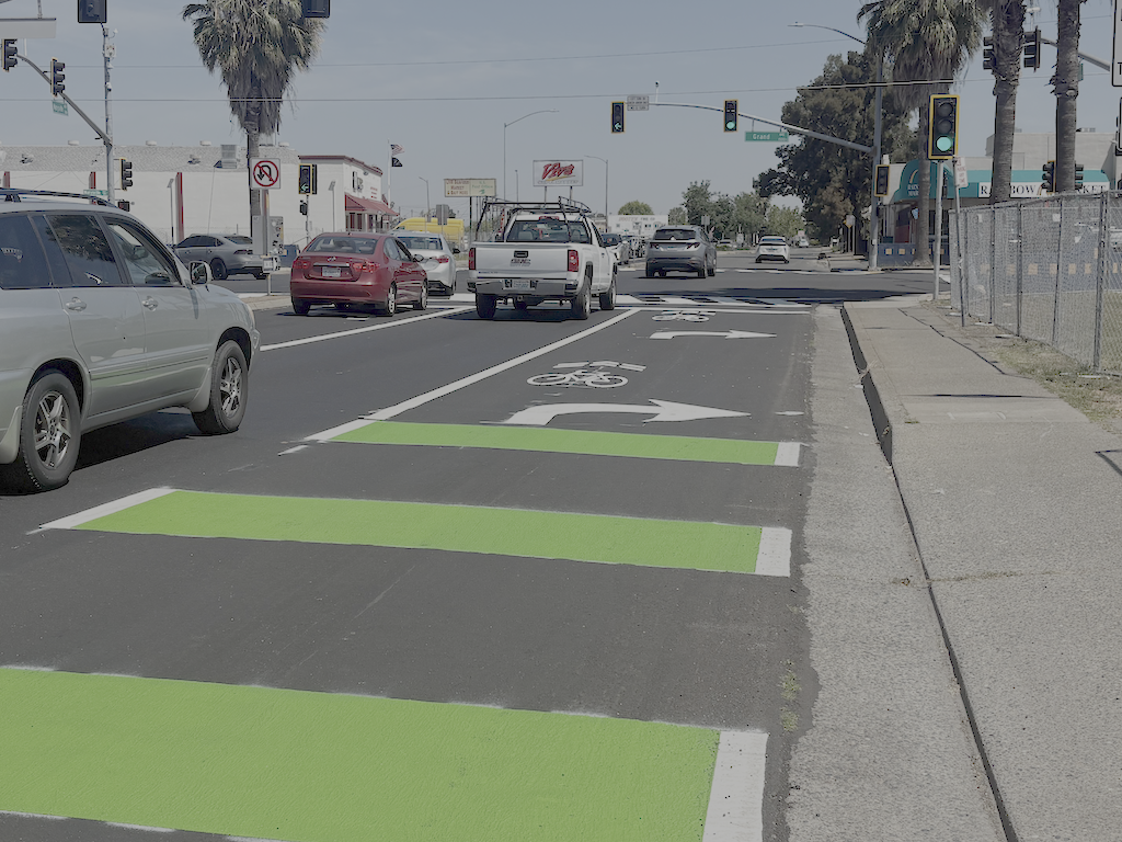
The project uses shared bike lane/turn lane areas at Grand Avenue, below. This is not the worst design, placing bike lanes to the right of right-turning vehicles, but neither will it be comfortable for many bicyclists.
Observing motor vehicle traffic on a Saturday, it appears that drivers have adjusted to the change. Though the varying treatment of the right-of-way might be confusing, it seems to be handled OK. The only issue is that a police motorcycle used the bike lane to bypass traffic, and almost hit me. I did not see anyone bicycling along Marysville, though I did see a number of bicyclists crossing Marysville at side streets.
The signal faces at Marysville Blvd and Grand Avenue were replaced. Other signals were not changed, so far as I can determine. One of the signal faces for Marysville northbound at Grand is out, probably due to mis-wiring.
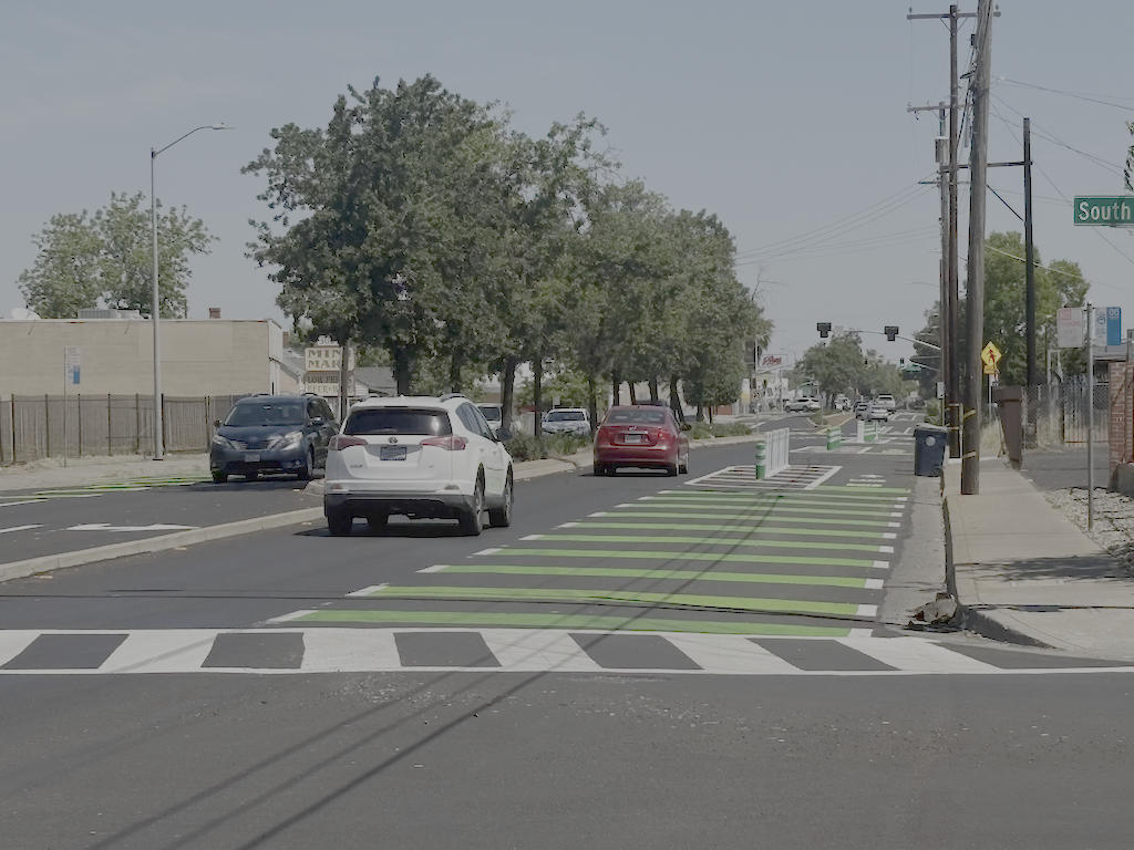
SacRT bus Route 86 runs on this section of Marysville Blvd. Bus stops were marked with dashed (skip) green markings for sharing with bicyclists, below. I suspect the bus area is not long enough for bus use, but since I did not see an buses along the route today, I’m not sure. The bus only runs once per hour on Saturdays. I think the design is safe for bicyclists since it is such a clearly marked area. The only better design would be a bikeway behind (curb-side) from a bus boarding island, though with only one lane for motor vehicles, the city is very reluctant to have buses stop in traffic. I’ve got not problem with it, transit riders have no problem with it, but engineers just can’t stomach giving priority to buses.
No improvements to sidewalks were made, not even corner curb ramps at the most critical intersection of Marysville Blvd and Grand Avenue.
This section of Marysville Blvd is characterized by:
- moderate to poor sidewalk conditions and width
- sidewalk cross-slopes at nearly every driveway, which is a hazard for mobility devices and many walkers
- abandoned business building, and abandoned parcels that may have once been occupied by businesses or residences
- an excess for driveways, most of are not in use; a number of the parcels have two or more abandoned driveways; even the City of Sacramento Hagginwood Park has an abandoned driveway
One example of a driveway that slopes across the sidewalk is below. There are dozens of locations just in this section of Marysville, to say nothing of north and south of the project. Some are active driveways for commercial buildings and residences, but probably at least one-third are abandoned, serving no purpose whatsoever except to make the walking/rolling experience less pleasant and more dangerous.
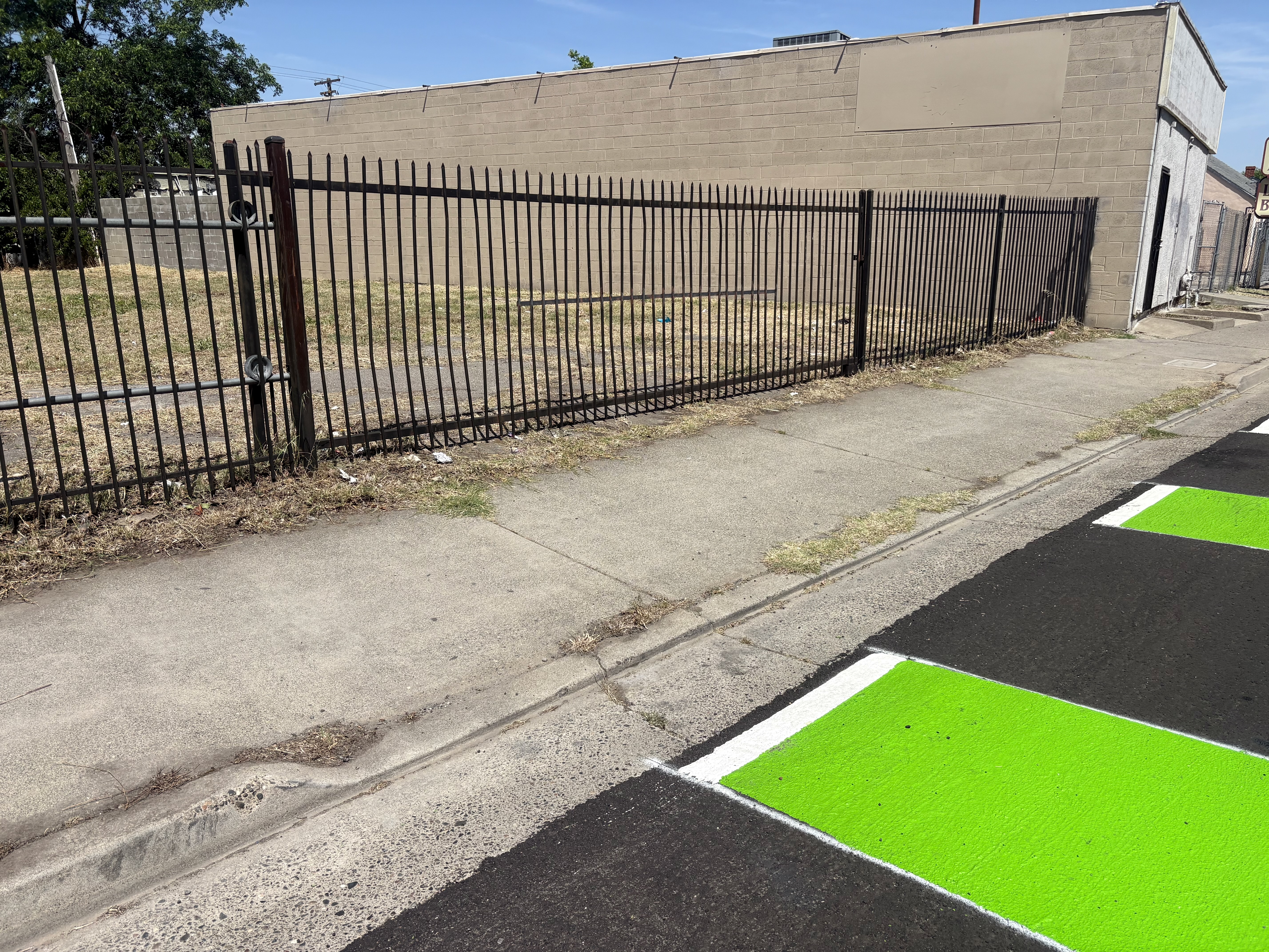
The project has done nothing to improve the walkability of Marysville Blvd.
The signal which seems to be most confusing to walkers and drivers is the partial signal at Los Robles Blvd on the east and Hagginwood Park on the west. It was not improved in any way. Drivers are unclear about the signal, and so are not sure whether to yield to walkers in the two crosswalks.
I will have at least one more post on Phase 2 of the project, which is not fully funded and has not started.
Photos on Flickr: Marysville-Blvd; https://www.flickr.com/photos/allisondan/albums/72177720333687456