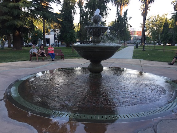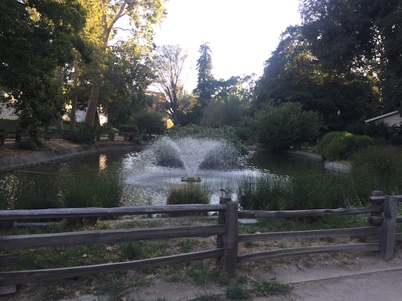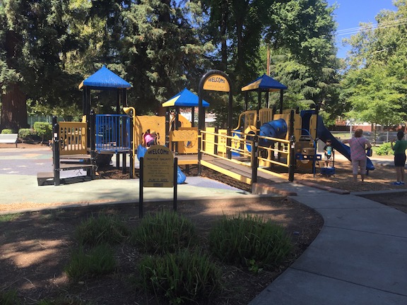
I have long been interested in access to parks, what the availability of parks is to people, and wanted to map this. It is just today that I was finally able to start doing this. I acknowledge the support of the Sacramento Area Council of Governments (SACOG) GIS staff, without which I could not have done this, as my ArcGIS skills are limited, though growing, and my access to the needed data is also limited.
This issue of access to parks, always important, is suddenly critical under the pandemic, with people needing places to walk where they can achieve physical activity with appropriate physical distancing. With many neighborhoods in Sacramento not having sidewalks, or having narrow sidewalks (six feet at best, often five feet, sometimes four feet or three feet; yes, three feet!), and some of those who are still driving doing so very recklessly, sidewalks in and of themselves don’t make it for large areas of Sacramento.
Advocates all over the US, and the world for that matter, have asked that cities and counties open up streets for walking and bicycling, sometimes by prohibiting drivers and their motor vehicles, sometime allowing only local access. In the US, Oakland has become the leader in this (Oakland Slow Streets), though many other cities have implemented programs as well. The City of Sacramento is also considering this, with staff working on a proposal, though it is not known yet what it will look like, or if it will be adopted. A number of people have made suggestions for streets to ‘close’ (meaning open to walkers and bicyclists), but the nature of advocacy is that many of these suggestions have been for areas that have sidewalks, and that have parks, because these are the areas where many advocates live. I’m not saying they are wrong, but I want to do my part to see that open streets occur in the areas that most need them, which is almost always the low-income, disinvested areas of north Sacramento/Del Paso Heights and south Sacramento.
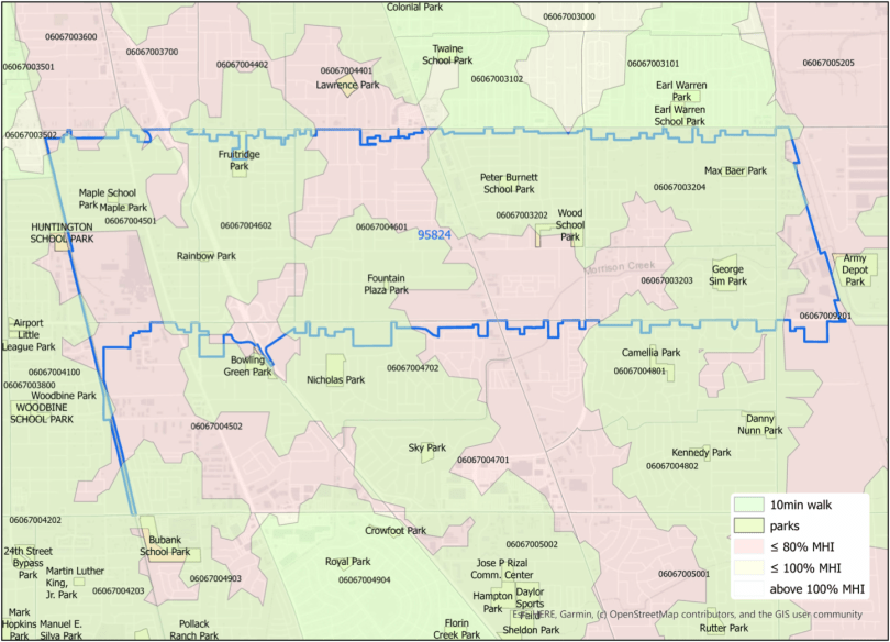
So, I picked two zip codes to map. One is 95814, the central city downtown, and the other is 95824, an area of south Sacramento (which includes both City of Sacramento and unincorporated Sacramento County).
The maps shows the park locations (from the SACOG Regional Parks & Open Spaces 2018 data), and the 10-minute walking area around these parks. The reason I picked 10 minutes is the initiative by the National Parks and Recreation Association (NPRA) and partners: “We’re inspiring and enabling action to create a world in which 100% of people in U.S. cities—LARGE AND SMALL—have safe access to a quality park or green space within a 10-minute walk of home by 2050.” I’ve also included the Median Household Income for census tracts (ACS Median Household Income S1903 2013-2017). On the 95824 map, you can see that the entire zip code is less than 80% of California MHI ($67,169), a disadvantaged community. On the 95814 map, the 10-minute walking area covers up the MHI, but nearly the entire area is also below 80%.
Please note that there are many ways of mapping park access. In this case, I used park centroids (the geographic center of the park), which makes sense for smaller parks, but doesn’t work as well for large parks, and parks which are contiguous but named differently. There are also many ways of looking at disadvantaged community status, and at demographic characteristics. I chose ones that I had worked with before, and other criteria would yield different results. I’ve used zip codes here, though I think that if the cities and county actually analyze the data for need, census tracts are the better polygon size. Census tracts are less familiar to people than zip codes, but census tracts often more accurately represent what people think of as their neighborhood.
So, now with the maps. The first is 95814, downtown Sacramento, and the second 95824, south Sacramento. Clicking on the graphic map will bring up the option to download a pdf.
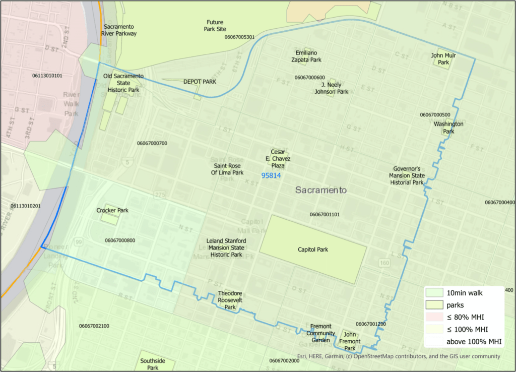

As you can see, the entire 95814 zip code has access to a park within a 10-minute walk. The 95824 zip code, however, only about half the area has access. Very different places! Therefore, I would recommend that the 95824 zip code, for example, needs open streets, now, and the 95814 zip code does not.
I welcome your feedback on these maps. What would you like to see? What data should I be considering? Do you see issues of access and space for social distancing in this way, or another way? What areas do you want to know about?