coffee shops (tea) on the grid

2024-01-07 update since the original post: Anchor and Tree Coffee (16th St) has soft opened, Flow State Coffee has closed, Milka Coffee has a second location on R St, Pressed is probably closing and has shorter hours, Tupi Coffee has moved to 8th St, and I missed Tiferet on the Park Coffee on H St in my original post. The spreadsheet and slide show have been updated and will be further. Note that the spreadsheet image seems to offer clickable links, but does not; you must use one of the other formats.

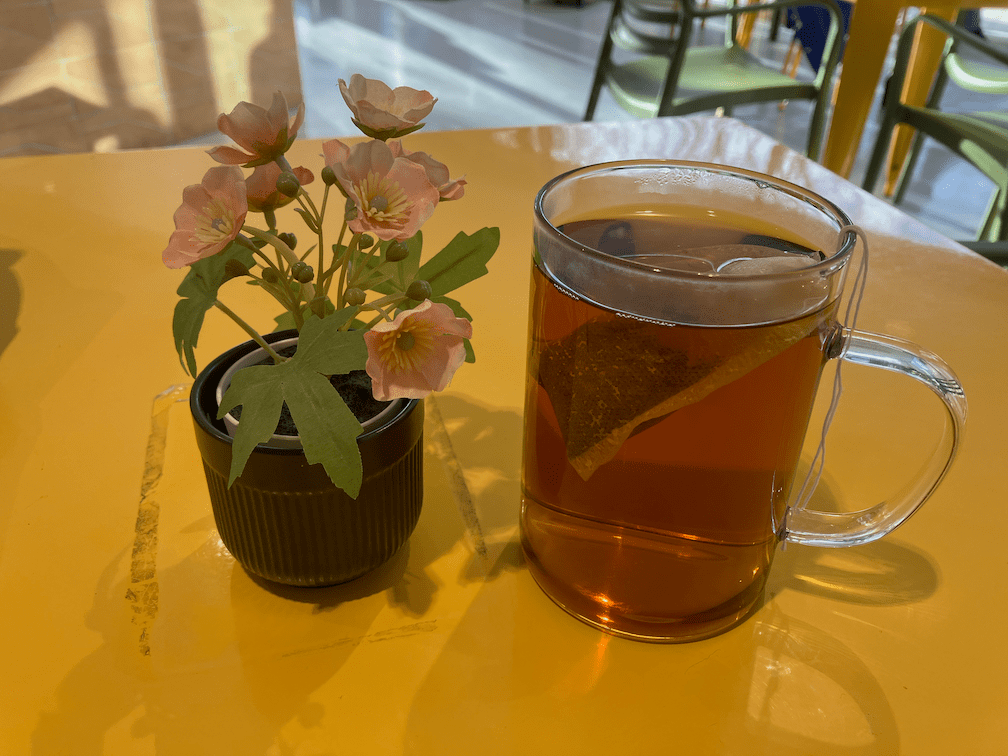
Disclaimer up front: I don’t drink and don’t even like coffee, but I do drink and love tea, and the majority of coffee shops offer tea as well, but most other businesses do not. So I can tell you absolutely nothing about the variety or quality of coffee at any of these shops.

I have long believed that the frequency of locally-owned coffee shops is a key indicator of livability and walkability. Though I’ve not done the calculations, I think this measure would be just as effective a ‘walk score’ as the WalkScore offered by Redfin, which uses a complicated and proprietary algorithm to determine walkability, measured as distance to amenities. Note that WalkScore does not assess the walking environment such as presence or condition of sidewalks, and safety of crossing streets.

I live in the Sacramento central city, the area bounded by the Sacramento River to the west, Broadway to the south, Alhambra Avenue to the east, and the railroad tracks to the north. I have focused my coffee shop visits on this area. Though there are certainly coffee shops throughout the urbanized county, the number of locally-owned coffee shops drops off rapidly outside the central city. In much of the suburbs, there are only chain coffee shops such as Starbucks and Peets.

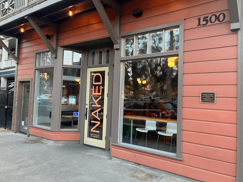
My preferred locally-owned coffee shop is Naked Lounge, on the southeast corner of Q Street and 15th Street, across from Fremont Park. I go there for tea, and for socialization. For those who remember ‘the old days’ when people socialized more and spent less time on their computers, yes, I miss those days. Some days I write in my journal, some days I read, some days I talk to people, and yes, some days I too work on my computer.

If you also like to drink tea at home, as I do, I recommend Tea Cozy, 1021 R Street, next to Fox and Goose, with a very large and diverse offering of bulk and packaged teas. And in Davis, Mishka’s Cafe, 610 2nd Street, offers a selection of tea unparalleled in the region, so far as I know.

Below is the table I compiled, along with pdf, Numbers, and xlsx versions. The columns are what interested me, and the ratings are entirely my own, not based on any scale. Reuse means they offer reusable cups for tea and coffee service, outdoor means they offer outdoor seating, and tea indicates my take on the number and variety of teas offered.

grid coffee spreadsheet static image

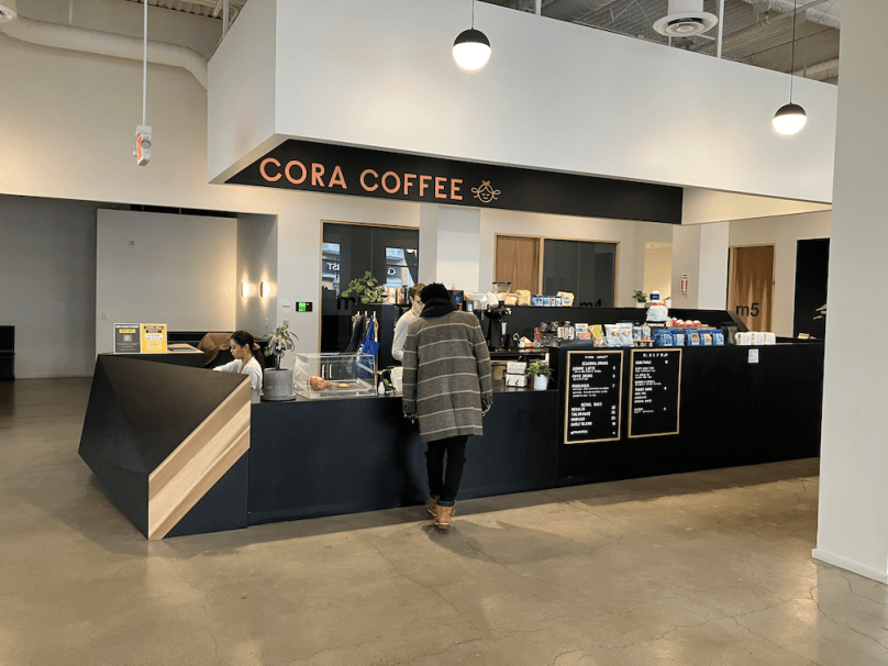
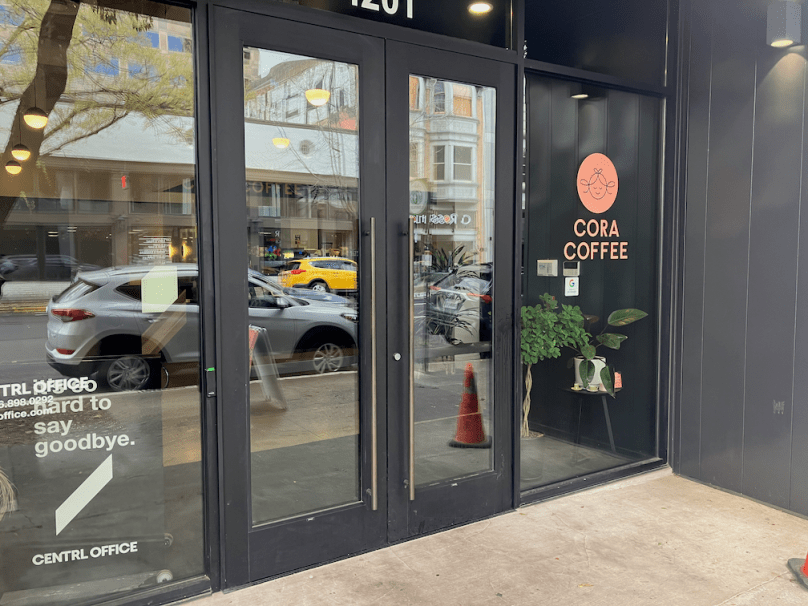
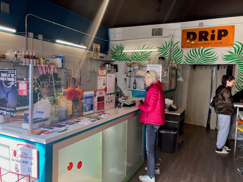
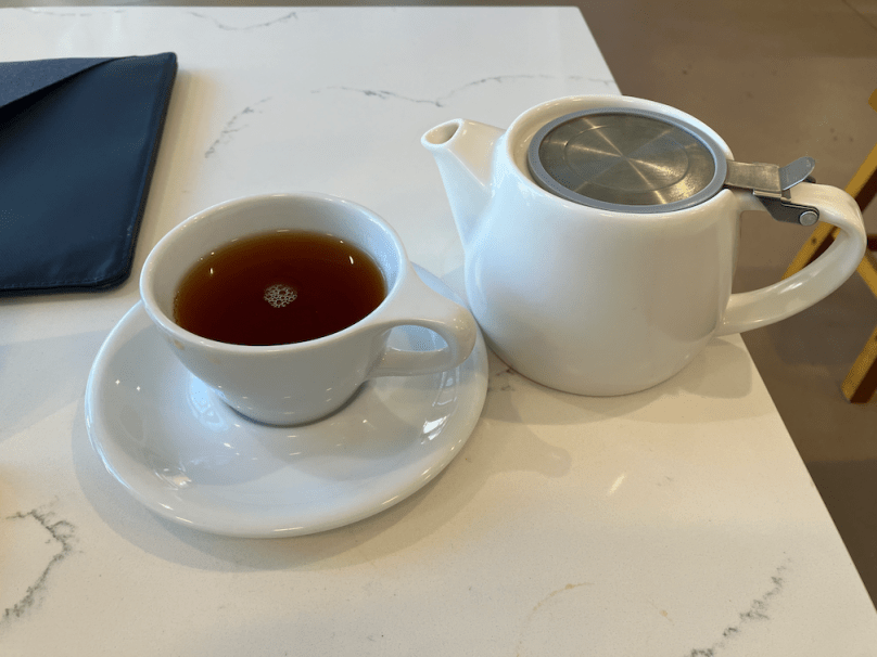
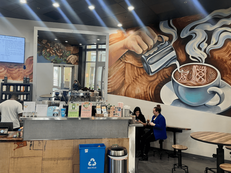
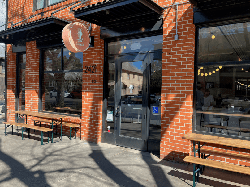
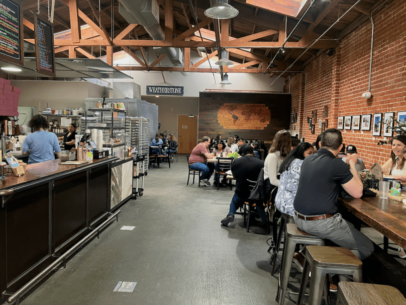
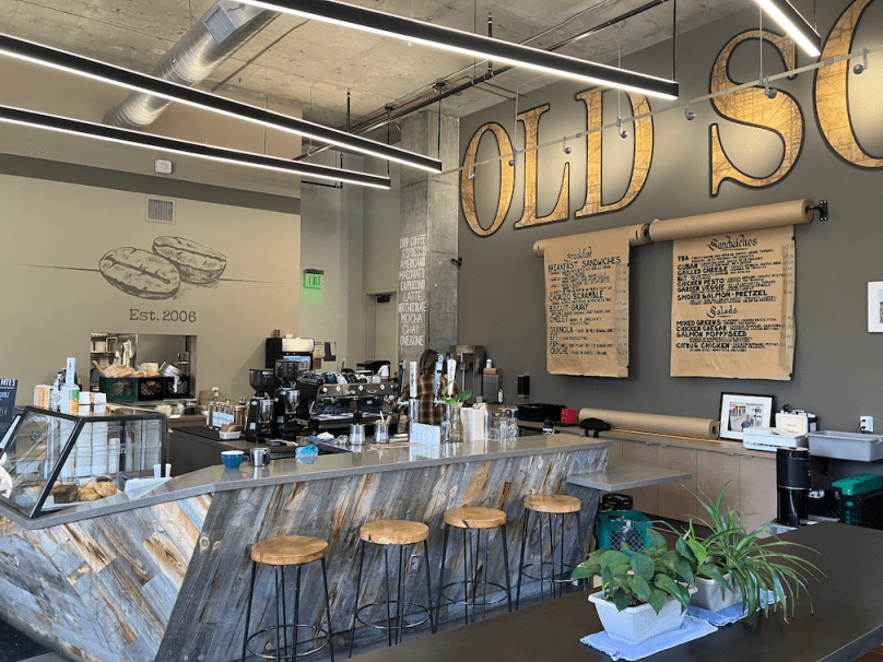
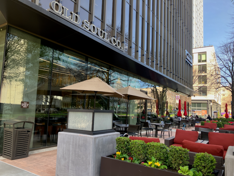
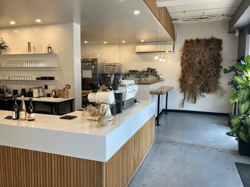
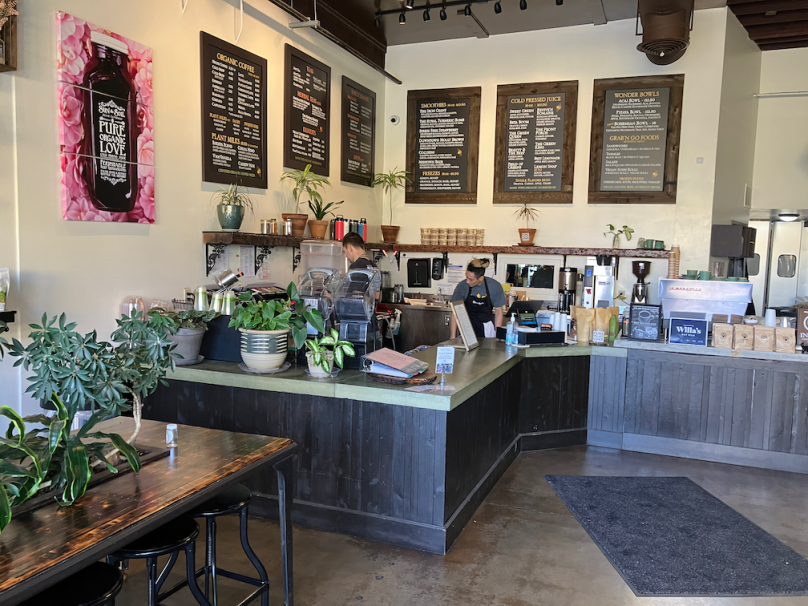
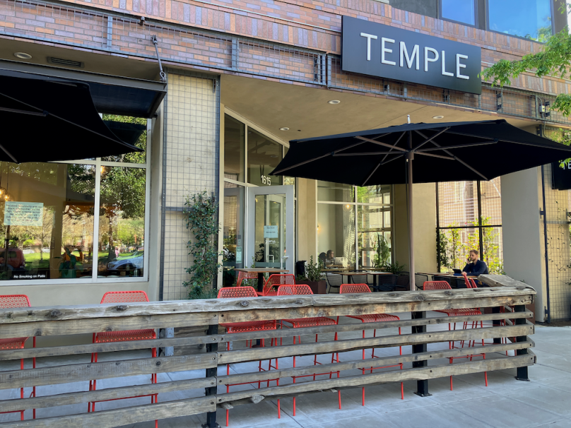
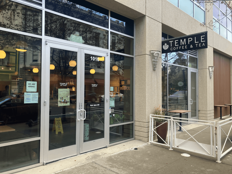
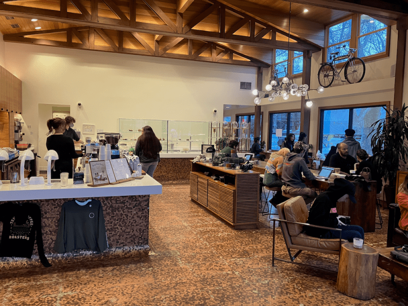
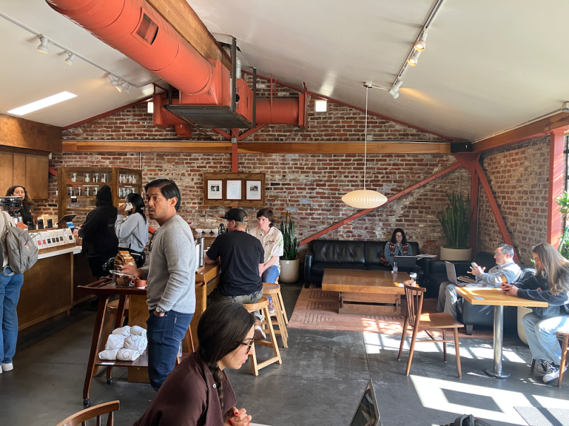
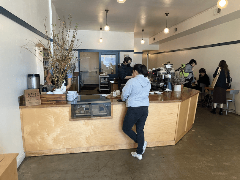
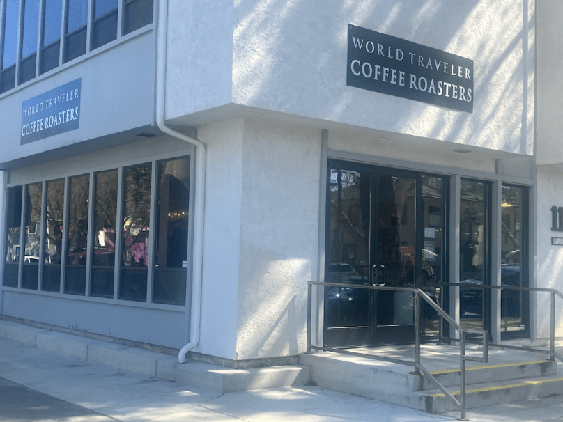
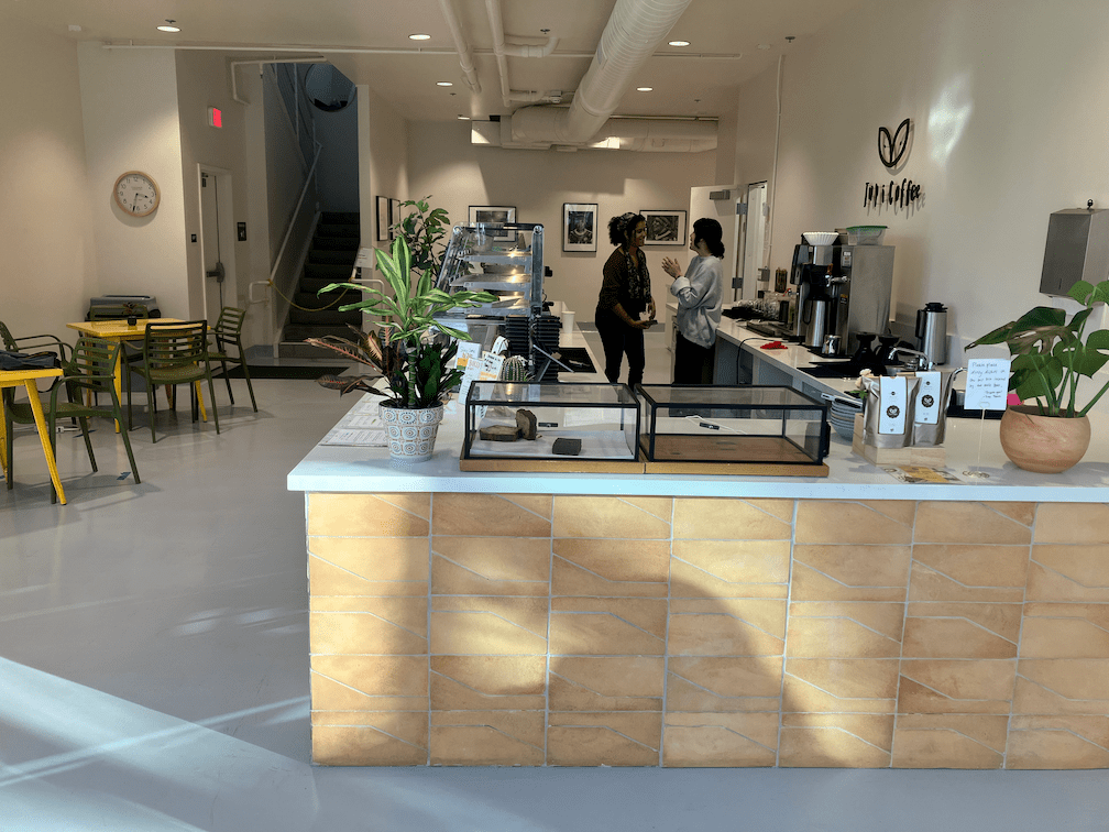
I visited each coffee shop location on the grid. I attempted to take a photo of each, outside and inside. I also started taking photos of the tea service, but didn’t start at the beginning so only a few are in the slideshow.

Grids are Good

This post was inspired by one on Strong Towns: Grids are Good. I’ve written about grids before (re-gridding Sacramento, trenching and decking Interstate 5, Sacramento Riverfront Reconnection, Phase 1) but it is a topic worth repeating.

The Sacramento central city is a complete grid, and so are some areas to the east and south of the central city, but the grid is broken by Hwy 50 to the south and Business 80 (Capitol City Freeway) to the east. The further from the central city one gets, the less likely there is to be a grid. Often major arterials still are on a grid, but not always, even some of them are broken. All of the freeways limit crossings. Local streets that used to go through do not. In general, the lower the income of the neighborhood, the fewer streets are carried through by underpasses or overpasses. This was an intentional design by Caltrans, intended to break up lower income neighborhoods and to isolate them from higher income neighborhoods. The principles of redlining were not just about home loans.

In a region with two major rivers, the American and Sacramento, the grid will of course be limited. However, I will point out that the Sacramento region has three bridges across the Sacramento and nine bridges across the American. Portland, a city of similar population but a bit less sprawling, has 12 bridges over just one river, the Willamette.

I worked for several years in the City of Citrus Heights. The saying was ‘it doesn’t go through’. Very few streets are through streets, and there is really nothing resembling a grid at all. This is not an accident, it was an intentional design decision by the county and developers to create street system that didn’t connect, because it was thought to provide a feeling of ruralness, of a peaceful suburb. Of course to get anywhere, everyone has to drive everywhere, so every street has too much traffic, and the major roads are congested much of the time. Ironically, the one remaining historically rural/agricultural part of the county, Orangevale, has a better street grid that any other suburb in the county.

Railroads also break up the grid. In many cases, though, the railroad alignments predate most of the development.

The lack of a grid is why our transportation system does not work well, why our transit system does not work well. Though there are opportunities here and there to reconnect or create a grid, the lack of a grid is something we will have to live with, forever, or at least until the ungridded suburbs die of their own weight (meaning not enough tax income to sustain them).

This is a superficial analysis. I would like like to get more specific about locations where the roadways network was intentionally broken or designed to be broken, and where the grid could be healed.

re-gridding Sacramento

J Street, from Old Sac - you can't get there from here!
J Street – you can’t get there from here! *

Traffic circulation, for everyone, is handicapped or prevented by an incomplete grid system in downtown and midtown Sacramento. Three recent posts have addressed this issue, I’m thinking about several more, and several posts over the last year were also on the same topic. So I created a new category for the Getting Around Sacramento blog, re-gridding Sacramento.

Re-gridding is an awkward phrase, but I haven’t come up with a better one yet, so I’ll use it for now.

Read More »

5th Street mess at Sac Valley Station

With this post, I’ve added a new category to my blog: re-gridding Sacramento. I’ll have more to say about that category, and many more posts, in the near future.

Sac Valley Station exit, forced right

5th St to I St, forced right turn


Let’s say one was driving and wanted to leave the Sacramento Valley Station (Amtrak and Capitol Corridor) to head southbound or eastbound. Tough luck. The exit at the east end of the parking lot forces you to turn right, to the south, onto 5th Street. I often see people turning across the double yellow line to go northbound on 5th Street, and to be honest, I don’t blame them, because this is the logical though illegal way to go south or east.

Read More »

Sacramento Riverfront Reconnection, Phase 1

2nd Street extension to Capitol Mall

SACOG in the 2013 funding round allocated $9M to the Riverfront Reconnection project in the City of Sacramento. This phase extends 2nd Street from Old Sacramento to Capitol Mall, providing an easier access to Old Sacramento, and also adds sidewalks to O Street and improves sidewalks and bike lanes on Capitol Mall between 3rd Street and the Tower Bridge. The overall purpose is to create or restore connections between downtown Sacramento and Old Sacramento which were severed by Interstate 5.

Read More »