more Central City Mobility Project

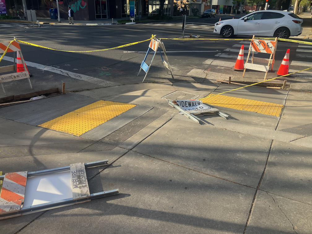
This is Central City Mobility Project update #5.

The City of Sacramento’s Central City Mobility Project is underway, and projected to finish by next May. The map below shows the major components of the project: new parking protected separated bikeways on 19th Street and 21st Street between W Street and I Street, extended parking protected separated bikeways on P Street and Q Street from 15th Street to 21st Street, a separated bikeway (not parking protected?) on I Street from 21st Street to 12th Street, and conversion of 5th Street from a one-way street to two-way from Broadway to I Street (the two-block section from L Street to J Street is already two-way). The project also includes upgrades of corner ramps to ADA compliance along 21St, 19th, P, Q and I streets. I notice that ramp upgrades are also occurring at some locations other than these streets, whether under this project or a separate initiative, I’m not sure.

Central City Mobility Project map

As far as it goes, this project looks to be great. The city is making an effort to create a grid of higher quality bicycle facilities in the central city, of a mile spacing, or less. But a bicycle network is only as good as it’s weakest spot, and this project leaves several weak spots in the grid. The map below highlights some of these, shown in cyan color:

  • P Street and Q Street parking protected separated bikeways should be extended west to 5th Street, which would include a reduction of lanes on those streets. Stopping the bikeways at 9th and 10th Street reduces access to Sacramento Valley Station, as well as many other destinations in this area, including using the Tower Bridge to access West Sacramento.
  • 9th Street parking protected separated bikeways should be extended from Q Street south to Broadway, to provide access to the higher quality bikeway along Broadway, and points south of Broadway.
  • I Street separated bikeway should be extended from 12th Street west to 5th Street, created a complete bikeway from 21st Street to Sacramento Valley Station.
  • J Street parking protected separated bikeway should be extended east from 5th Street to 19th Street, to proved a complete bikeway from 5th Street to 28th Street.
  • A separated bikeway should be constructed on 28th Street to provide a high quality bike route parallel to the unsafe 29th Street one-way southbound traffic sewer and 30th Street one-way northbound traffic sewer.
  • Regular bike lanes, at a minimum, should be installed on 13th Street between P Street and Capitol Park. 13th Street is one of the most heavily bicycled north-south routes in the entire central city, but this two block gap makes that trip less safe.

It is also possible that the P Street and Q Street bikeways should be extended east at least to 28th Street, or beyond, but I haven’t looked closely at that yet.

Central City Mobility Project map with recommended additions
Read More »

update on SacCity ADA ramps

Note: I discovered that I have often used ‘detectible’, but should have been using ‘dectectable’ for detectable warning strips.

This is Central City Mobility Project update #2.

This is an update to the update on work being done on corner ADA ramps in the Sacramento central city, apparently as part of the Central City Mobility Project.

So far as I have seen, curb extensions are not part of this project.

There are now a number of locations where the concrete ramp is being cut so that the detectable warning strip can be installed, but the curbs are not being touched. See below for an example.

Q-St & 16th-St, SW corner, ADA ramp construction

One of the corners I have been monitoring, 21st St and O St northeast corner, is complete, but with temporary patches that make the ramps useable, though ironically still blocked by folding barricades and caution tape, which absolutely does not meet ADA guidelines for contruction signing and safety. This seems to be the pattern with the city, trying to make things better, but not paying attenteion to the details. I don’t know when the asphalt will be restored and the corner opened. Maybe the contractor is waiting until all the corners are ready before patching, though that would be stupid.

21st-St & O-St, NE corner, completed corner with ADA ramps

I am still not able to make sense of the asphalt cuts that are being done on the corners where the curb will be or has been modified. I’m guess that there was a standard cut design, implemented everywhere, no matter what the actual project.

Walking around the central city, it appear that most of the corners which did not have ADA-compliant ramps will have them when the project is done, but some may not. I don’t know what the criteria is for which corners are being done, and which are being done at a higher level of replacing the curbs and widening the ramps. Many of the existing ramps are narrow, with edging curbs, which was apparently the design at the time they were placed, but the new corners are a different design, with a sloping area between the two ramps, similar to the diagram below, from the 2020 Department of Utilities Standard Specifications: Transportation drawings, not from the 2009 Department of Public Works Street Design Standards, which contain no ADA diagrams. I think the detectable warning strip width is at least 60 inches on the new installations, which is an improvement. The 48 inch width does not allow two people to stand on the strip. Corners with new curb extensions seem to have 72 inch strips.

SacCity T-76 Curb Ramp Dual Combination Planter diagram
SacCity_T-76_CurbRampDualCombinationPlanter

separated bikeways and bus routes

The City of Sacramento started a design with protected bikeways on streets with significant bus traffic on P Street and Q Street in downtown Sacramento. I live on P Street, so see use of the bikeway on a daily basis. It works OK. P and Q are not heavily biked streets, and the separated bikeways are not heavily used, but they are OK. And actually, P Street doesn’t work well for buses. Since much of the bus traffic is commuter buses, a lot of them over a short period of time, there is often a stack-up of buses blocking traffic and interfering with each other at a stop opposite me on P Street at 13th Street.

Note: I’m using the term separated bikeway here because it is the term in state law, and therefore planning and engineering documents. Most people call these protected bike lanes, or sometimes cycletracks, though the term cycletrack is more commonly used for two-way bike facilities. Use whatever term you’d like!

On Q Street eastbound, the separated bikeway transitions to a bike lane at 14th Street. Since there are bike lanes on both sides of Q Street to the east, a bicyclist a decide where to transition to the right side of the street. This works OK.

On P Street westbound, however, it is a completely different story. The separated bikeway ends at 9th Street. To the west there are no bicycle facilities of any sort. It is a three lane traffic sewer (what I can three or more lane roadways, the purpose of which is solely to flush traffic in and out of downtown). With the construction going on all through downtown, P Street is and has been reduced to two lanes is several places, and with state workers mostly working from home, there is much less traffic in downtown. Nevertheless, the design is fatally flawed. I use the term ‘fatally’ on purpose – it is a design likely to result in bicyclist fatalities.

Read More »