The City of Sacramento sponsored Envision Sacramento website seeks input from the public on a number of issues. One of the topics was “What are your ideas on improving the Old Sacramento connection from downtown Sacramento via I Street?” You can view the comments, just below the survey, but to comment yourself you must create an account.

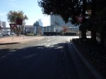
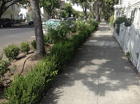
The topic uses the photo at right to illustrate the question. What you can’t see in the photo is that behind the photographer and across 3rd Street (to the left), pedestrian access is on the south side, but to the west, it is on the north side.
Comments include a number about the aesthetics of this entrance to Old Sacramento, including the having a dark freeway under crossing as the main route into the one of the highlights of Sacramento, with poor signing for motor vehicle drivers, bicyclists, and pedestrians. A surprising (to me) number of comments, though, were about the transportation aspects, that it is really not safe for bicyclists or pedestrians to use this entrance, even if they know it is there, and the paucity of other options. I think it is clear that the commenters agreed that the way in which Interstate 5 severed the connections between downtown and Old Sacramento is a major issue.
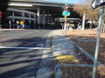
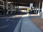
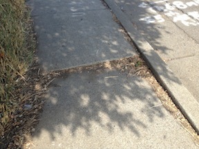
A gallery of photos shows some of the specific problems at this location.
Read More »