Civic Thread has posted a petition to Caltrans, SACOG, City of Sacramento, and others in the region asking for immediate action to eliminate pedestrian and bicyclist fatalities. I encourage you to sign the petition, and to follow the efforts of Civic Thread and many other advocacy organization in holding government and particularly transportation agencies accountable for the traffic violence that impacts us all. As with everything that Civic Thread does, action is through an equity lens. It would be a great first step if every agency adopted the list of five commitments that Civic Thread says is required, though of course it is action and not language that will make the difference.
- A commitment to work collaboratively and cross-sectorally at the City, County, and regional level to prioritize a consistent focus on equity and racial justice for project planning, funding, and implementation, particularly since evidence continues to show the majority of pedestrian and cyclist fatalities occur in low-income, communities of color, with Black residents disproportionately experience the highest risk of death while walking, in addition to a high risk of being killed by police in routine traffic stops.
- A commitment to prioritize funding mechanisms and set aside funding within the city, county, regional, and state budget for active transportation programs, Safe Routes to School, and matching funds for state and federal funding programs at the local jurisdiction level.
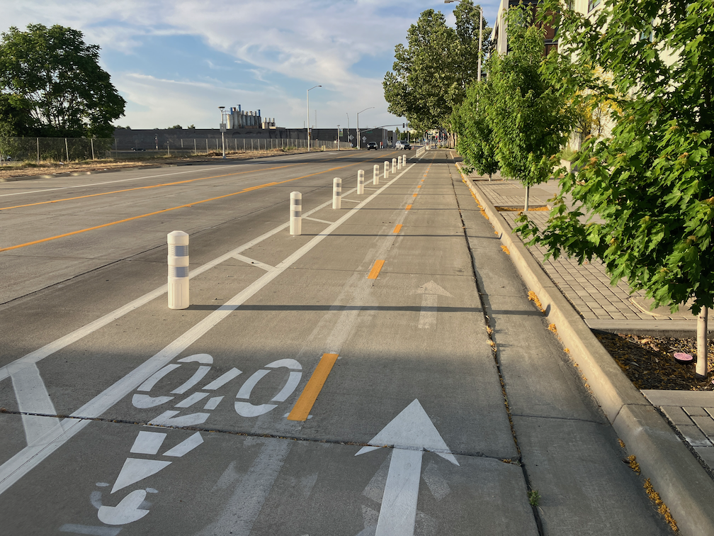
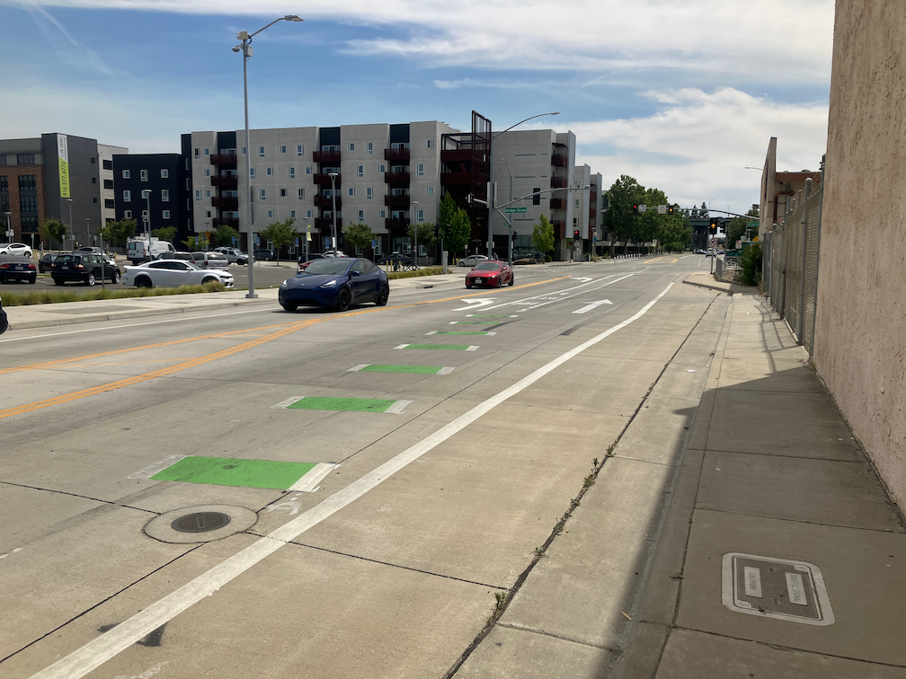
- A commitment to thoroughly vet community proposed infrastructure recommendations and to work closely with neighborhood groups and residents to identify solutions and ideas the community supports, including road diets, speed reduction, and quick builds along High Injury Networks.
- A commitment to analyze current roadway conditions, transportation design policies, and guidelines and develop a plan to address design flaws equitably and immediately.
- A commitment to building a comprehensive, seamless, low-stress network of active transportation corridors that is centered on equity and prioritizes investment in low-income and environmental justice communities.