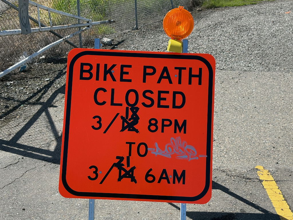
California Streets and Highways Code (SHC) Division 7, Part 3, Chapter 22, Article 2: Repairs, states that the responsibility for repairing sidewalks lies with the adjacent property owner. This is, on its face, unconstitutional, regardless of state code. The state is saying that a government agency can require a property owner to maintain property that belongs to the government, without any compensation. It has long been hoped that a public interest entity would sue the state to declare this code unconstitutional, but so far that has not happened. The ability of the public to sue is overmatched by the power of the cities and counties to fight any such lawsuit. Therefore, it is imperative that the legislature remove this unconstitutional requirement from state law.
It is worth noting that this code dates from 1941. Society’s view of the responsibility of governments to its citizens, what characterizes a livable and walkable place, and equitable transportation systems, have evolved considerably since that time. State law, on the topic of sidewalks, has not.
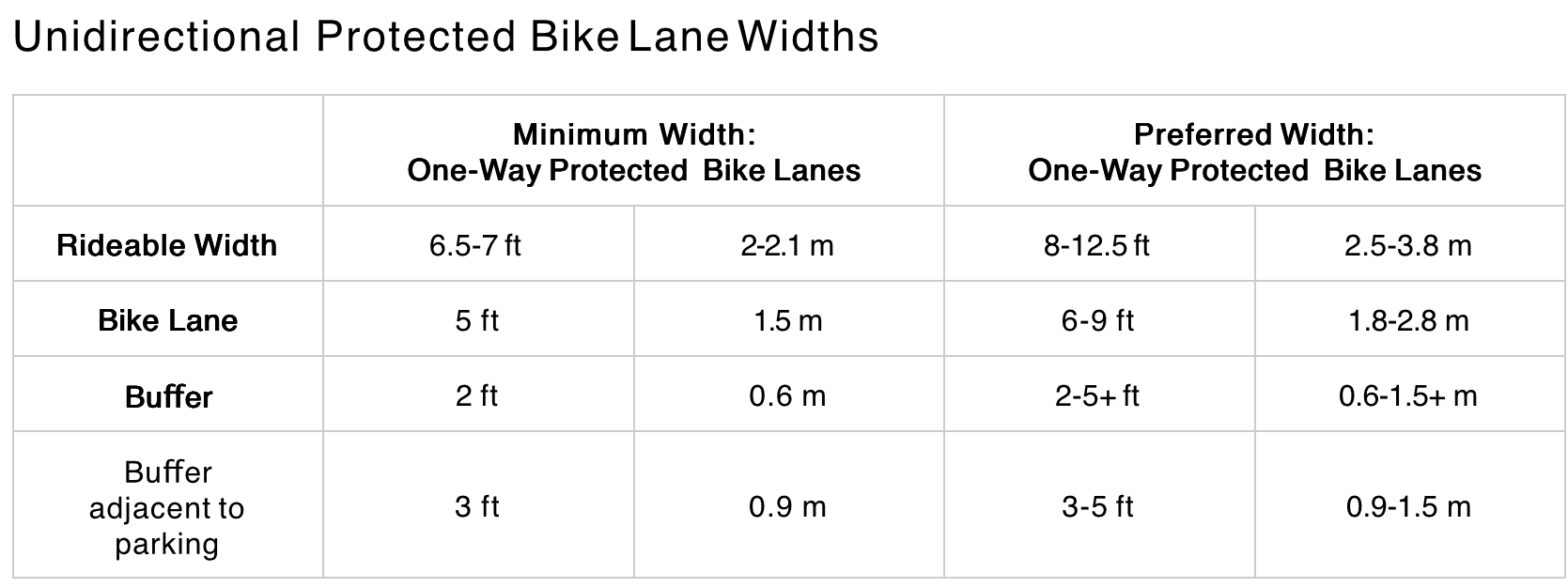
Code defines sidewalk (paragraph 5600): “As used in this chapter “sidewalk” includes a park or parking strip maintained in the area between the property line and the street line and also includes curbing, bulkheads, retaining walls or other works for the protection of any sidewalk or of any such park or parking strip.” The lack of a definition for ‘parking strip’ is concerning. Is it the buffer area, or does it include parking areas on the roadway? Does the use of this term allow people to park motor vehicles in the buffer? The code is vague.
It is not clear that state code should require, or not require, adjacent property owners to maintain the ‘park or parking strip’, most commonly called sidewalk buffers. These buffers are not part of the transportation network, but they are a key part of enhancing walkability and overall livability through provision of shade trees.
Note that this does not address the day-to-day maintenance of sidewalks in the sense of removal of leaf fall and snow. However, neither does existing code. This is left to policy of the individual city or county, as it probably should be.
The replacement language would be very simple. Chapter 22 would read:
“Sidewalks and curbs are an integral part of the transportation network, and will be maintained for the benefit of all citizens using all modes of transportation, in a state of good repair, under the same requirements that apply to adjacent roadways.”

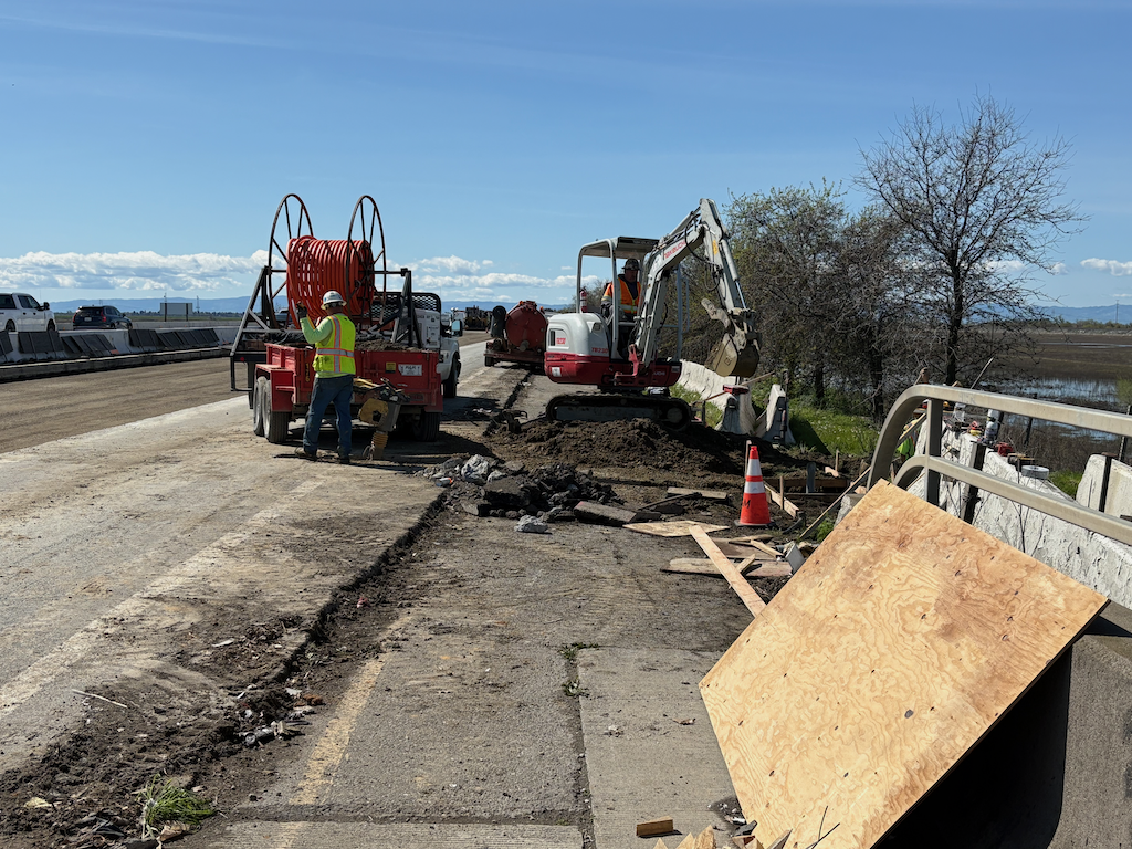
It is worth noting that the most poorly repaired sidewalks are often adjacent to government-owned property. Governments seem to view this code as applying to private property owners, and not to themselves.
Nothing in state law precludes a local government, city or county, from taking on responsibility for repairing sidewalks. They generally have not done so, because by shifting the responsibility for maintaining part of the transportation network onto private citizens, they can spend more money on infrastructure for motor vehicles. That is the real reason for this state law, and its continuance into modern times.