Streets for People Active Transportation Plan has posted an interactive map on which people may make comments on proposed projects, or add their own points or lines. There are visual galleries for pedestrian infrastructure and bicycle classes, but they overlay the map so can’t be viewed while viewing the map. The visual galleries have been captured and made available here. This post is the pedestrian infrastructure gallery, next will be the bicycle classes gallery.
These elements are not exhaustive. There are several elements in the Streets for People Neighborhood Connections storymap traffic calming tab which can be used on the interactive map as well. And you may add your own.
Note: Photos are not from Sacramento. These galleries and the elements they contain are re-used from projects in other cities.
Visual Glossary of Pedestrian Infrastructure
Note: Also available as a pdf.
Sidewalks
Provide an area for people walking to travel separated from vehicle traffic. Typically constructed out of concrete and separated from the roadway by a curb or gutter and sometimes a landscaped buffer.
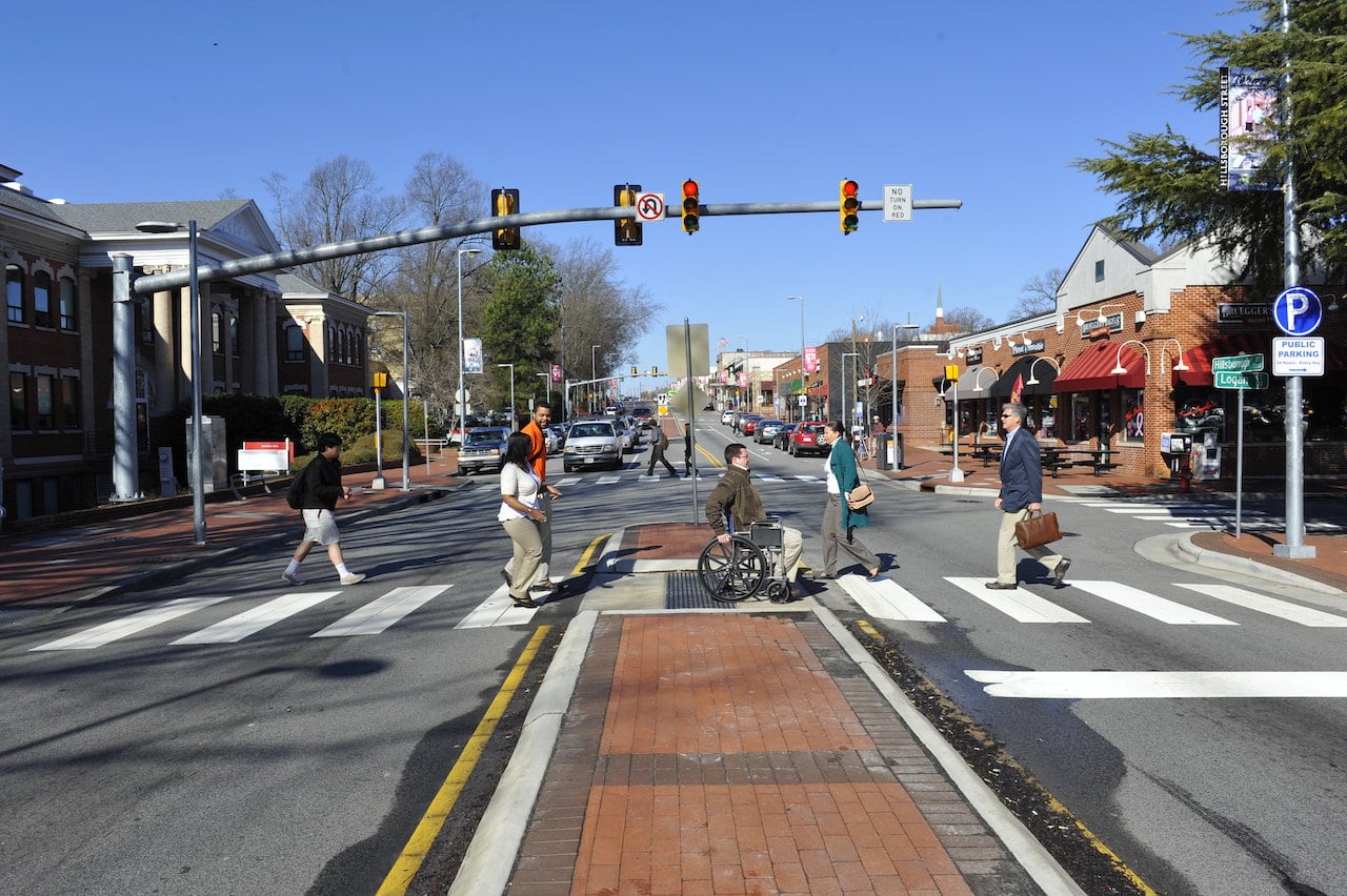
Median Refuge Islands
Median refuge islands shorten the crossing distance for people biking and walking and increase their visibility.
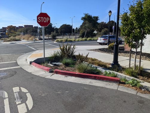
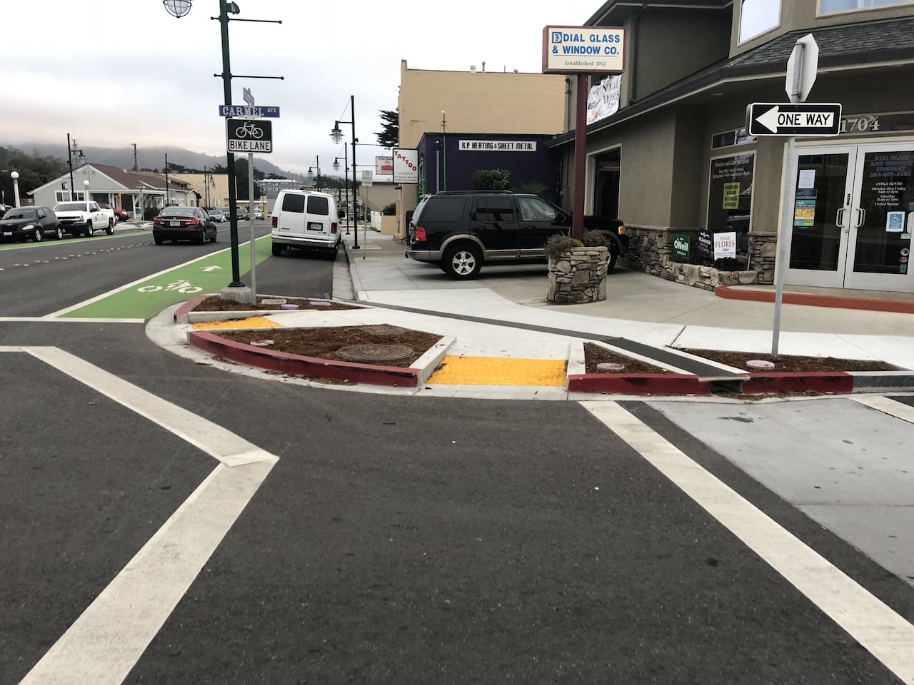
Curb Extensions
Curb extensions extend the curb into the street and improve visibility at intersections, and slow vehicular turning speeds.
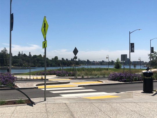
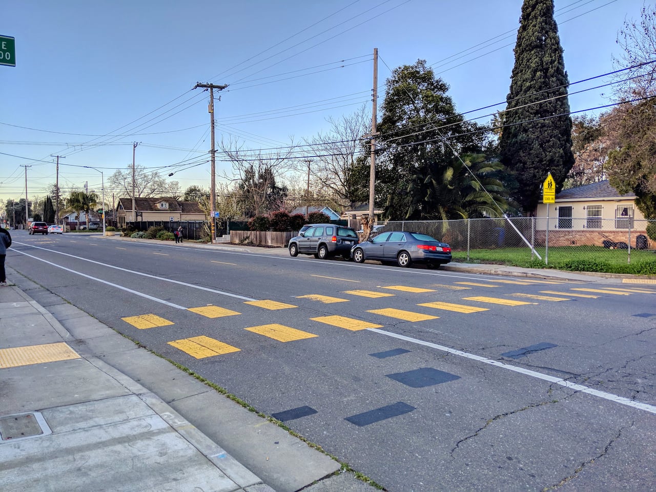
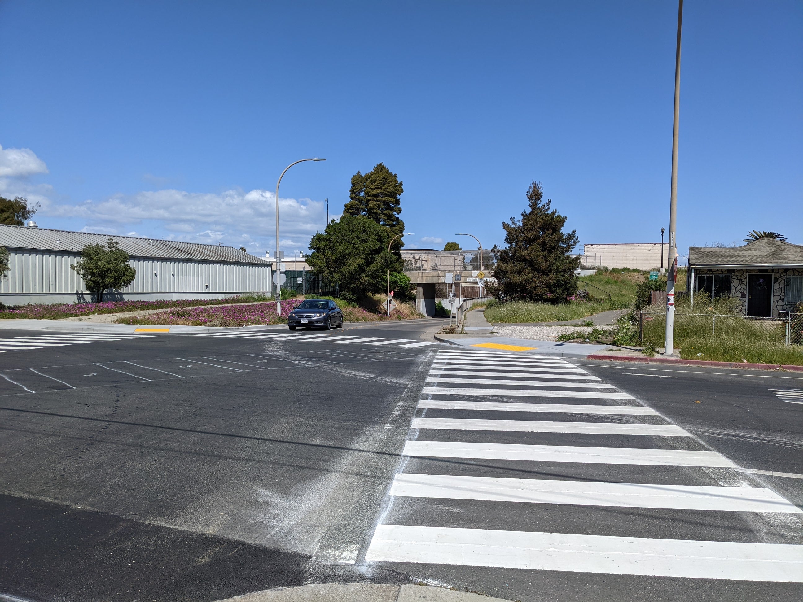
New/Enhanced Crosswalk
Marked crosswalks make motorists aware that they must yield to pedestrians.
Pedestrian Hybrid Beacon
Pedestrian Hybrid Beacons are used to improve unsignalized intersections or midblock crossings of major streets. They are only activated when pedestrians or bicyclists are present, resulting in minimal delays for users.
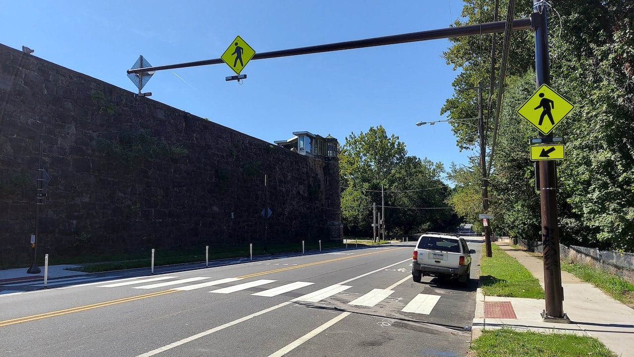
Rectangular Rapid Flashing Beacon
Rectangular Rapid Flashing Beacons (RRFB) are a type of active warning beacon used at unsignalized crossings. They are designed to increase motor vehicle yielding compliance on multi-lane or high-volume roadways.

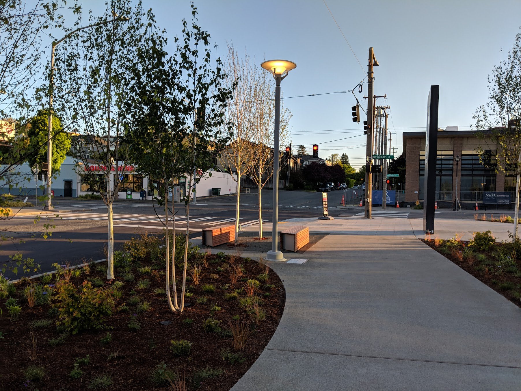
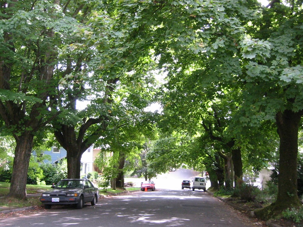
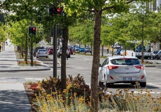
Shade Trees
Can increase comfort for people walking and biking by lowering temperatures, filtering air and water, and improving the quality of both.

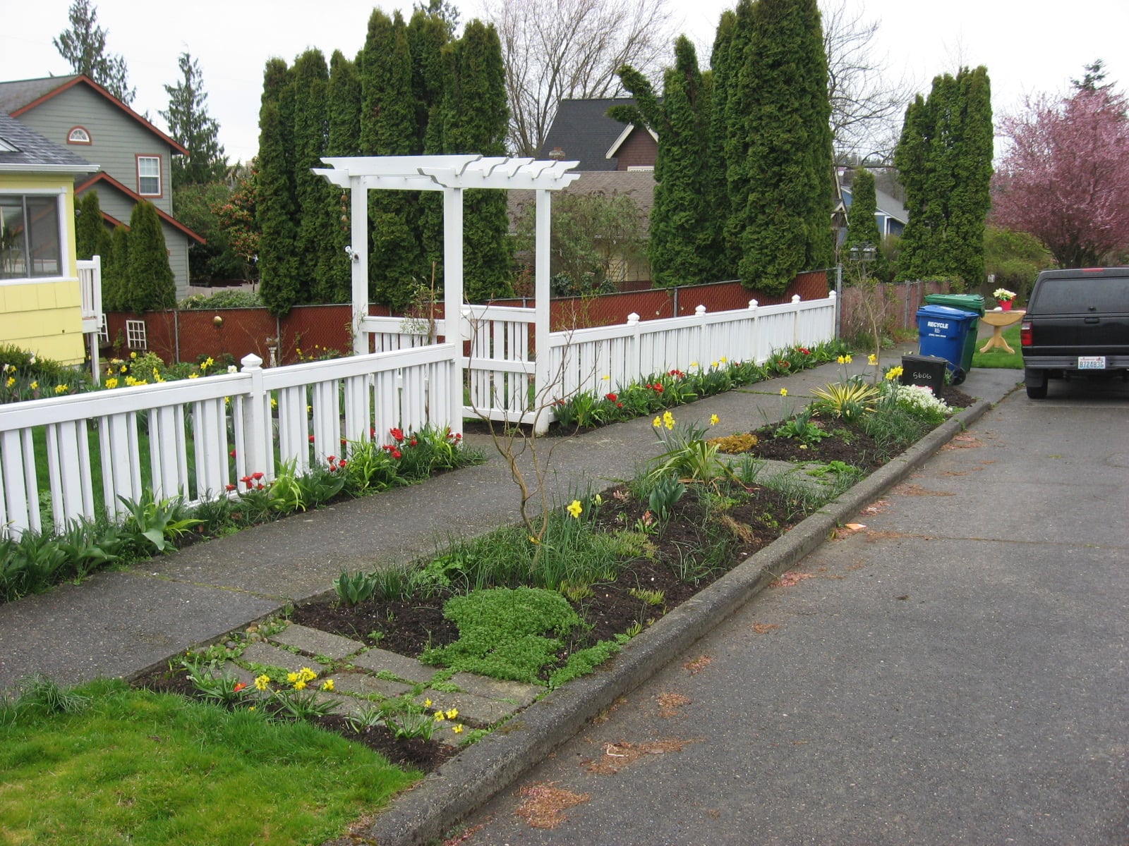
Planting Strips
Create expanded space for roots so trees can grow faster;share nutrients; better resist disease, pests, and drought; and live longer. Can serve to capture storm-water recharge, and potential storage opportunity.

[…] interactive map offers visual glossaries for pedestrian infrastructure and classes of bikeways. Since you can’t have these glossaries open at the same time as the map, […]
LikeLike