Streets for People Active Transportation Plan has posted an interactive map on which people may make comments on proposed projects, or add their own points or lines. There are visual galleries for pedestrian infrastructure and bicycle classes, but they overlay the map so can’t be viewed while viewing the map. The visual galleries have been captured and made available here. This post is the classes of bikeways gallery.
These elements are not exhaustive. There are several elements in the Streets for People Neighborhood Connections storymap traffic calming tab which can be used on the interactive map as well. And you may add your own.
Note: Photos are not from Sacramento. These galleries and the elements they contain are re-used from projects in other cities.
Visual Glossary of Classes of Bikeways
Also available as a pdf.
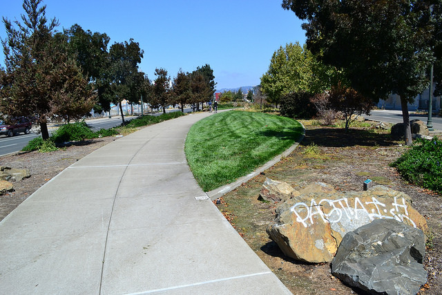
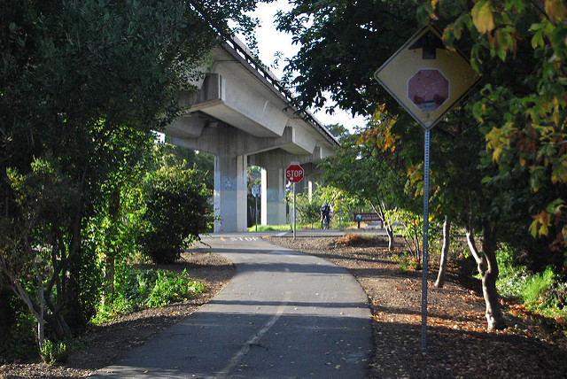
Shared-Use Paths
Paths shared by people walking and biking completely separated from motor vehicle traffic. These facilities tend to be comfortable for people of all ages and abilities.
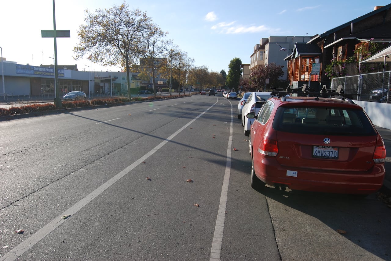
Bike Lanes
A painted lane that provides dedicated roadway space for people bicycling. Bicycle lanes work best on lower-speed roadways.

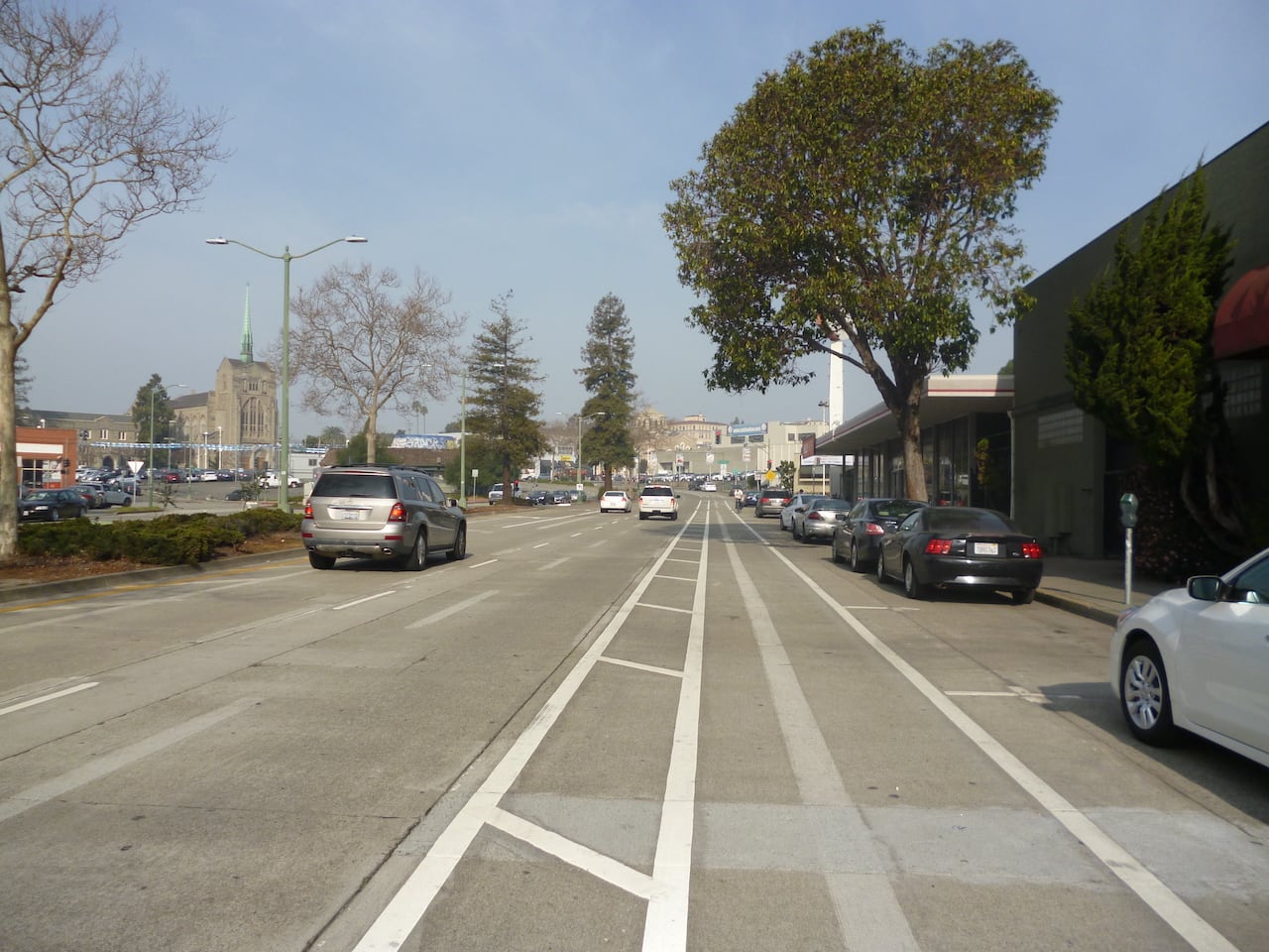
Buffered Bike Lanes
Dedicated lanes for bicycle travel adjacent to motor vehicle traffic and enable people biking to ride at their preferred speed without interference from cars or traffic conditions. They include painted lane lines or buffers that provide space between motor vehicle traffic or parked vehicles.

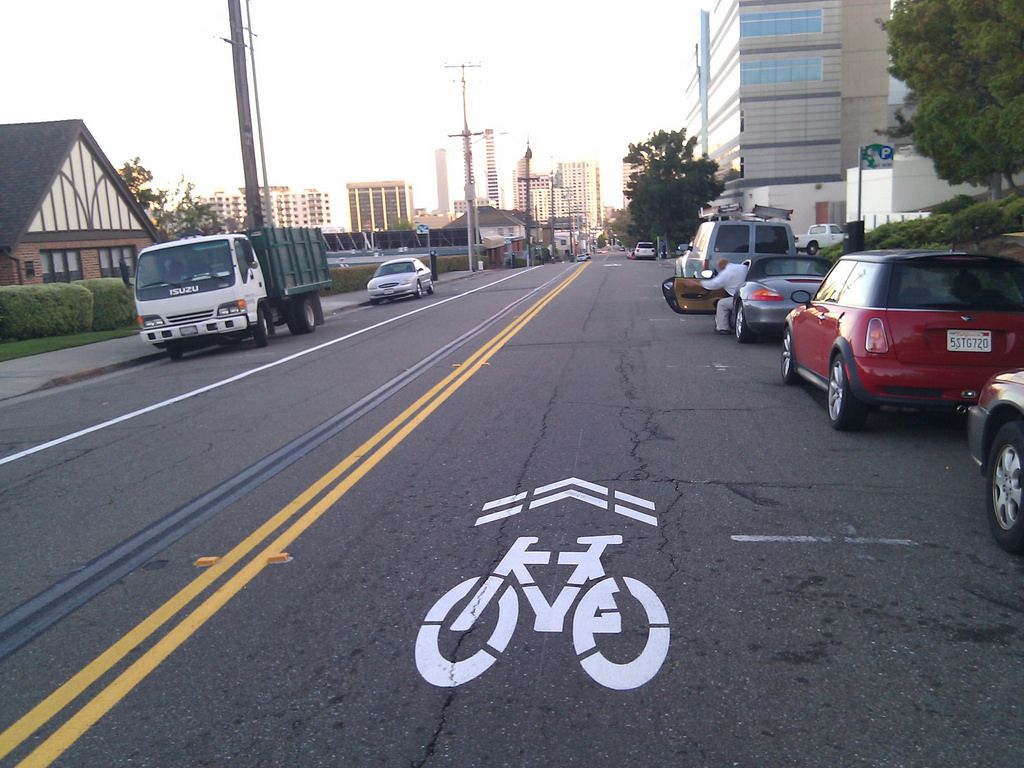
Bicycle Routes
Bicycle routes are shared roadways. These streets are characterized by additional pavement markings (sharrows) and signs indicating the expected presence of bicyclists. Typically found on neighborhood streets or similar streets experiencing low-traffic volumes.
Bicycle Boulevards
Bicycle boulevards are roads that have traffic calming features and prioritize people biking and walking. These are commonly designated on neighborhood streets. Traffic calming features can slow down people driving making neighborhood streets more comfortable for active transportation.


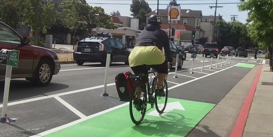
Separated Bike Lanes
Bike lanes separated from motor vehicle traffic by curbs, medians, planters, parking, or other physical barriers. They can be one or two-way facilities and tend to provide comfort for people of all ages and abilities.


[…] interactive map offers visual glossaries for pedestrian infrastructure and classes of bikeways. Since you can’t have these glossaries open at the same time as the map, they are offered as blog […]
LikeLike
[…] measures in Streets for People Active Transportation Network visual gallery – pedestrian and visual gallery – bikeway can also be implemented in quick build, as the photo below shows, a temporary curb extension with […]
LikeLike