I have been gradually compiling data on two types of properties that could be developed into housing, or mixed use, removing unproductive uses such as surface parking and empty lots. The data at the moment is just the southwest portion of the Sacramento central city, bounded by Capitol Mall/Ave on the north, Broadway on the south, Sacramento River on the west, and 16th Street on the east.
I am not claiming high accuracy. The polygons are parcels from the Sacramento County parcel layer, selected using ArcGIS Imagery basemap, with consultations to Google Maps and Google Earth (the historical imagery allows selection of views without leaves on the trees, making it much easier to see what is on a parcel). I am sure I have missed some parcels, and included some that should not be. Nevertheless, I think the pattern is worth thinking about. Parcels that contain significant parking but also contain a building are not included, though obviously when counting parking, it is important. And, the map does not include street parking or structured parking. If those were included, the map would be a mass of red. There is a remarkable amount of structured parking (often called parking decks), both freestanding, and layered into other buildings.
I have not distinguished who owns these parcels. Probably about half the parking is owned by the state, and the rest by private parking companies. Of the empty parcels, it is less clear, but there is a mix of public (state and city) and private. It would take a great deal of time to determine ownership in order to code these differently. Maybe in the future, but I’m not sure this is a significant issue.
The graphic is below, but more useful will be the ArcGIS Online WebApp Sacramento parking & empty. This is my first experiment with presenting information through a WebApp map, but I realized that people would otherwise be ruining their eyes trying to parse out the polygons of surface parking and empty lots in the static map. Red is surface parking, orange is empty parcels.
So, why the data compilation. There are a significant number of empty parcels in the central city, all of which could be housing instead of empty. And every surface parking lot could be and should be developed into a more productive use. By productive, I mean something of direct use to humans instead of cars, and more productive of sales tax and property tax. Our property tax system values empty lots and parking lots are virtually zero, meaning they contribute little to our tax base needed to provide services. I’ll say more about this shortly.
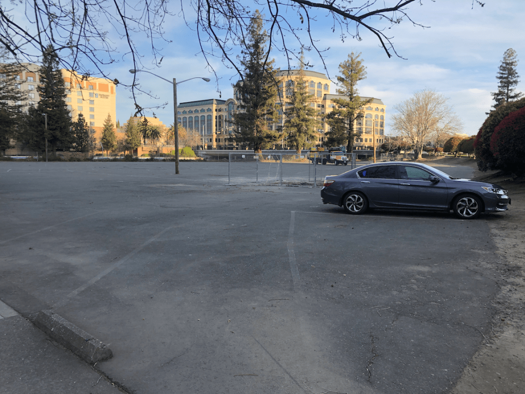
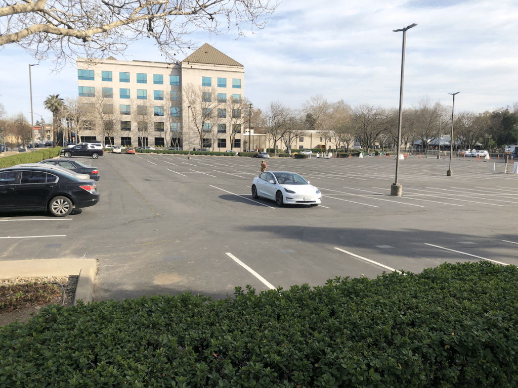
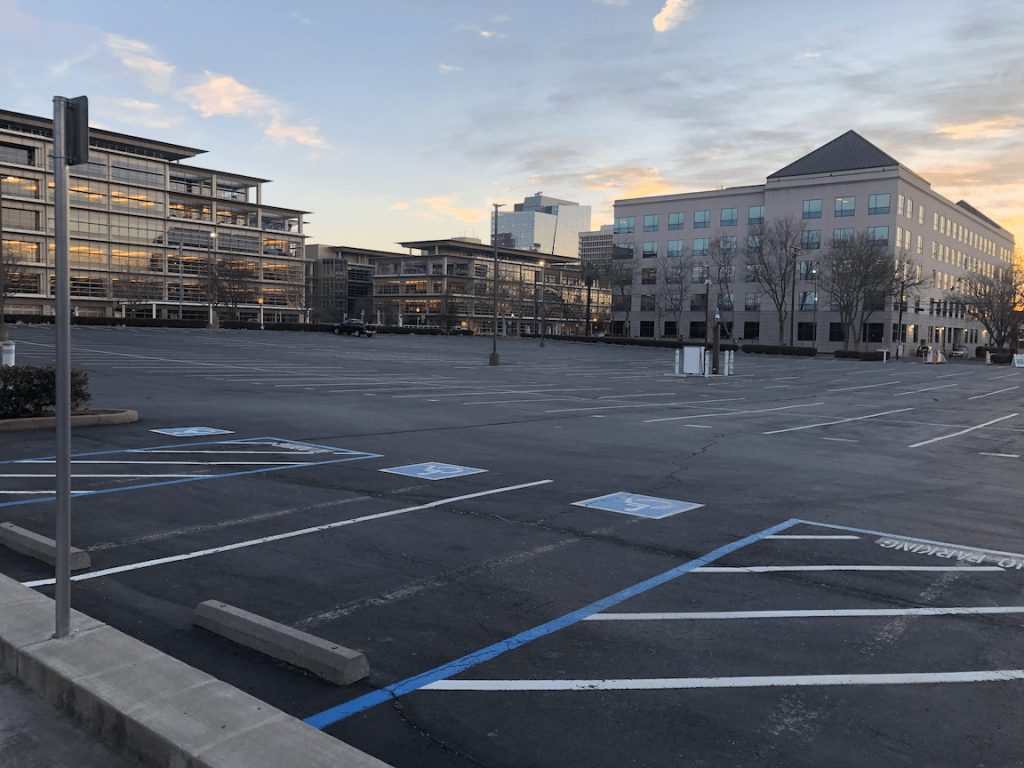
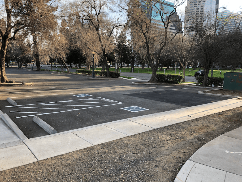
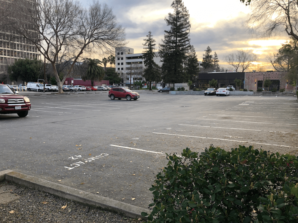
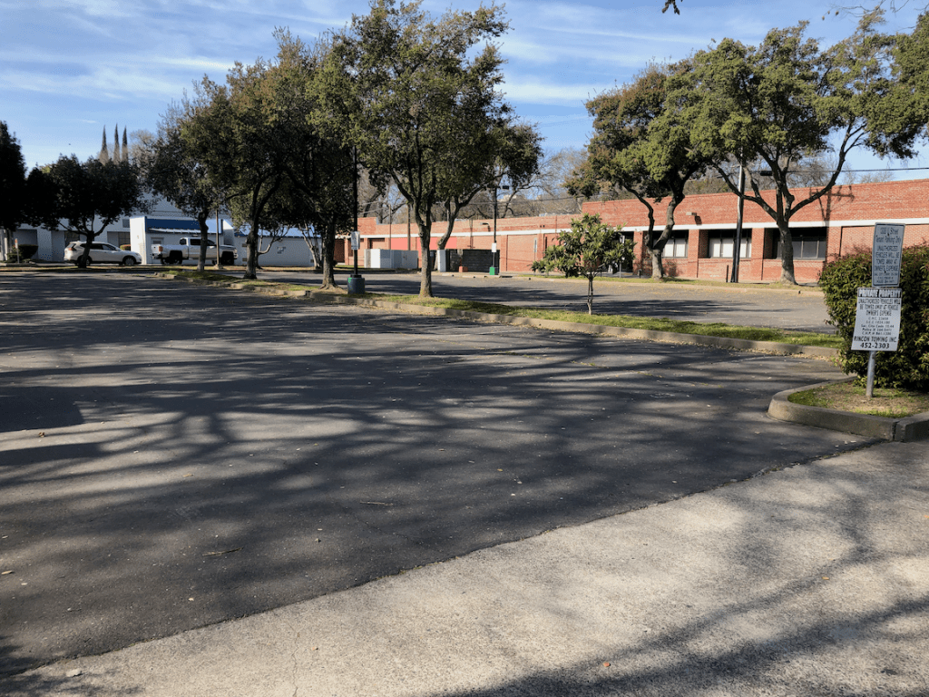
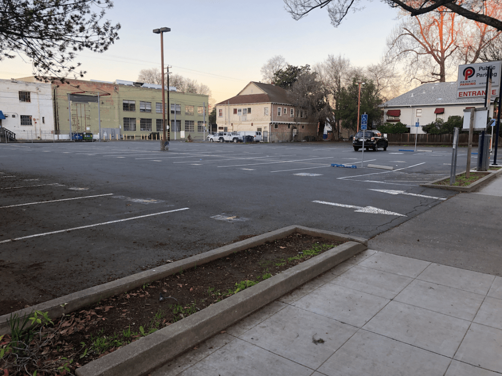
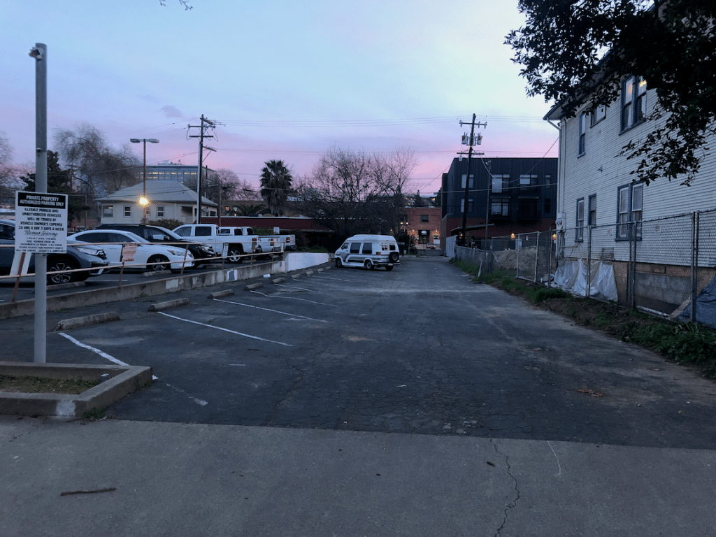
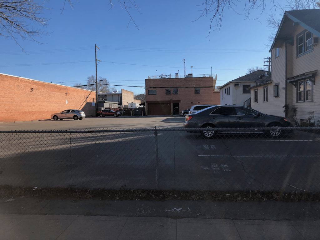
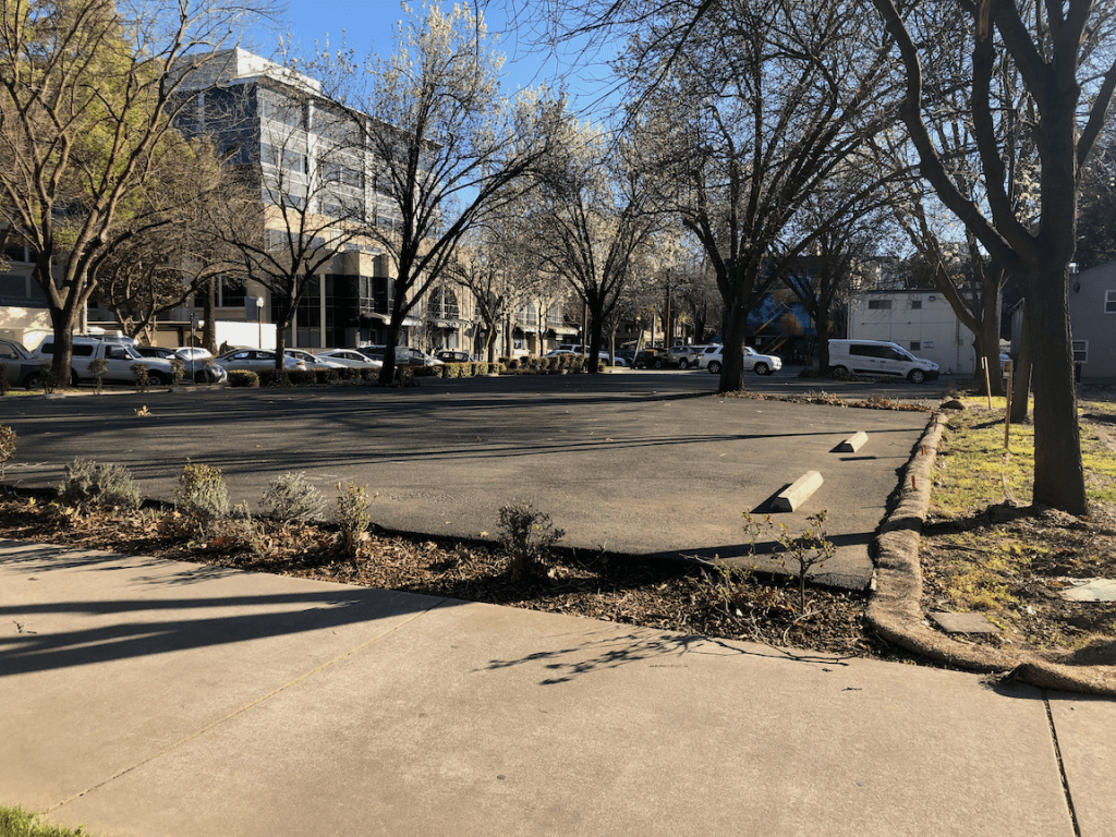
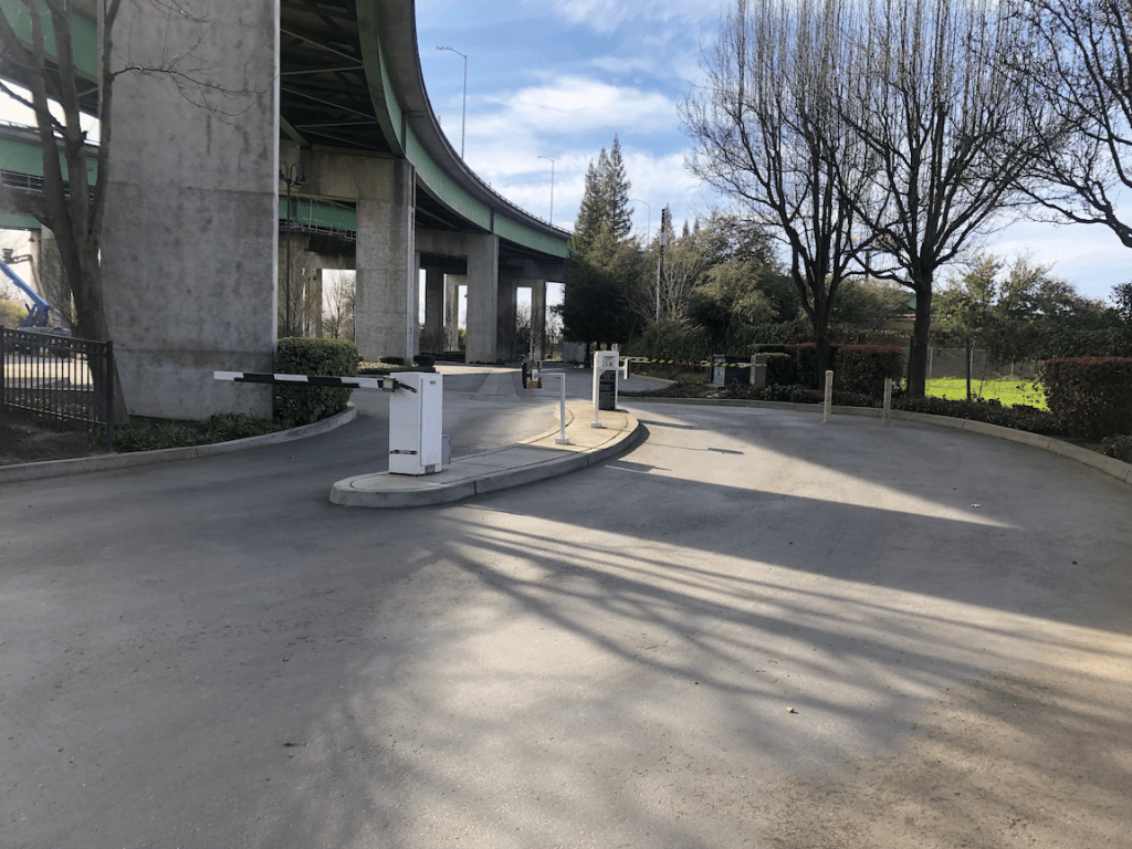
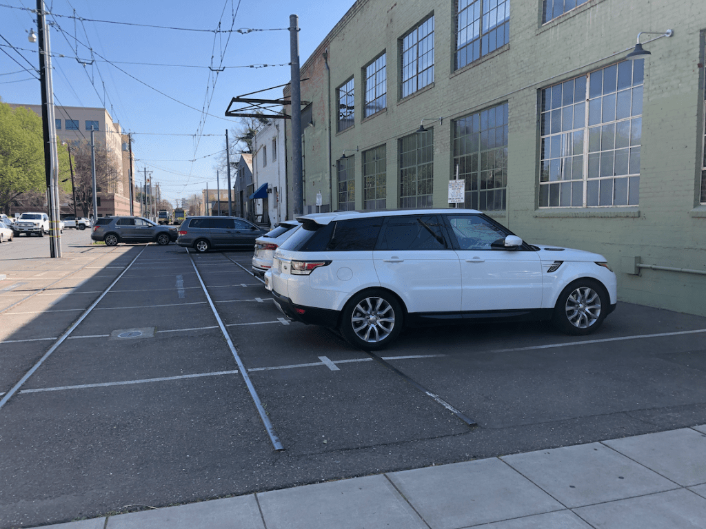
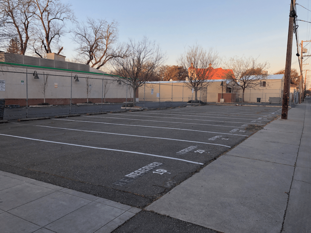
The slideshow below shows many of the surface parking lots in the southwest quadrant of the central city. It may include photos of parcels that contain a building but also have excess parking.


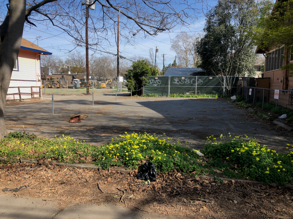


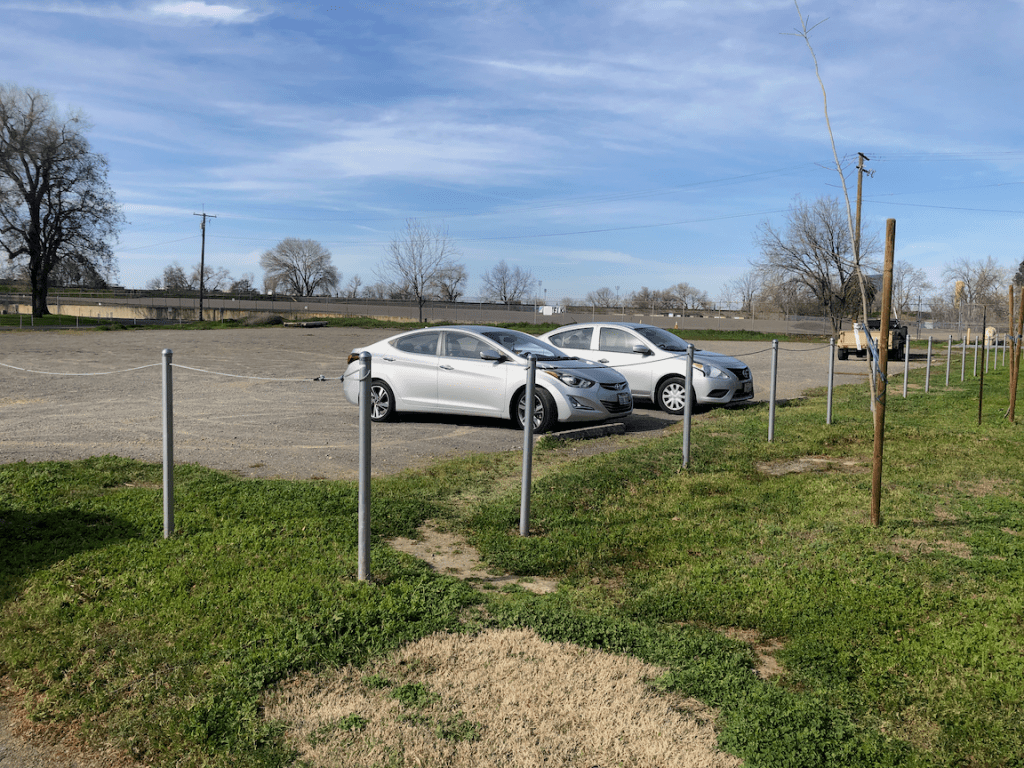

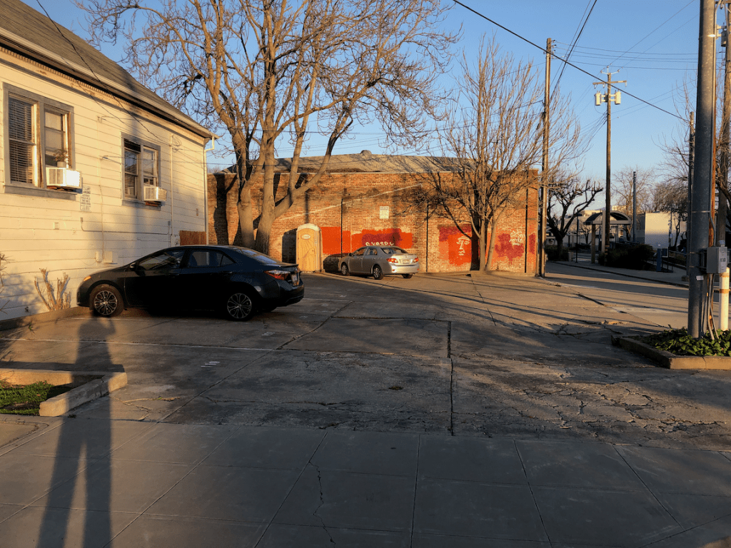


The next slideshow shows many of the empty lots in the southwest quadrant of the central city.


