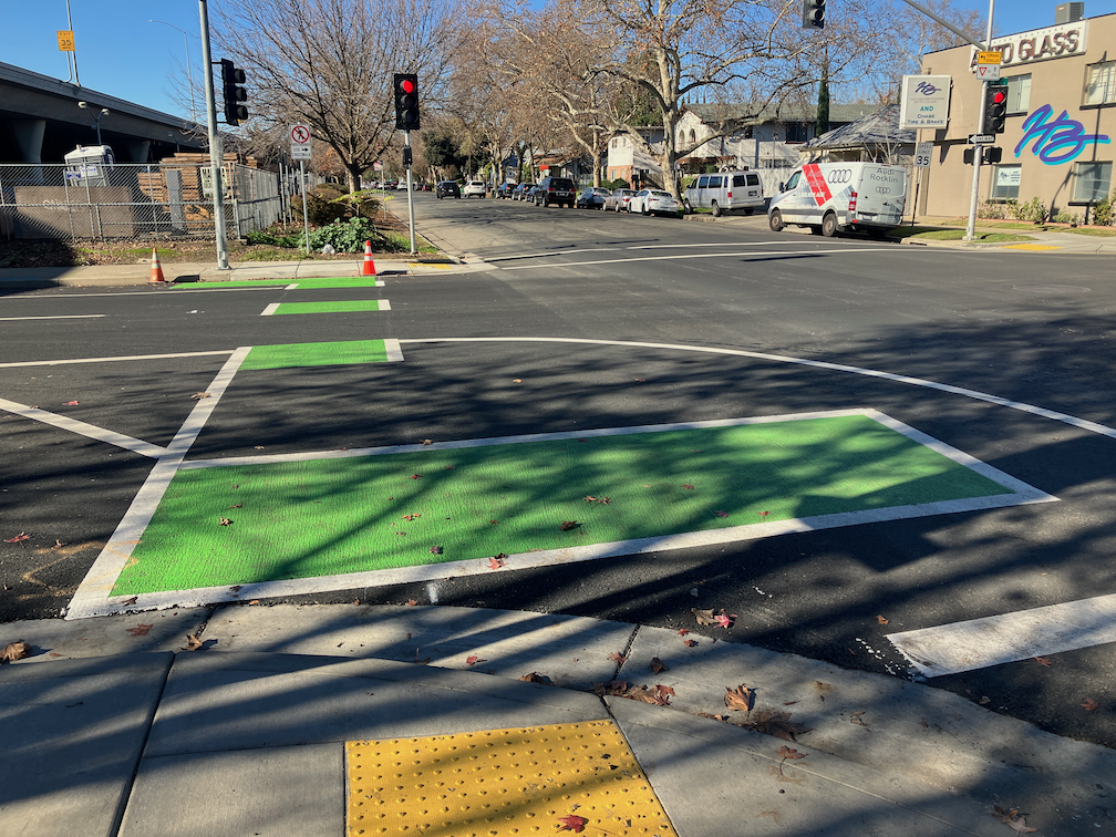
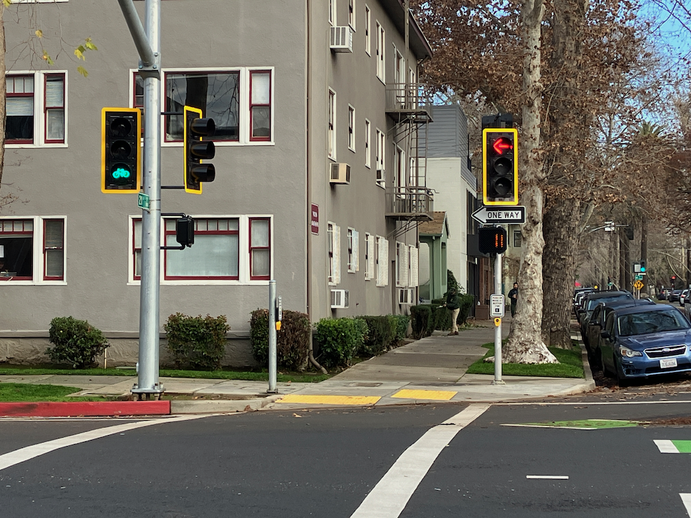
pedestrian safety countermeasures

As a follow-on to Sac City NEW beg buttons, some background information on pedestrian pushbuttons (beg buttons). The federal government, under the Federal Highway Administration (FHWA) makes available the PEDSAFE: Pedestrian Safety Guide and Countermeasure Selection System. Eleven countermeasures are offered for pedestrian crossing locations:

Note that automated pedestrian detection is among the eleven. Pedestrian pushbuttons are not listed because they are not a pedestrian safety countermeasure.

Now knowing about the Vision Zero update (thanks, Matt), I will see how the city’s list of actions compares to this list of countermeasures.

where did the bikes go? partial answer

Follow-on to where did the bikes go?.

SACOG staff provided this information:

About a month ago, Lime pulled their e-bikes from the cities of Sacramento and West Sacramento. They are renewing their permits in both cities with the intent of only continuing to provide e-scooters. Bird has about 30 e-bikes available to rent in the City of Sacramento.

Since the launch of bike share in the SACOG region, Sacramento and West Sacramento have had open market permitting for shared micromobility, which allows any private operator to apply for a permit. If the operator meets all local requirements, they are then able to deploy shared bikes and scooters. For more information on these cities’ permitting processes, please see the links below:

The City of Davis and UC Davis recently launched a shared micromobility system with Spin. More information on this program and their plans is available here: https://taps.ucdavis.edu/spin.

Though not obvious from this response, I have been told by several sources that SACOG is no longer involved in bike share in any way. They have washed their hands of the program that they originated. The last time bike share was on the agenda for SACOG board or committees was May 2023. Since then, nothing. No discussion, no announcements, no communication with the public.

City of Sacramento staff said that the permit that Lime has with the city specifies a number of ‘devices’ but does not require that any of them be bikes.

This loss of a transportation service again points out that bike share systems must be at least publicly owned, though they might be operated by a private company with expertise. This is the second time that a private bike share has pulled out of the city, and region, without any notice to customers or the agencies. This is unacceptable.

For my earlier take on bike share ownership and operation: public or private bike share?. Additional posts under category bike-share.

Sac City NEW beg buttons

I was out walking last evening, and was horrified to discover this:

photo of new beg button at Alhambra Blvd and L Street
new beg button at Alhambra Blvd & L St

This is a brand new beg button (technically called pedestrian pushbutton) on Alhambra Blvd in Sacramento. These have not been turned on yet, hence the cardboard over the button itself, but they are newly installed. There are a number of these along Alhambra Blvd, though I don’t yet know how many. For at least the ones I observed, these are all at locations where the pedestrian signal was previously on auto-recall, meaning the pedestrian signal changes as part of the regular signal cycle, not requiring any action on the part of the walker. Now, with these beg buttons, a person walking must ‘beg’ to cross the street by pressing the button. These buttons do not, at least in Sacramento, speed up the signal cycle. The person waiting must wait the same amount of time before a walk indicator comes on.

This is an affront to myself and anyone who walks. I’m sure the city considers this a pedestrian safety improvement, and I’d not be surprised if the city used pedestrian safety funds to install it. But it is a motor vehicle facility and improvement, it does absolutely nothing for someone walking. What is does do is allow the traffic engineer to favor motor vehicle traffic in signal timing.

The trend all over the US is to either remove such beg buttons completely, or to change them to accessible audible buttons. In a few places, they are being replaced by automated pedestrian detection, so that no action is required on the part of any walker. San Francisco has converted all of its beg buttons to accessible buttons. Other bay area cities have started to do so. I know of no place in the US where new beg buttons are being installed.

City of Sacramento Public Works is populated by fossil engineers and fossilized thinking. It has a cars-first attitude, and will continue to have that attitude until the fossils are cleared out. Put them in a museum of the 1970s, and get them out of our transportation system.

Tolling for I-80 managed lanes

Caltrans and Yolo County Transportation District (YoloTD) want to widen Interstate 80 in Yolo County and into Sacramento County. I previously wrote about this project in missing alternatives for Yolo 80 Managed Lanes Project. The list of alternatives seems to continually change. I saw a presentation at the SACOG Transportation Committee meeting this week that had a different list of alternatives. But the one on the Caltrans ‘Yolo 80 Corridor Improvements Project’ website is:

  • Build Alternative 2a: Add a high-occupancy vehicle lane in each direction for use by vehicles with two or more riders (HOV 2+).
  • Build Alternative 2b: Add a high-occupancy vehicle lane in each direction for use by vehicles with two or more riders (HOV 2+) and build an I-80 managed lane direct connector.
  • Build Alternative 3a: Add a high-occupancy toll lane in each direction for free use by vehicles with two or more riders (HOT 2+). Single-occupied vehicles would pay a fee for lane usage.
  • Build Alternative 3b: Add a high-occupancy toll lane in each direction for free use by vehicles with two or more riders (HOT 2+) and build an I-80 managed lane direct connector. Single-occupied vehicles would pay a fee for lane usage.
  • Build Alternative 4a: Add a high-occupancy toll lane in each direction for free use by vehicles with three or more riders (HOT 3+). Vehicles with less than three riders would pay a fee for lane usage.
  • Build Alternative 4b: Add a high-occupancy toll lane in each direction for free use by vehicles with three or more riders (HOT 3+) and build an I-80 managed lane direct connector. Vehicles with less than three riders would pay a fee for lane usage.
  • Build Alternative 5a: Add an express lane in each direction (i.e., everyone would pay a fee to use the lane, regardless of the number of riders).
  • Build Alternative 5b: Add an express lane in each direction (i.e., everyone would pay a fee to use the lane, regardless of number of riders), and build an I-80 managed lane direct connector.
  • Build Alternative 6a: Add a transit-only lane in each direction.
  • Build Alternative 6b: Add a transit-only lane in each direction and build an I-80 managed lane direct connector.
  • Build Alternative 7a: Repurpose the current number one general-purpose lane for use by vehicles with two or more riders (HOV 2+); no new lanes would be constructed.
  • Build Alternative 7b: Repurpose the current number one general-purpose lane for use by vehicles with two or more riders (HOV 2+); no new lanes would be constructed. Build an I-80 managed lane direct connector.

Note that of these 12 alternatives, 10 of them add a lane to the existing six lanes, which is capacity expansion, while 6 of them would be tolled in some manner. High occupancy toll (HOT) lanes charge vehicles that do not meet the minimum passenger count (often 2, but could be 3). Express lanes charge every vehicle using the lane, though there might be discounts for higher occupancy or certain types of vehicles, or certain times of day when there is no congestion.

I will have a lot more to say about the overall project in the future, but this post is about the tolling.

YoloTD, SACOG, and Caltrans are working on an application to the state for a regional tolling authority, a JPA – joint powers authority, that would administer tolls on these managed lanes. The proposal will be before the SACOG board on Monday, for review but not final decision (which would be in January). The two agenda documents are the staff report and the Toll Authority JPA. At the transportation committee meeting, there was general support for tolling and for the JPA, but clear discomfort about Caltrans as the possible lead agency (no one trusts Caltrans these days, though few people will say that publicly). The JPA would initially just be for the Yolo County I-80 section, but would be created so that it could include any managed lanes in the SACOG region. There are no managed lanes in the region currently, but there are in the bay area and southern California.

A tolling authority is probably a good idea. Freeways are tremendously expensive to build and to maintain, and the federal and state gas tax come nowhere close to funding either. Tolling would at least put money in the bank for maintenance. It has been suggested that it could also fund additional service for the Capitol Corridor trains and perhaps better bus service between Davis and Sacramento, but there is nothing in the JPA agreement that obligates such expenditures. It would be up to the JPA board. Income could also be used to construct other managed lanes on freeways in the region. Of course I am opposed to any added lanes, so new managed lanes are not a good use of the income. That is a risk of the JPA, that income could be used to make things worse in other places.

More info (there are quite a number of other media articles from the TV stations):

map of Yolo 80 Project

Central City Mobility: bin/leaf zones

This is Central City Mobility Project update #30.

The white line stripes that were added to the two blocks of P Street protected bikeway, 19th Street to 17th Street, are an attempt to keep leaf piles and trash cans out of the bikeway. I noted the added white stripes in Central City Mobility update #27, but wasn’t sure why they were added. The wording was added later. I have not yet observed this location on either a trash pickup day, or now that there are a lot more leaf piles. I have not seen the striping and marking on other blocks of the new bikeways, so this may be a pilot to see if it works. The practice of putting leaf piles in the regular Class 2 bike lanes in common, and the city has made no effort to reduce this practice.

photo of bin/leaf zone stencil, P St separated bikeway
bin/leaf zone stencil, P St separated bikeway

beware the leaves of December

It is fall in Sacramento, trees are turning, leaves are falling. It is my favorite time of year, in part due to the knowledge that it will be over soon, only memories and photos. While out walking the last two days, I have been watching little breezes create leaf-fall, more fascinating to watch than snowfall. The four ginkgo trees back of my apartment are at their peak of brilliant yellow color, and the ground is carpeted in yellow. Blocks with a variety of trees are a kaleidoscope of colors.

This morning landscape workers were out blowing leaves into piles, but they were falling faster than they were moved. As I write, it is raining lightly, which will accelerate the leaf fall.

photo of ginkgo tree and leaves next to bikeway on P St
ginkgo tree and leaves next to bikeway on P St

What is not to like? Well, what happens over the next few days. The wet leaves will start to rot, which is a natural process. But any leaf area where cars are allowed to drive will grind the leaves into fine particles, and those particles with turn into what I call leaf slime. Leaf slime is incredibly slippery, and it is a clear and present danger to bicyclists (and walkers). The Class 4 separated bikeways probably won’t be too bad, since bicycles don’t grind up the leaves, and the city may even get around to sweeping the bikeways. But the regular Class 2 bike lanes will be horrible. Cars will drive over the leaves, and start the process. The city very rarely sweeps bike lanes. They may be partially cleared if residents have illegally piled leaves in the bike lane, and the claw picks up the leaf piles, but the very act of scraping up the piles leaves a thin leaf slime layer.

So, it is time of year to avoid bike lanes, until there is either maintenance or enough rain to wash away the leaf slime. Ride in the general purpose lane. Yes, you will get yelled at by asshole drivers whose car isolates them from the realities of roadways, but at least you won’t be slipping and falling on the leaf slime. Beware the leaves of December.

Sac missing middle housing gets better

The Sacramento City Council will hear tonight (Tuesday, November 28, 2023, 5:00PM) on a recommendation to increase the floor area ratio (FAR) from 1 to 2 in areas within a half mile of frequent transit, and other improvements. The Missing Middle Housing program is part of the 2040 General Plan update. In October, staff brought missing middle housing to the council. Housing advocates led by House Sacramento suggested several improvements, and several council members spoke strongly in favor of improvements. See Sac missing middle housing project for background. So at the council meeting tonight, staff will be back with some of the recommended improvements. The documents are here: body of the staff report; table of public comments (the comments account for most of the size of the document, so the body will download much faster).

Public support for improved missing middle housing program policies and areas is critical to ensure that it will end up strong in the general plan. Though people opposed to better housing availability (NIMBYs) have so far not shown up to speak against it, they have been using their political power behind the scenes to ensure that housing remains scarce (which increases their own property values) and that their neighborhood does not change nor include people who have been excluded from housing and opportunity. Of course these Missing Middle Housing program elements will only take effect if they are not weakened when the 2040 General Plan is adopted, perhaps late next year. So housing advocates will need to remain vigilant.

Please see the House Sacramento Take Action page for information about providing public comment on the issue, and suggestions for your comments.

I believe that the public should support these changes. The general plan could be even better, by removing zoning completely, but this represents a huge improvement over both existing conditions and the earlier proposal.

  1. Floor area ratio (FAR) changed from 1 to 2 for all areas within a half mile of frequent transit service (which means if and when areas get better transit service, they can be similarly be allows greater housing density and variety). See map below (pdf). While the area changed is not huge, it represents a huge opportunity for more housing along light rail and SacRT bus route 1 along Stockton.
  2. The cap on dwelling per parcel are removed. Use of FAR will provide the appropriate level of control without reference to number of units. The cap on dwelling is a continuation of the exclusionary housing policies of the past.
  3. Creation of a sliding FAR scale. To be honest, I don’t quite understand this policy, but I trust to House Sacramento that it is useful.
map of areas with FAR increased to 2 within half mile of frequent transit

Four boards meeting

On November 9, 2023, the boards of four agencies met together for the first time: SACOG (Sacramento Area Council of Governments), SacRT (Sacramento Regional Transit District), SMAQMD (Sacramento Metropolitan Air Quality Management District), and SMUD (Sacramento Municipal Utilities District). This is probably the largest gathering of elected officials in one room in Sacramento history. Of course the number was not as great as you might think, because many officials serve on multiple boards. The SMUD board is independently elected, while the other three boards are composed of elected officials appointed to the boards by their own boards or councils.

The agenda for this meeting and the resolution that was passed are available here. The reason for the meeting was to advance collaboration among the boards to further mutual objectives, and to pass a resolution stating that. The staff of these agencies already collaborate to some degree, but also don’t on some important issues.

There was a long discussion period before passing of the resolution. No surprise, many of the smaller cities dominated the discussion, as is the case with SACOG board meetings. Several electeds used the time to promote commercial concerns that they benefit from, which is a really sad statement on the quality of our elected officials. Probably 90% of the discussion was devoted to electric vehicles, and in fact it looks as though seeking grant funding for more electric vehicle infrastructure was the real reason for the meeting. Grant applications with multiple agencies on board are more likely to receive funding. There was also discussion of managing forest lands for carbon sequestration and need to manage forests to reduce severe wildfire carbon release. And a few other topics. Active transportation was not one of them.

The boards tried to cut off public comment, but this caused an uproar and several citizens were allowed to speak (if they had been prevented, it would have invalidated the whole meeting under the Brown Act). Of course I spoke, and made the following points:

  • Where is Sacramento Transportation Authority? SacTA probably has more effect on carbon emissions that any other agency in the region, but was not represented. I later learned they were not invited.
  • The discussion and collaboration is about money, money, money, but should be about policy, policy, policy. What are the policies that the agencies can agree on? Money should follow policy, not control it.
  • The strong focus on motor vehicle electrification is techno-glitter, and results in deemphasizing:
    • safe walking: no mention was made of the needs of walkers for safety from motor vehicles
    • bike share: no mention was made of bike share, or scooter share for that matter
    • electric bikes: no mention was made of electric bikes during the discussion; bikes are the most important solution to the climate crisis, but one that the agencies seem particularly disinterested in
    • reducing VMT: the discussion was mostly about electrification, with very little about reducing VMT (vehicle miles traveled), though all reputable sources indicate that it will be necessary to reduce VMT along with electrification
    • land use: no mention was made of land use; though none of these agencies have direct control over land use, their expenditures affect land use and are affected by land use; the climate crisis cannot be solved without changing our land use patterns, but all of the smaller cities, and the counties, want and hope to ignore this fact

I finished up by talking about my experience with bike parking at the venue, which was the Sacramento State Alumni Center. When I rode up, there was no bike rack on the north side of the building, so I locked up to a parking sign. Exploring around I noticed a wave rack on the south side of the building. Wave racks received a ‘not recommended’ status from the Association for Pedestrian and Bicycling Professionals, which is the national standard, about ten years ago. Yet that is all the university provides. There are acres of car parking north of the building, and acres of parking south of the building. The university does have two dedicated bike parking compounds, but neither are close to the alumni center. The pathway along the south side of College Town Drive is nice, though substandard, but it ends at the intersection with Stadium Drive, where the alumni center is located. This is what we get when we focus on the needs of motor vehicle drivers, and place them above other users of the public space. This is what got us into the climate crisis, and we will not get out of it until we change that focus.

wasted signals

This is Central City Mobility Project update #29.

I have written before about excess signals in the central city: too many traffic signals?. The fact that these exist is bad enough, but as part of the 5th Street conversion project, one-way to two-way, the city is replacing unnecessary old signals with very expensive and unnecessary new signals.

At 5th Street and S Street, a new signal is being installed. S Street is a low volume street that never needed and never should have had a traffic signal. A four-way stop sign, maybe, or maybe only stop signs for S Street. A fully signalized intersection, no way. There is nothing wrong with the existing signal for northbound traffic. Of course, a new signal is needed for southbound traffic. But the city is replacing northbound. Why?

Why is the city putting in a new signal here? Because there was one here before. If this intersection were studied for whether it needed a signal, the answer would be no. A warrant is a study indicating a need for a signal, as is simply explained at http://www.apsguide.org/chapter3_mutcd.cfm (this is much easier to read than the MUTCD). The 5th Street & S Street intersection does not meet any of these criteria. So, the city is putting in a new signal because they want to, not because it is necessary.

photo of new and unnecessary signal at 5th St & S St
new and unnecessary signal at 5th St & S St

The current cost of a fully signalized intersection is $200K to $500K. Half a mil per. Your tax money. For intersections like 5th Street and P Street, a signal probably is necessary, particularly since the P Street and Q Street traffic sewers encourage high speeds.

It is likely that the signal at T Street is similarly unnecessary, however, T Street is busier than S Street, so might be justified by traffic volume. I’d like to see the city do a new traffic warrant study on this intersection. The city always uses warrants as an excuse for something it does not want to do, but seems to ignore these for things it wants to do. A typical traffic engineering misuse of MUTCD guidance.

Central City Mobility: 5th St signals and rubber speed bumps

This is Central City Mobility Project update #28.

Rubber Speed Bumps

The rubber speed bumps have finally been installed on most of the non-concrete turn wedges. These are marked by vertical delineators, as shown below. it is odd that most of these installations have both green K-71 vertical delineators in addition. These K-71s might have been installed temporarily, while waiting for the rubber speed bumps, and be removed later, or may be permanent. In some of the locations, the white vertical delineators have already been hit and bent by errant drivers. I have not visited all of the locations where the rubber speed bumps have been installed (or not), so don’t have any more information. More info about the rubber speed bumps is available from the vendor TreeTop Products.

photo of turn wedge at 16th St & P St, with green K-71 delineators and rubber speed bumps
turn wedge at 16th St & P St, with green K-71 delineators and rubber speed bumps
Read More »