a trip to San Rafael

Dan Allison, author of this blog, took a trip to San Rafael, California, in north bay Marin County, on Monday of Week Without Driving. To be transparent, I have been car-free for over 13 years, and car-light for about 7 years before that, so a trip on bicycle and public transportation is just the way I live life, not an exploration of the challenge that people who can’t drive face. My income is lower middle income, so I have enough money to travel, at least locally. I went to San Rafael to retrieve my phone charger and battery pack that I’d left on a Marin Transit bus last Wednesday. It took three days for Marin Transit to find the item and get it to lost and found. It was entertaining, and sad, to watch the included AirTag travel around on multiple bus routes. AirTags are bluetooth, so only report when they are close to a modern iPhone, but they do keep showing up in new locations.

So, the Monday trip:

  • bicycle from home to Sacramento Valley Station
  • Capitol Corridor train from Sacramento Valley Station to Richmond Station, $22.95
  • BART from Richmond to El Cerrito del Norte, $0.85
  • Golden Gate Transit bus 580 from El Cerrito del Norte to San Rafael Transit Center, $3.50
  • bicycle to a local coffee shop, where I worked on Week Without Driving communication
  • bicycle to Sprouts Farmers Market for lunch supplies
  • bicycle to Larkspur Ferry
  • Golden Gate Larkspur Ferry to San Francisco, $7
  • bicycle to San Francisco Bay Ferry gate G1
  • San Francisco Bay Ferry to Oakland Ferry, $2.30
  • bicycle to Oakland Jack London Station
  • Capitol Corridor from Oakland to Sacramento, $24.65
  • bicycle from Sacramento Valley Station to home

All of the public transportation was using my senior Clipper Card, on my watch. Capitol Corridor train travel was pre-purchased tickets through the app. The total was $61.25, which is rather expensive for a none day trip, but is quite a bit less than I would have spent driving. At about 83 miles there, and about 105 miles back, using the IRS rate of $0.67 per mile, driving would have cost $126. Plus $17.25 for Golden Gate Bridge and Carquinez Bridge tolls. Most people think only about gas costs, or charging costs, and forget about depreciation, insurance, maintenance, parking, and tolls.

Travel time is hard to compare, since I made so many stops along the way, and did not travel by the most direct route. Looking at the simpler Sacramento to San Rafael trip, driving would be 1 hour 20 minutes, whereas I spent about 2 hours 20 minutes on public transportation.

This is a trip that I’ve taken many times, so there was very little planning involved, and in fact I changed my plans for the leg back home several times on the fly, without problems. Less familiar trips would take more planning.

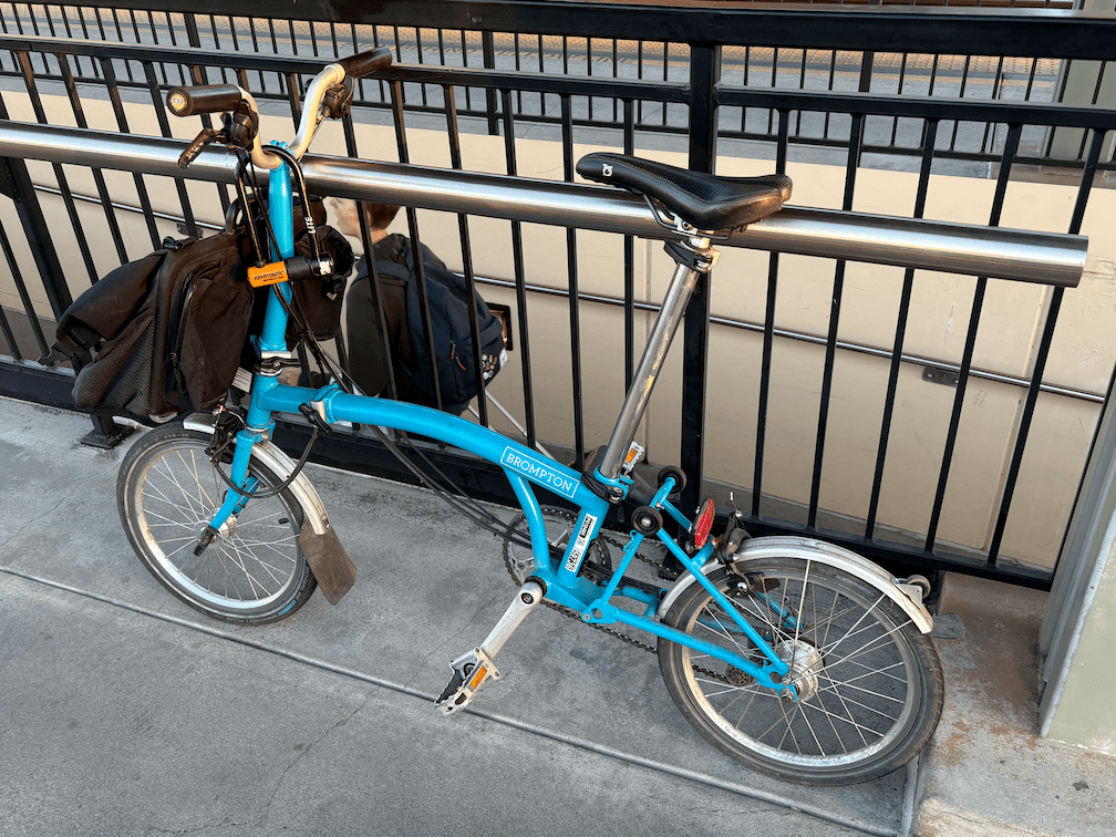
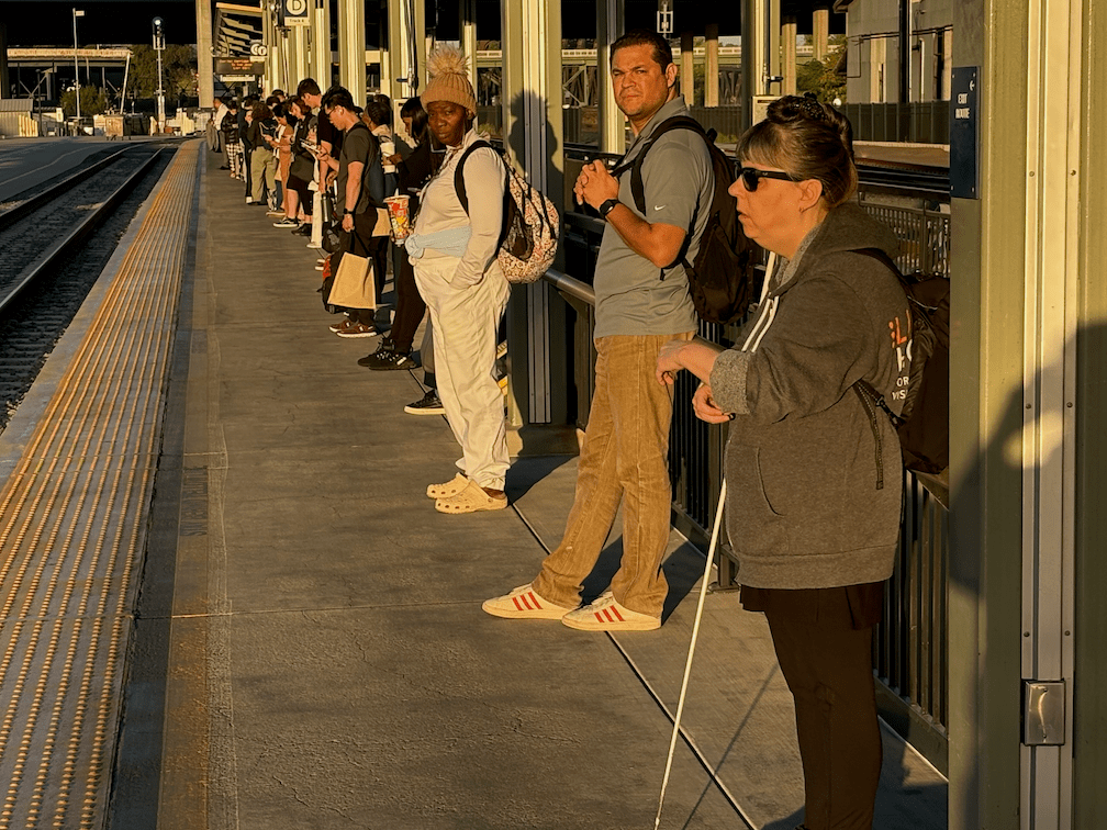
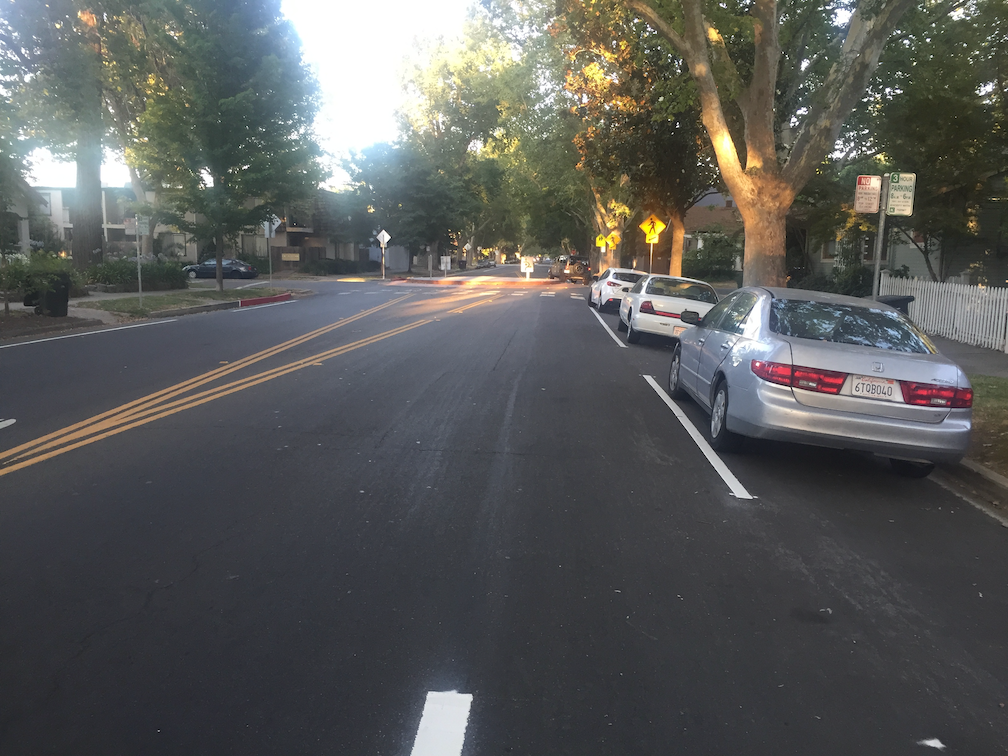
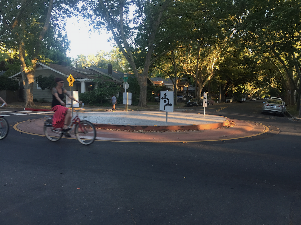
A few photos from my trip are below, but many parts are missing. I’m not used to documenting my public transportation travels, and even less for selfies.

SB 960 complete streets signed

Governor Newsom has signed SB 960, the complete streets bill (SB-960 Transportation: planning: complete streets facilities: transit priority facilities.), authored by Scott Wiener. That’s the good news. It is certain that the Caltrans districts will resist this law, but with oversight by CalBike and the public, things will gradually shift.

Week Without Driving now!

Week Without Driving 2024 starts today, lasting the seven days, Monday, September 30 through Sunday, October 6.

For more information and to participate, see:

Week Without Driving Sacramento does not have social media accounts beyond Instagram, but you may use the same hashtags on any social media. Help spread the word!

traffic circles

For National Roundabouts Week, here are sample of some traffic circles. True roundabouts have significant horizontal deflection to slow motor vehicles, and do not have any traffic control devices such as stop signs. I do not consider multi-lane roundabout-like structures to be roundabouts, but unfortunately have not come up with a term to distinguish them.

Traffic circles are not roundabouts, at least not as implemented here in the Sacramento region. They are sometimes called mini-roundabouts, which is OK, but they should never be called roundabouts without a modifier. The eight photos below of traffic circles in the Sacramento region, most in the northeast portion of the central city, show some of the settings, and the wide variation in diameter. If the traffic circle is large enough, occupying a significant portion of the intersection, they do cause significant horizontal deflection and therefore slow traffic. Some of the traffic circles are too small, and do not force horizontal deflection and slowing. All of these examples have stop signs on one of the cross streets, so they do not meet the criteria of a true roundabout.

The safety of these structures is somewhere between a true roundabout (high safety) and a regular perpendicular intersection (low safety). Regular intersections are the location of most crashes, whether they are controlled by 2-way stops, 4-way stops, or signals.

See traffic calming measures for additional information on roundabouts and other traffic calming devices.

I have many. fewer photos of true roundabouts, in part because there are many fewer in the region, but I will post on those shortly.

Yuba City sales tax for transportation+

SacBee: Yuba City voters will decide on an unorthodox sales tax. How will it work, what does it pay for?

Yuba City will be placing on the November ballot Measure D sales tax that includes ‘Roads – tackling the $150 million in deferred maintenance on our local roads’. It is a general purpose sales tax measure, so the city can change how funds are allocated after it passes (as happened with some of the City of Sacramento Measure U funds), but it is interesting that a small city in the Sacramento region is taking the initiative to fix its roads, when others are not.

Elk Grove passed Measure E, a one-cent sales tax measure, also a general measure, which includes ‘Maintaining Streets and Improving Traffic’. Rancho Cordova passed Measures R and H to ‘to improve city streets’ among other general purposes. There may be others. Sacramento County has been unable to pass a sales tax measure for transportation since 2009’s Measure A, which is in effect through 2039, though there may be a ballot measure in 2026. The City of Sacramento has not passed a sales tax measure for transportation. Measure U did not include a call-out for transportation, though as a general measure, funds could be used for transportation.

Yuba City chart on the increasing cots of deferred roadway maintenance
Yuba City chart on the increasing costs of deferred roadway maintenance

National Roundabouts Week

September 16 to 20, 2024, is National Roundabouts Week, sponsored by Federal Highway Administration (FHWA). Two graphics from FHWA below. I hope to have most posts this week on local examples of true roundabouts, traffic circles, and multi-lane roundabouts. I hate that multi-lane roundabouts are called roundabouts at all, since I believe they are no safer than regular intersections and lose the tremendous benefits of single-lane roundabouts.

Strong SacTown Street Design: Active Street Typology

Active Street Typology is the seventh post by Strong SacTown to improve and promote the City of Sacramento update to its Street Design Standards. Other posts at tag: street design standards.

“Active Streets are similar to Local Streets, but with additional features to encourage and prioritize active transportation including biking, rolling, and walking. Well-planned Active Streets form a cohesive network of safe, convenient, and direct connections to local destinations and between neighborhoods. Low vehicle volumes and speeds are an essential characteristic of Active Streets, and the typology shares many facets of the bicycle boulevard or neighborhood greenway street types found in other jurisdictions.”

traffic violence emergency at Sac City Council

It is likely that council member Caity Maple, along with Mayor Darryl Steinberg and council member Karina Talamantes, will introduce an emergency declaration on traffic safety at the city council meeting tonight, starting at 5:00 PM. The item is not on the agenda, so I presume it will be introduced during the ‘Council Comments-Ideas, Questions’ part of the agenda, after all the numbered agenda items. Council members get their ‘matters not on the agenda’ time, just like the public does. None of the advocates I have asked have a clear picture of how emergency declarations work. I presume the idea will come back to council one to many times in the near future, but tonight is your first chance to hear what the council has to say and comment on the ideas.

Caity Maple has posted about the recent injury (now fatality) and the emergency response she wants the city to take:


I’m devastated to see yet another person critically injured after being struck by a vehicle on Sacramento’s roads. Even beyond our City’s commitments to eliminate traffic deaths through Vision Zero, we need to take immediate and urgent action. This coming Tuesday, alongside my colleagues Mayor Darrell Steinberg and Mayor Pro Tem Karina Talamantes, I will be introducing a proposal that:

  • Declares a state of emergency for the City of Sacramento regarding the road safety crisis
  • Directs the City Manager to identify funding for a public education campaign focused on driver education, pedestrian/ bicyclist awareness, and traffic safety
  • Directs the City Manager to work with SacPD to ramp up enforcement of traffic laws that protect pedestrians, including speed limit enforcement, crosswalk violations, and distracted driving, especially in high-injury corridors
  • Reaffirms our commitment to Vision Zero and directs staff to expedite safety projects

Read More »

traffic calming measures

The Strong SacTown Street Design Standards Team has posted on Modal Filters, which are probably the most effective tool we have for calming and slowing traffic. But there are a number of others than can be used, sometimes more effective depending on the context of the street being redesigned. The traffic calming features below are listed in approximate order of effectiveness, following modal filters of course, but each street to be redesigned for traffic calming is unique, so the best solutions will vary.

The city has a parallel project, the Streets for People Active Transportation Plan. The Neighborhood Connections storymap Traffic Calming tab (scroll the menu bar right if you don’t see this tab) has great examples of many of the traffic calming features. I am using some of those in the recommendations below.

Note: A recently release study of traffic speed reductions engendered by complete streets elements in Minnesota identified roundabouts as the most effective as slowing drivers. Crossroads: Measuring the Effects of Road Features on Driving Speeds, 2024-09-11.

Marked Crosswalks

Though state law recognizes that there is a legal crosswalk on every side of every intersection, unless signed against, many drivers do not understand that they must yield to walkers crossing, whether the crosswalk is marked (painted) or not. The crosswalk at every side of every intersection should be painted, though low volume low speed streets may not require marked crosswalks. Decorative designs within the crosswalk further increase visibility.

photo of decorative crosswalk, O Street in Sacramento
decorative crosswalk, O Street in Sacramento
Read More »

Park(ing) Day in Sacramento on September 21

Park(ing) Day, is an international and local event: “Park(ing) day is a global, public, participatory project where people across the world temporarily repurpose curbside parking spaces and convert them into public parks and social spaces to advocate for safer, greener, and more equitable streets for people.

Strong SacTown, the affiliate or ‘local conversation’ of the Strong Towns organization, and SABA, are sponsoring a Park(ing) Day event on Saturday, September 21, from 11:00am to 2:00pm. The location will be repurposed parking spaces at 1607 10th Street, Sacramento, in front of Cafe Xocolatl, which is supporting the event.

The Park(ing) Day website (https://www.myparkingday.org) map shows a second location in Sacramento, on 20th Street between J and K streets, but doesn’t have information about the date and time or sponsor. This may be a carryover from 2023 when there was an event on 20th Street.