Posts related to the work zone guidelines are linked via category ‘Work Zones‘ within City of Sacramento category. Posts about construction project issues, previous to and after the release of the draft guidelines, of which there are a huge number, are linked via tag ‘construction zone‘ within Active Transportation category.
I walked a long section of Broadway today, and came across two construction projects that close sidewalks without proper and safe signing and barricades.
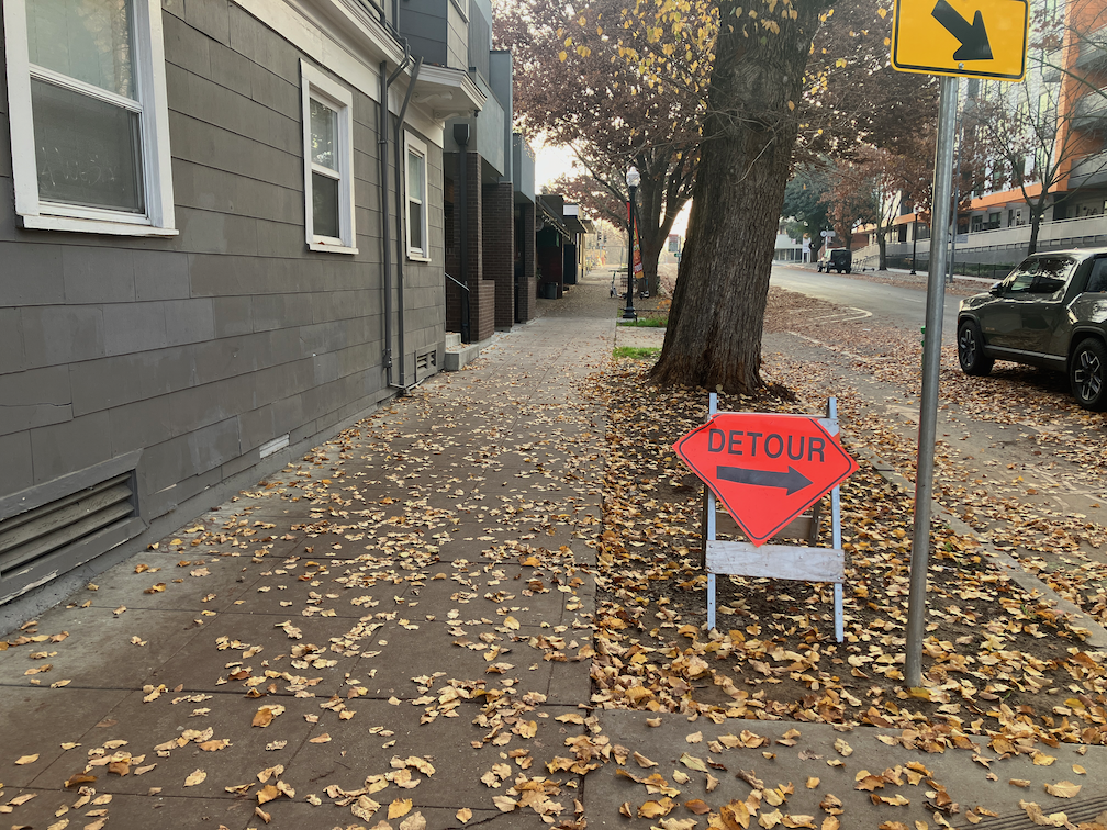
‘Dental Clinic Remodel’
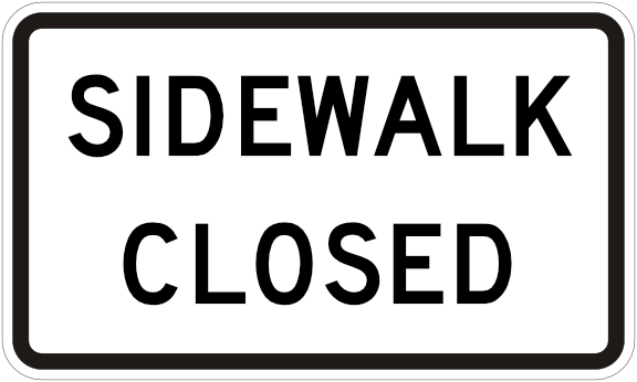
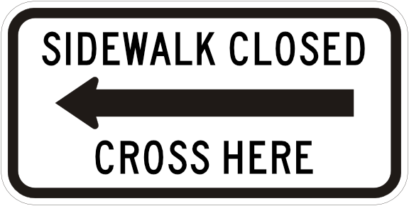
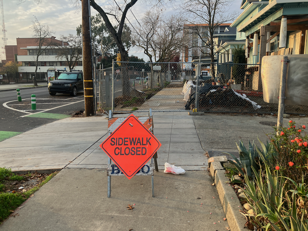
I put this one in quotes because it is a building that has been abandoned for years, but is apparently now under construction. Construction for this half-block building on the north side of Broadway between 23rd and 22nd Streets has closed sidewalks on both 23rd and 22nd. For 23rd, there is some signing, but also a non-detectable chainlink fence and trips hazard folding barricade. As with many other construction projects, a sign on hand, the bicycle/pedestrian detour sign (MUTCD M4-9a), was used though it is not required or appropriate. The sidewalk closed ahead cross here (MUTCD R9-11) is a valid sign, but the wrong location. The sidewalk is closed HERE, not ahead, so the correct sign is sidewalk closed cross here (MUTCD R9-11a).

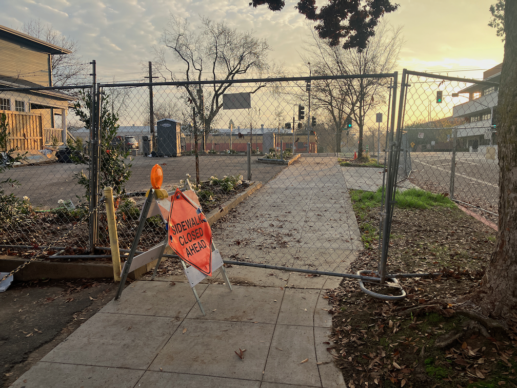
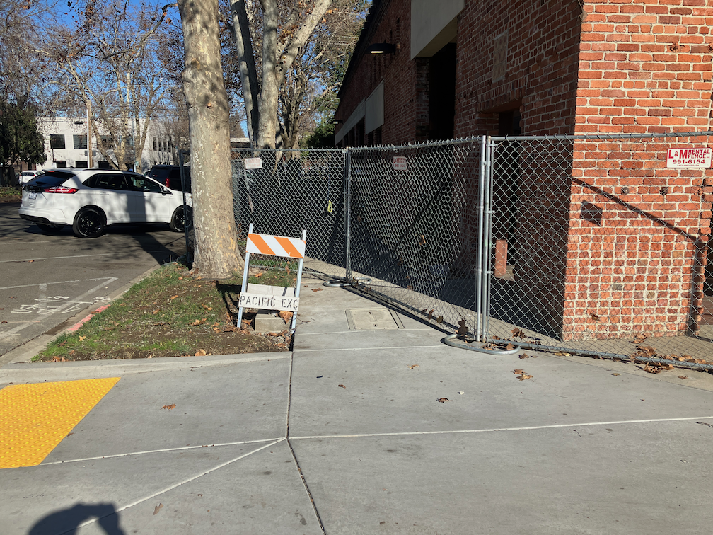
At the corner of Broadway and 22nd Street, there is no sign at all, and the same non-detectable chainlink fence used as a barricade.
I did not check on the north side of these sidewalk closures, but I would assume the signing and detectability is the same or worse.
Read More »